Russian Shahed-type drone transits Zhytomyr Oblast in ongoing strike campaign
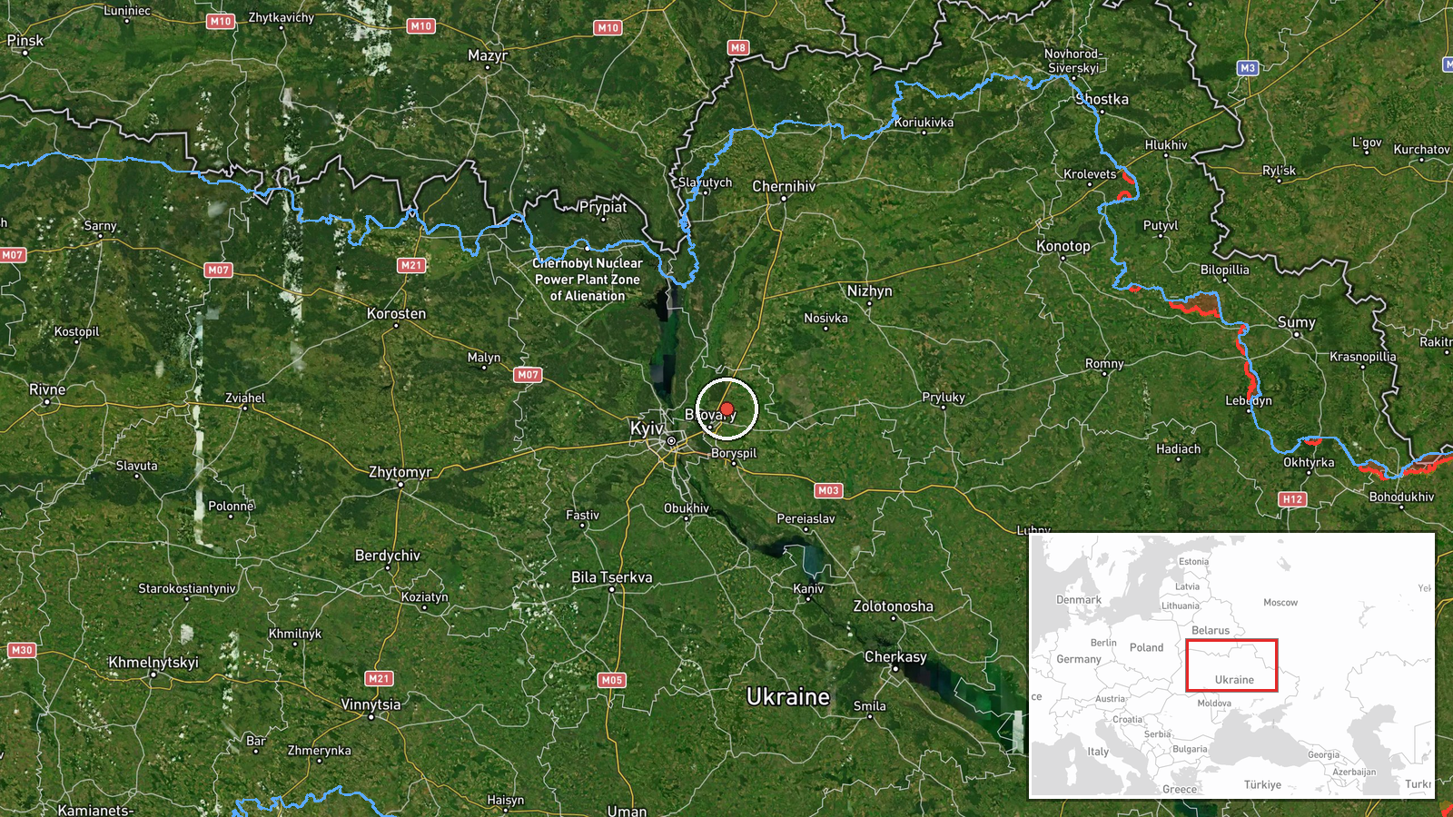
What happened
Ukrainian air monitoring reported one Russian reactive-engine unmanned aerial vehicle detected in flight near Ovruch, Zhytomyr Oblast, on 23 September at 15:43 UTC. The drone was identified as a Shahed-136 variant or similar cruise-capable system. The report came via Telegram channel @war_monitor, a single source noting the transit over northern Ukraine without specifying immediate strike outcome.
Context and assessment
This transit occurred during an intensified Russian drone campaign against Ukraine's Kyiv region and surrounding oblasts. Earlier on 23 September, Ukrainian air defense reported destroying or suppressing 122 enemy targets, predominantly Shahed and Geran drones, from a larger Russian attack wave of 161 total systems. The Ovruch detection follows a confirmed Shahed-type drone departure from Slavutych toward Kyiv region the same morning, and Russian strikes against infrastructure targets including a major pharmaceutical plant in Kyiv. Zhytomyr Oblast's location north and west of Kyiv makes it a common transit corridor for Russian drones targeting the capital and surrounding critical infrastructure.
Sources and confidence
Single source: Telegram channel @war_monitor. No cross-confirmation from other monitoring channels provided in available data. Confidence score of 6.0 reflects limited corroboration. Raising confidence would require secondary reports from Ukrainian air force, SBU, or independent monitoring networks. Lower precision is typical for transit-only reports without interception or strike confirmation.
Location
Ovruch is a city in Zhytomyr Oblast in northern Ukraine, approximately 150 km northwest of Kyiv. The settlement sits in the historic Polissia region characterized by forested terrain and river systems. Geographic precision is regional rather than pinpoint, indicating detection via air monitoring rather than ground-level observation.
Related events nearby
- One Russian Shahed-type (reaktiv) drone departed Slavutych and transited toward Kyiv region at low altitude. M2026-09-23 11:58 UTC · Drone Transit · Kyiv Oblast, Ukraine
- Ukrainian air defense destroyed/suppressed 122 enemy targets (119 Shahed/Geran drones, 3 cruise missiles) duri2026-09-23 05:34 UTC · Report · Central Ukraine
- Russian forces struck Darnytskyy pharmaceutical plant (Darnytsia), one of Ukraine's largest companies and majo2026-09-23 11:02 UTC · Airstrike · Darnytskyy Pharmaceutical Plant, Darnytsia Distric
- Intelligence source linked to SBU reports potential Russian strike targets in Kyiv and Kyiv Oblast, including 2026-09-23 09:11 UTC · Report · Kyiv, Kyiv Oblast, Ukraine
- All-clear signal issued for Kyiv and Kyiv Oblast after air raid. No new reactive (jet-motorized Shahed-136) dr2026-09-23 06:14 UTC · Siren · Kyiv, Kyiv Oblast, Ukraine
▶ View this event on the live map
Intel Mapper aggregates open-source reports from monitored Telegram and X channels, geolocates them, cross-checks duplicates across sources and assigns a confidence score. Entries are updated as new confirmations arrive. Read how we verify events.