Russian Shahed drone transits over Kyiv's Obolonь district at low altitude
What happened
Ukrainian air monitoring reported a single Russian reactive-engine (jet-powered) Shahed-variant unmanned aerial vehicle transiting over the Obolonì district of Kyiv at approximately 1 kilometre altitude on 24 September at 01:32 UTC. The drone was heading toward the Sireć district. The report was issued by the Telegram channel @war_monitor as part of ongoing Russian drone operations across multiple Ukrainian regions.
Context and assessment
Kyiv remains under sustained drone pressure as Russia continues massed unmanned attacks across Ukrainian territory. The low-altitude transit through a densely populated northwestern district suggests either targeting of civilian or military infrastructure in or beyond Sireć, or routing toward other objectives. Related air alerts in Sireć and nearby areas on 23 September and reports of explosions in Kyiv the same day indicate a pattern of concentrated pressure on the capital. Shahed variants, despite attrition, continue to represent Russia's primary means of stand-off strikes against Ukrainian cities.
Sources and confidence
Single source: Telegram channel @war_monitor. The report reflects real-time Ukrainian air monitoring data. Confidence score of 6.0 reflects reliance on one channel without independent cross-confirmation. Corroboration from Ukrainian air force or defence ministry statements, or secondary reporting, would increase confidence. Absence of claimed interception or impact assessment is neutral.
Location
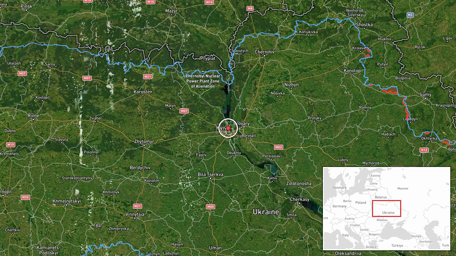
Obolonì district, northwestern Kyiv, identified via settlement-level precision at coordinates 50.50°N, 30.50°E. The district lies north of the Dnipro River; Sireć, the reported direction of travel, lies further northwest. Both are residential and mixed-use urban areas.
Related events nearby
- Russian Shahed-type reactive drone transited over Nivki district, Kyiv at high altitude. Air alert issued for 2026-09-23 13:32 UTC · Drone Transit · Kurenivka, Kyiv, Ukraine
- Air raid alert issued in Kyiv region, with sirens activated in Sireć and Kryukivshchyna areas. High alert stat2026-09-23 11:14 UTC · Siren · Sireć, Kyiv Oblast, Ukraine
- Ukraine's Foreign Minister Sybiha responds to Russia's failed military objectives with sarcastic statement: Ru2026-09-23 17:23 UTC · Statement · Kyiv, Ukraine
- Ukraine's Foreign Minister Sybiha announces Ukraine has agreed to a full, immediate, and unconditional ceasefi2026-09-23 15:50 UTC · Statement · Kyiv, Ukraine
- Al Arabiya correspondent reports explosion heard in Kyiv. Details remain limited; likely related to ongoing Ru2026-09-23 14:20 UTC · Explosion · Kyiv, Ukraine
▶ View this event on the live map
Intel Mapper aggregates open-source reports from monitored Telegram and X channels, geolocates them, cross-checks duplicates across sources and assigns a confidence score. Entries are updated as new confirmations arrive. Read how we verify events.