Two Shahed drones transiting over Ternopil Oblast from the east
What happened
Ukrainian air monitoring reported two Russian Shahed-variant unmanned aerial vehicles moving through Ternopil Oblast from an easterly direction on 24 September at 02:31 UTC. The report describes the systems as jet-engined reactive drones, characteristic of the Shahed family of Iranian-origin loitering munitions that Russia has employed extensively in the conflict. The monitoring channel did not report interception or impact details.
Context and assessment
Ternopil Oblast in western Ukraine has faced periodic drone activity but remains outside the primary combat zone. Shahed transits over the region typically indicate either targeting of civilian or rear-area infrastructure, or routing toward western targets. The easterly approach suggests movement from Russian-controlled or disputed airspace toward the oblast. Drone sorties over this territory have increased episodically as Russia seeks to strain Ukrainian air defenses and strike targets beyond the frontline. The single transit report may indicate a broader strike package or isolated penetration attempt.
Sources and confidence
Report sourced from Telegram channel @war_monitor, a Ukrainian air defense monitoring account. Single-source reporting limits independent confirmation; such channels maintain generally reliable logs of air activity but depend on real-time observer networks. Confidence score of 6.0 reflects typical reliability of air monitoring channels balanced against lack of corroborating reports. Confirmation from additional Ukrainian official channels or air force statements would strengthen confidence.
Location
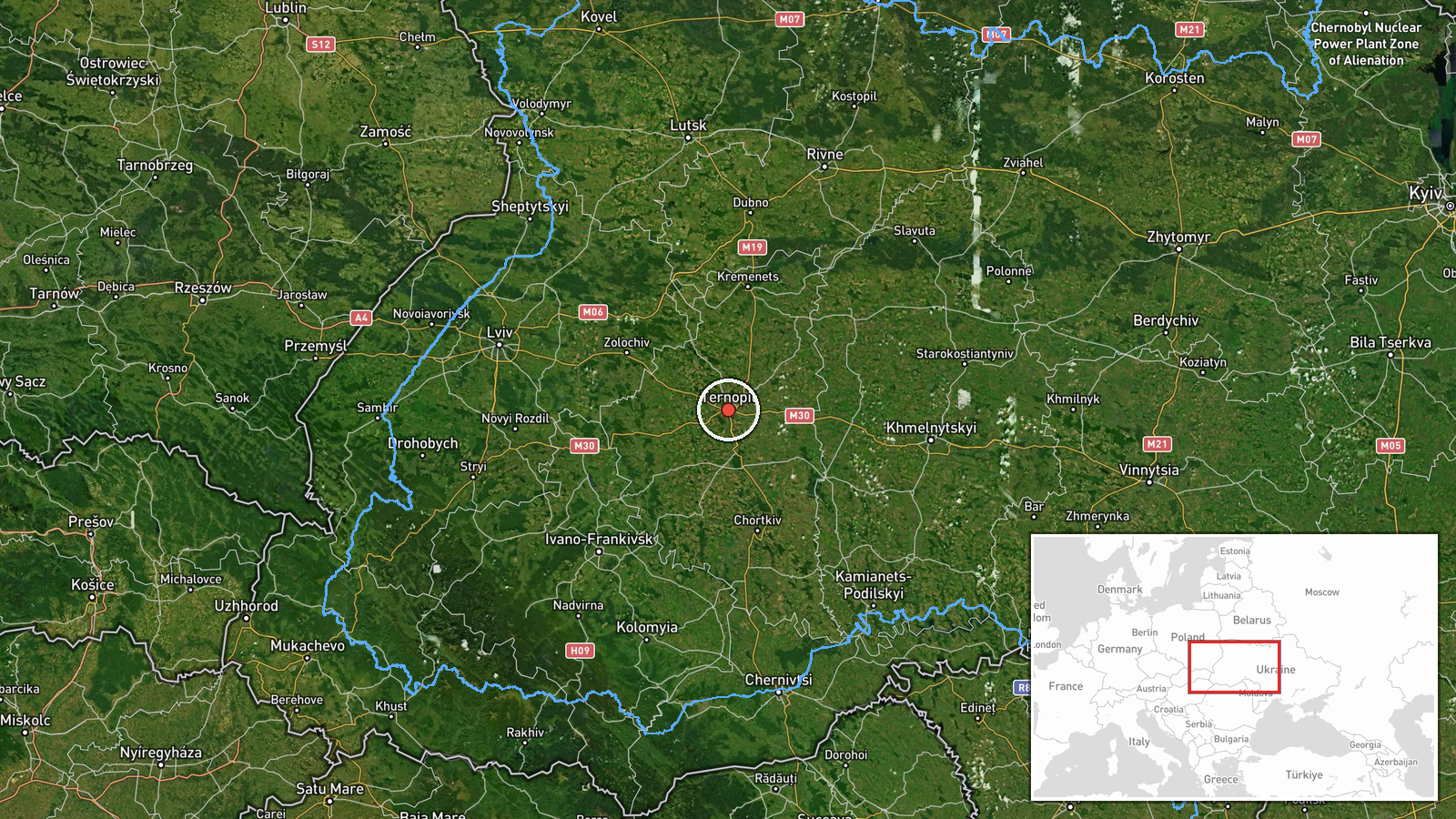
Ternopil Oblast, a region in western Ukraine bordering Poland and Moldova, centered near coordinates 49.56°N, 25.59°E. The report provides regional-level precision without specifying settlement or target. The oblast contains scattered urban areas and infrastructure; the easterly transit vector suggests approach from the Dnipro River valley or central Ukrainian airspace toward potential targets in the west.
▶ View this event on the live map
Intel Mapper aggregates open-source reports from monitored Telegram and X channels, geolocates them, cross-checks duplicates across sources and assigns a confidence score. Entries are updated as new confirmations arrive. Read how we verify events.