Russian Shahed-136 variant transits high over Odesa without reported impact
What happened
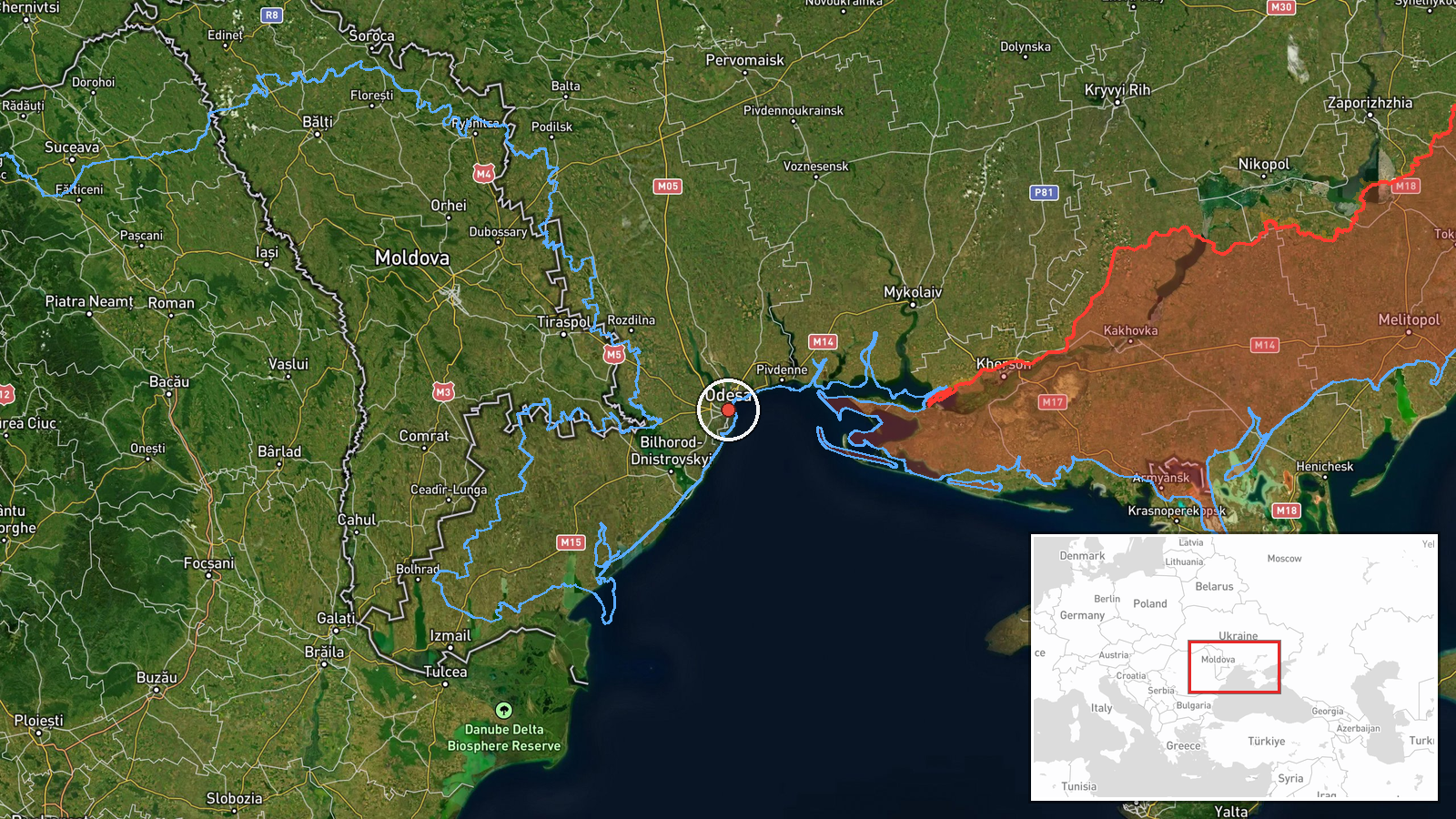
A single jet-powered Shahed-136 variant drone was detected transiting at approximately 5 kilometers altitude over Odesa city and the nearby settlement of Usatove on September 25 at 00:40 UTC. According to the Telegram channel @war_monitor, no impact or interception of the aircraft was reported. The drone maintained high altitude throughout the observed transit.
Context and assessment
Odesa, Ukraine's principal Black Sea port, remains a recurring target of Russian aerial operations despite air defense presence. High-altitude transits of this type often indicate reconnaissance missions, routing to deeper targets, or probing of air defense coverage. The detection at 5 kilometers suggests the drone operated above typical low-level attack corridors, possibly to minimize exposure to short-range defenses. Single-drone operations over major cities have become routine in the pattern of Russian reconnaissance and harassment flights, though they occasionally precede larger coordinated strikes. The lack of reported interception may reflect either successful evasion or air defense prioritization of other threats.
Sources and confidence
Reported by Telegram channel @war_monitor, a single source with no cross-confirmation noted. Confidence is moderate (6.0/10) due to source singularity and absence of corroborating reports from official Ukrainian or independent monitors. Confirmation from additional channels or official air defense statements would strengthen confidence. Visual or radar verification would significantly raise it.
Location
Odesa city (46.48°N, 30.73°E) in southwestern Odesa Oblast on the Black Sea coast, with the secondary location Usatove approximately 40 kilometers inland. The 5-kilometer altitude observation indicates airspace over the urban zone and immediate inland approaches. Geographic precision is regional rather than point-specific.
▶ View this event on the live map
Intel Mapper aggregates open-source reports from monitored Telegram and X channels, geolocates them, cross-checks duplicates across sources and assigns a confidence score. Entries are updated as new confirmations arrive. Read how we verify events.