Russian Shahed-136 drone transits toward Moshchun in latest Kyiv region strike wave
What happened
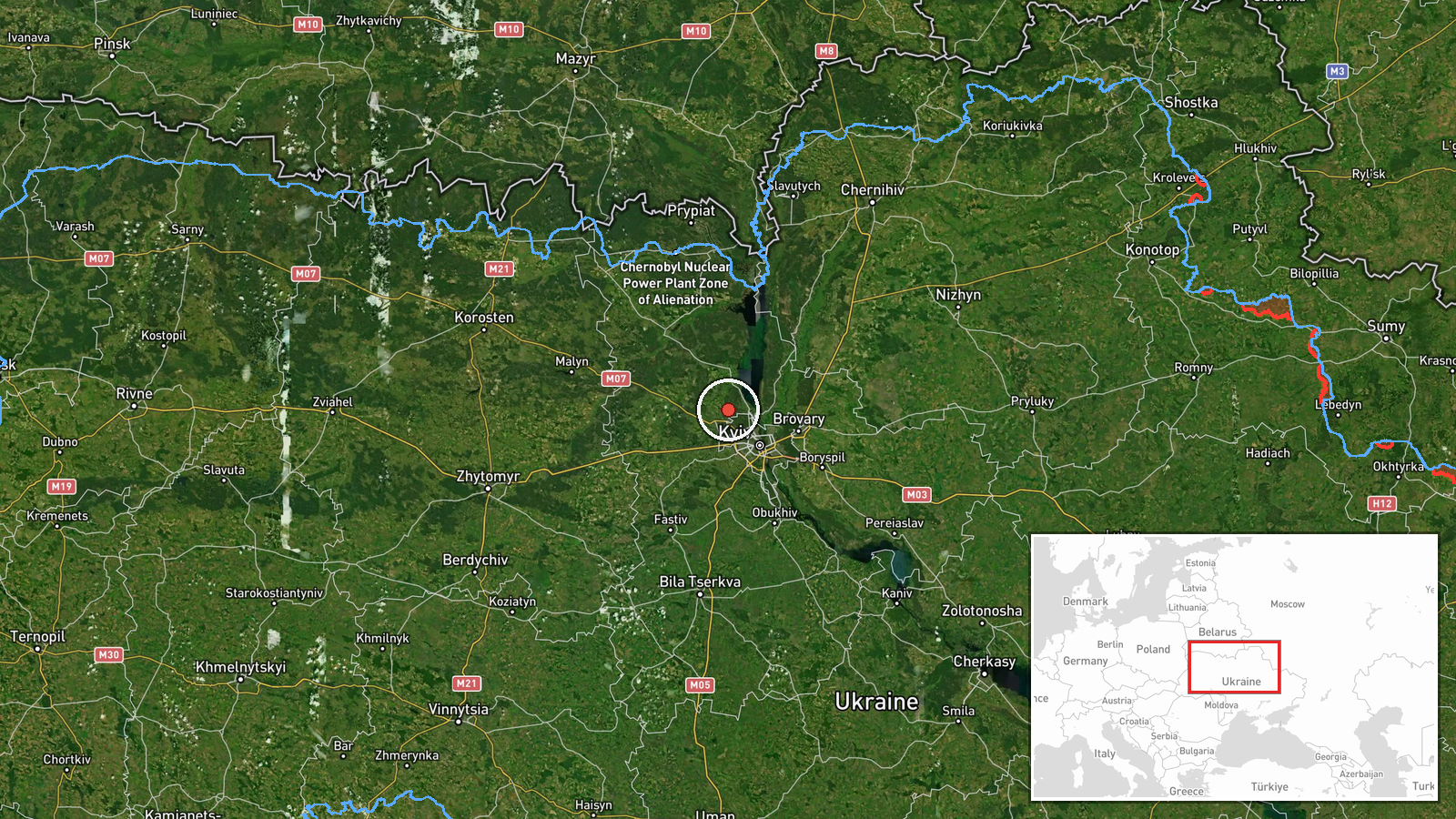
A Russian Shahed-136 reactive kamikaze drone was detected on a trajectory toward Moshchun, a settlement northwest of Kyiv in Kyiv Oblast, on 26 September at 00:17 UTC. A separate Seeker-type kamikaze drone was reported in the Kaharlyk sector. The detections were logged by Telegram channel @war_monitor as part of ongoing Russian drone operations targeting the greater Kyiv region.
Context and assessment
Moshchun lies approximately 30 kilometers northwest of central Kyiv and sits on approaches to the capital from the north. The latest reports fit a sustained pattern of Russian drone strikes against Kyiv and its surrounding oblast. On 25 September alone, massed Shahed-type attacks killed seven people and wounded 57 in the capital. Multiple drone transits were tracked over Kyiv neighborhoods the same day at varying altitudes, suggesting coordinated or sequential strike waves. The Kaharlyk sector to the southeast completes a multi-directional pressure on the Kyiv region. These operations may reflect Russian attempts to maintain attrition pressure on civilian infrastructure and military logistics in Ukraine's capital zone.
Sources and confidence
Reported by a single Telegram channel, @war_monitor, with no cross-confirmation from other open-source monitors noted in available data. The confidence score of 6.0 reflects the single-source reporting and lack of Ukrainian air defense confirmation. Confirmation by additional independent channels or official Ukrainian statements would raise confidence; lack of follow-up reporting on interception or impact would lower it.
Location
Moshchun is determined by settlement name in the original report. The town sits in northwestern Kyiv Oblast at approximately 50.60°N, 30.31°E, roughly 30 kilometers north-northwest of Kyiv city center. It lies near the Irpin River valley on traditional approaches to the capital from Russian-held territory to the northeast and north.
Related events nearby
- Russian Shahed-type reactive kamikaze drones tracked transiting over Kyiv city: one drone over Chaiky (3.6 km 2026-09-25 18:29 UTC · Drone Transit · Pushcha-Vodytsia, Kyiv, Ukraine
- Ukrainian intelligence indicates preparations for a major strike campaign using drones and missiles against Ru2026-09-25 17:53 UTC · Statement · Kyiv, Ukraine
- Russian kamikaze drone attacks on Kyiv result in 7 killed and 57 wounded. Ukrainian air defense responded to m2026-09-25 17:44 UTC · Siren · Kyiv, Ukraine
- Ukrainian President Zelensky confirms USA proposed UAE as venue for trilateral talks between USA, Russia, and 2026-09-25 09:16 UTC · Diplomacy · Kyiv, Ukraine
- Russian Shahed-136 drone struck a 16-story residential building in Pecherskyi District, Kyiv at approximately 2026-09-25 06:31 UTC · UAS Strike · Pecherskyi District, Kyiv, Ukraine
▶ View this event on the live map
Intel Mapper aggregates open-source reports from monitored Telegram and X channels, geolocates them, cross-checks duplicates across sources and assigns a confidence score. Entries are updated as new confirmations arrive. Read how we verify events.