Russian Shahed-136 drone transits toward Ternopil Oblast in western Ukraine
What happened
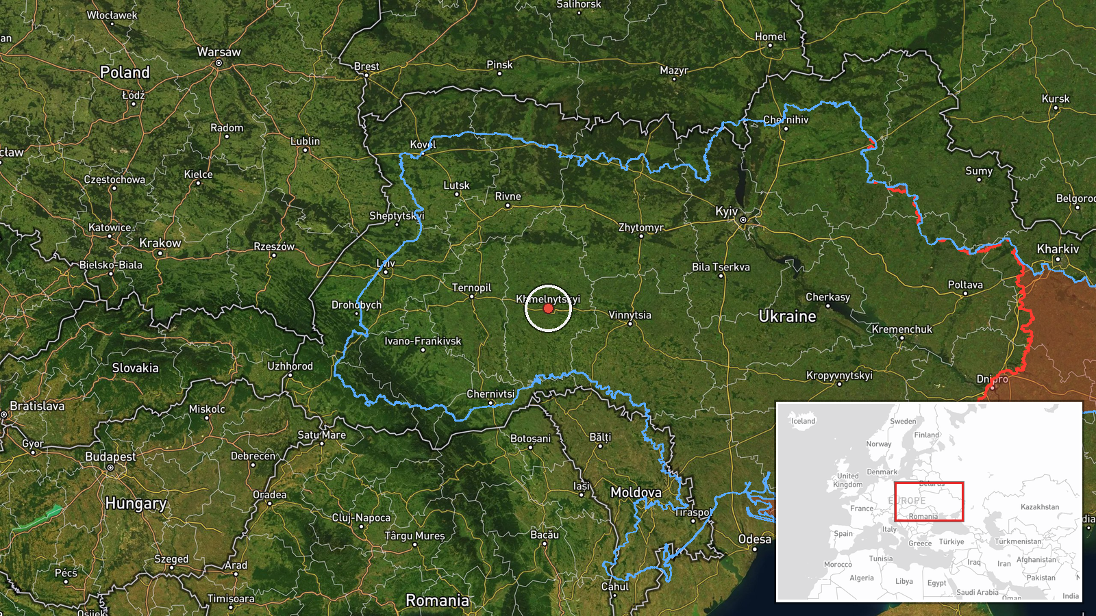
A Russian Shahed-136 jet-powered attack drone was detected in flight from Khmelnytsky Oblast into Ternopil Oblast on 29 September at 06:29 UTC, reportedly following a trajectory toward the Terebovlia and Pidhajtsi areas. The Shahed-136, a one-way attack drone with a reported range of around 2,500 kilometers, was observed during transit rather than at impact. The report originates from a Ukrainian military monitoring channel.
Context and assessment
Ternopil Oblast lies in western Ukraine, approximately 350 kilometers from the Russian border, and has been subject to recurring drone strikes throughout the conflict. The Terebovlia–Pidhajtsi area in the oblast's south contains scattered settlements and agricultural land with limited military infrastructure. Russian drone operations in this region typically aim at energy facilities, transportation nodes, or logistical targets rather than front-line positions. The westward drone corridor suggests continued Russian efforts to strike targets deep in Ukrainian territory, a pattern that has accelerated since mid-2024.
Sources and confidence
Reported by Telegram channel @war_monitor, a Ukrainian-operated military monitoring account. Single-source detection limits independent verification; no cross-confirmation from Ukrainian military statements or other monitoring channels is noted. Confidence is moderate-to-low due to single reporting and region-level geographic precision rather than pinpointed coordinates.
Location
Origin point in Khmelnytsky Oblast, western Ukraine; trajectory vector toward Ternopil Oblast to the southeast, specifically the Terebovlia and Pidhajtsi area. Ternopil Oblast borders Khmelnytsky to the east. Coordinates reflect the broader regional area rather than a precise target location.
▶ View this event on the live map
Intel Mapper aggregates open-source reports from monitored Telegram and X channels, geolocates them, cross-checks duplicates across sources and assigns a confidence score. Entries are updated as new confirmations arrive. Read how we verify events.