Ukraine detects two Russian Shahed drones heading toward Sumy Oblast
What happened
Ukrainian air monitoring systems detected two Russian Shahed-136 loitering munitions in transit toward Romny District in Sumy Oblast on the night of September 29, 2026. The drones were identified as part of a broader massed overnight attack against Ukrainian territory. Shahed-136 systems are jet-powered kamikaze drones designed to strike distant targets. The report was distributed via Ukrainian military monitoring channels tracking air activity.
Context and assessment
Sumy Oblast, located in northeastern Ukraine near the Russian border, remains a persistent target for Russian drone operations. Romny District sits approximately 80 kilometers from the Russian frontier and has historically experienced regular attacks on civilian and military infrastructure. The detection of multiple drones transiting the region reflects the pattern of sustained Russian aerial campaigns aimed at degrading Ukrainian air defense capacity and striking infrastructure across the country's northern sectors. Such operations typically occur under cover of darkness to complicate interception efforts.
Sources and confidence
The report originated from @war_monitor on Telegram, a Ukrainian military monitoring channel. Single-source reporting limits independent cross-confirmation; however, such channels have established credibility in documenting drone transits. The confidence score of 6.0 reflects the single source and absence of corroborating reports. Confirmation through additional monitoring channels or official Ukrainian military statements would strengthen confidence.
Location
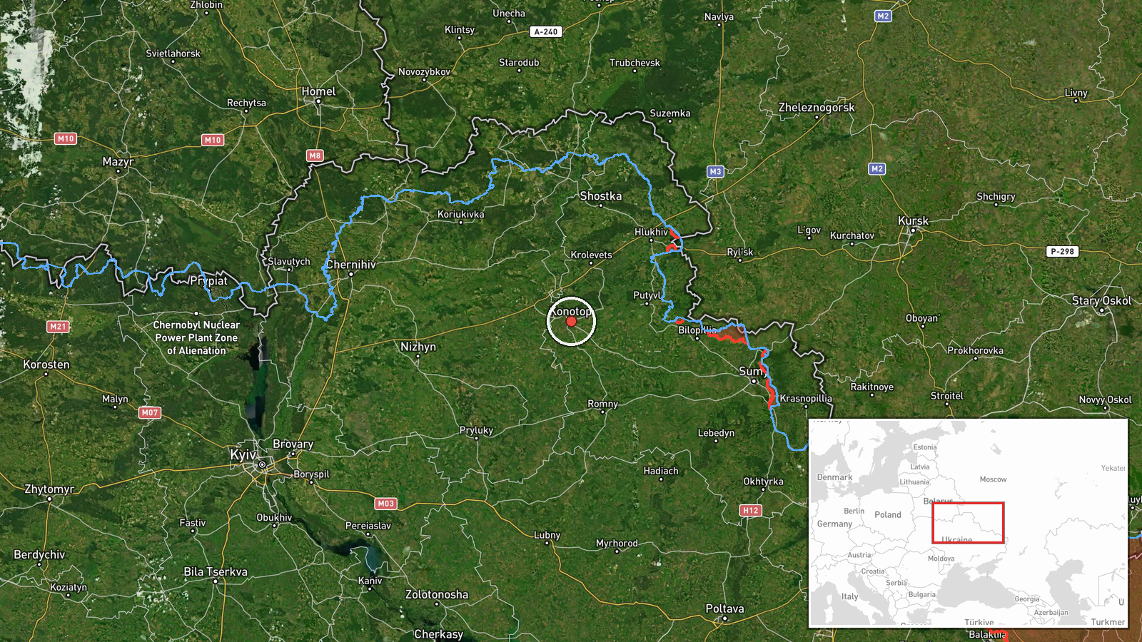
The detection zone is based on Konotop area coordinates in Sumy Oblast's northwestern sector, near the Russian border. Romny District extends eastward from this reference point toward the regional interior. The location was determined through Ukrainian air monitoring systems rather than direct ground observation, giving regional-level precision. The area lies within the typical coverage zone of Russian drone operations originating from deeper Russian territory.
Related events nearby
- Ukrainian air monitoring detected 3× Russian Shahed-136 reactive kamikaze drones transiting through Nizhyn Dis2026-09-29 09:35 UTC · Drone Transit · En route: Nizhyn, Chernihiv Oblast, Ukraine
▶ View this event on the live map
Intel Mapper aggregates open-source reports from monitored Telegram and X channels, geolocates them, cross-checks duplicates across sources and assigns a confidence score. Entries are updated as new confirmations arrive. Read how we verify events.