Russian Shahed drone transits over Kyiv's Solomianka district
What happened
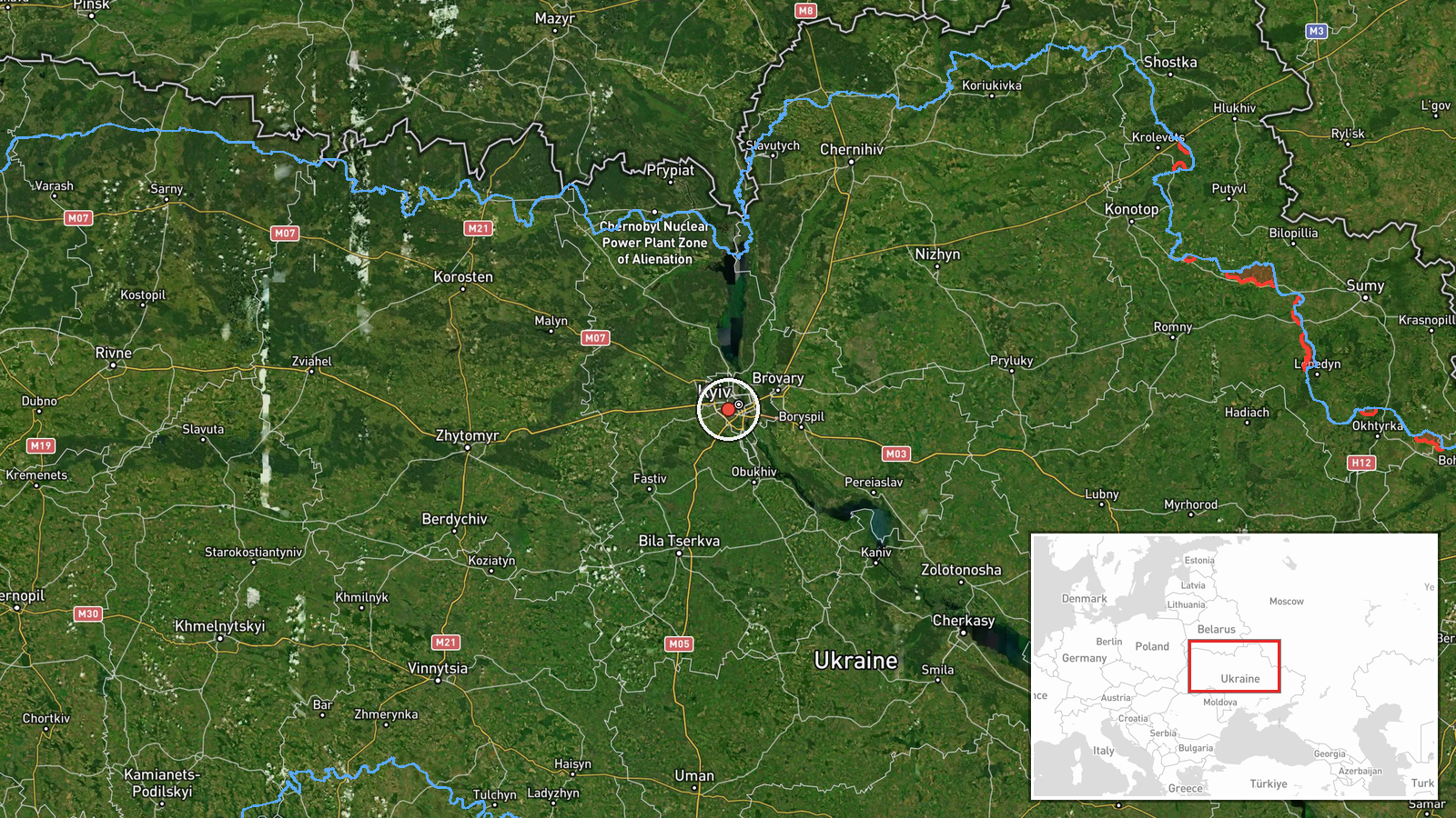
Ukrainian air monitoring detected a Russian Shahed-type kamikaze drone in transit over Solomianka, a district on Kyiv's north side, at approximately 05:59 UTC on 1 October 2026. The drone was tracked as it moved through the airspace. No immediate strike or interception was reported in this specific detection, though the drone was part of broader Russian air operations against the capital that morning and throughout the day.
Context and assessment
Solomianka lies in northwestern Kyiv, roughly 5 kilometres from the city centre. The detection occurred during a sustained Russian drone campaign against the capital, with multiple Shahed-type and Shahed-136 variants tracked transiting the same district and adjacent areas (Lukianivka, Nova Zabudova) over a six-hour span. This pattern suggests a coordinated massed drone strike aimed at Kyiv's infrastructure or military targets. Such transit detections are typical of Russian overnight and early-morning barrages, which have intensified in recent months as part of broader attritional air warfare against Ukrainian population centres and logistics nodes.
Sources and confidence
Single source: Telegram channel @war_monitor, which monitors Ukrainian official air defence alerts and reports. Confidence score of 6.0 reflects the single-source reporting and lack of independent cross-confirmation. The channel's proximity to Ukrainian air defence data lends credibility, but corroboration from additional independent monitors or official Ukrainian statements would raise confidence. Absence of detailed interception or damage reports may reflect ongoing operational security.
Location
Solomianka district, northwestern Kyiv, at approximately 50.43°N 30.45°E. Precision is settlement-level, based on Ukrainian air monitoring designations. The district lies roughly 5 kilometres northwest of Kyiv's central business district, bounded by the Dnieper River to the east and predominantly residential and light industrial areas to the west.
Related events nearby
- Russian Shahed-136 reactive (jet-engine) kamikaze drone detected in transit over Solomianka district, Kyiv, he2026-10-01 05:52 UTC · Drone Transit · Solomianka, Kyiv, Ukraine
- Russian Shahed-136 reactive (jet-engine) kamikaze drone detected in transit over Lukyyanivka sector, Kyiv. Sin2026-10-01 15:28 UTC · Drone Transit · Lukianivka, Ukraine
- Russian Shahed-type kamikaze drone detected over Nova Zabudova (Ukrainian air monitoring).2026-10-01 15:28 UTC · Drone Transit · Nova Zabudova, Ukraine
- Russian Shahed-type kamikaze drone detected transiting from Kaharlyka toward Kyiv (Ukrainian air monitoring).2026-10-01 16:55 UTC · Drone Transit · Kyiv, Ukraine
- Two Russian Shahed-136 reactive (jet-engine) kamikaze drones detected transiting from Khaharlyky toward Kyiv c2026-10-01 16:43 UTC · Drone Transit · Kyiv, Ukraine
▶ View this event on the live map
Intel Mapper aggregates open-source reports from monitored Telegram and X channels, geolocates them, cross-checks duplicates across sources and assigns a confidence score. Entries are updated as new confirmations arrive. Read how we verify events.