10+ Russian Shahed drones detected transiting toward Odesa Oblast coastal districts
What happened
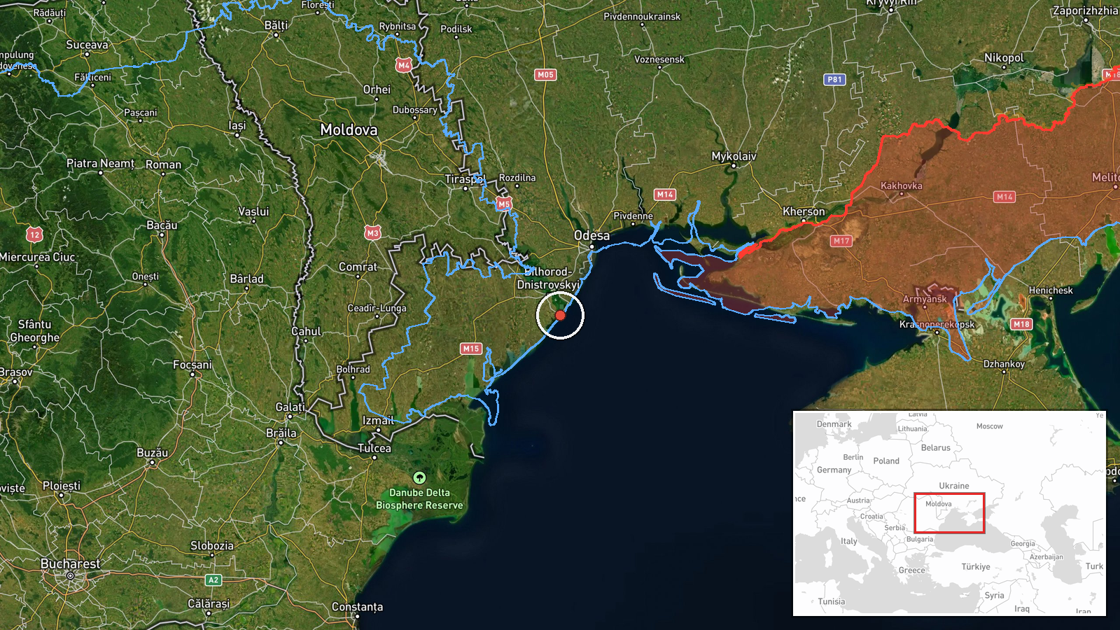
More than ten Russian Shahed-136 kamikaze drones were detected in transit over Odesa Oblast on October 1st, reportedly heading toward the Zatoka and Bilhorod-Dnistrovskyi districts in the region's south. An air raid alert was issued across the oblast. The report comes from the Telegram channel @war_monitor, which monitors Ukrainian air defense activity and drone movements.
Context and assessment
The Zatoka and Bilhorod-Dnistrovskyi areas lie along Ukraine's southwestern coast near the Dniester estuary, hosting civilian infrastructure and logistics hubs. This drone strike follows an earlier detection of a single Shahed-136 transiting over Odesa city that same morning, suggesting a sustained Russian campaign against the oblast. The sequential operations indicate either a continuation of a single air assault wave or multiple coordinated strikes. Odesa remains a priority Russian target due to its port infrastructure and military significance, making repeated drone incursions consistent with Russia's broader aerial targeting pattern.
Sources and confidence
Reported by @war_monitor on Telegram, a Ukrainian open-source monitoring channel. Single-source reporting limits independent cross-confirmation; confidence scored at 6.0 reflects the channel's typical reliability but lack of corroborating official statements. Confirmation by Ukrainian Air Force or regional administration would raise confidence; contradictory reports from Russian sources or failure of subsequent damage claims would lower it.
Location
Zatoka and Bilhorod-Dnistrovskyi are settlements and administrative districts in southwestern Odesa Oblast, approximately 50–70 km south of Odesa city along the Black Sea coast near the Dniester River mouth. The region is predominantly coastal lowland with scattered civilian population centers and critical infrastructure.
Related events nearby
- One Russian Shahed-136 reactive (jet-engine) kamikaze drone detected in transit over Odesa city. Part of ongoi2026-10-01 09:02 UTC · Drone Transit · Odesa, Odesa Oblast, Ukraine
▶ View this event on the live map
Intel Mapper aggregates open-source reports from monitored Telegram and X channels, geolocates them, cross-checks duplicates across sources and assigns a confidence score. Entries are updated as new confirmations arrive. Read how we verify events.