Russian Shahed drone detected transiting Nalyvaikivka in Kyiv Oblast
What happened
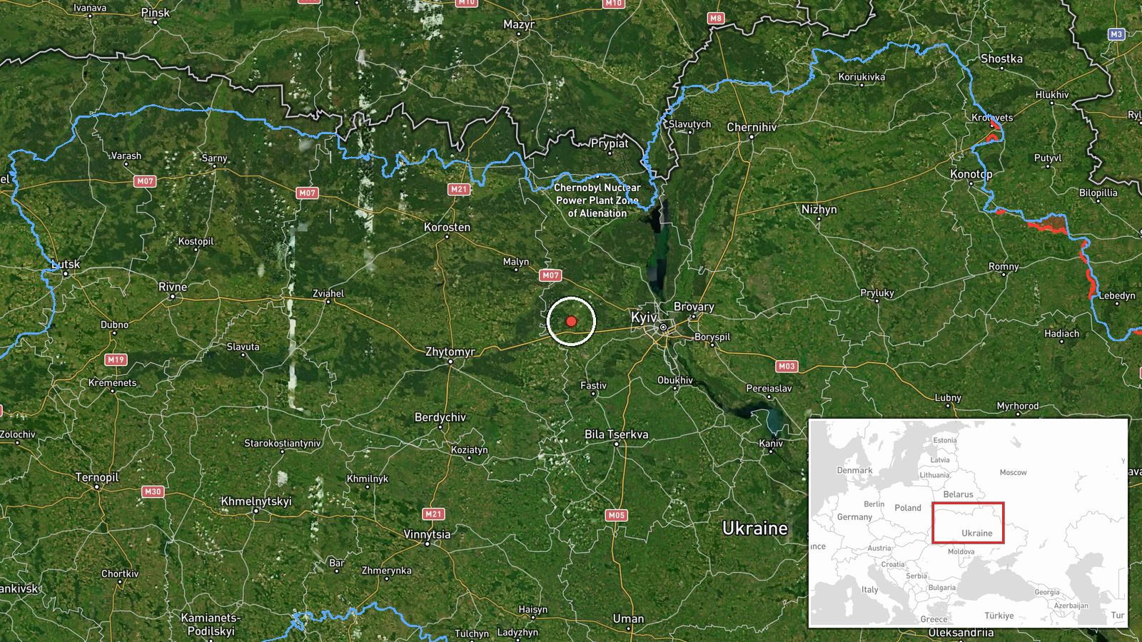
Ukrainian air monitoring reported detection of a Russian Shahed-type kamikaze drone over Nalyvaikivka, a settlement in Kyiv Oblast, on 1 October at 15:28 UTC. The report was posted to Telegram channel @war_monitor. No impact or interception was specified in the report. Nalyvaikivka lies approximately 50 kilometers northwest of central Kyiv.
Context and assessment
The detection is one of multiple Shahed transits recorded over Kyiv Oblast on 1 October, with concurrent reports from Borodianka (15:04 UTC), Borova (15:27 UTC), and Rozhivka (17:48 UTC). This pattern of drone activity suggests a coordinated Russian strike operation targeting or transiting the broader Kyiv region. Shahed drones are typically used for strikes on infrastructure or sustained attrition missions. The clustering of detections in a single day and geographic area may indicate either a direct assault on Kyiv Oblast targets or a transit corridor toward more distant objectives. Such operations have been recurring elements of Russian air strategy throughout the conflict.
Sources and confidence
Source: Telegram channel @war_monitor (Ukrainian air monitoring). Single-source report with no cited cross-confirmation. Confidence scored at 6.0 owing to reliance on one reporting channel and lack of independent verification or impact assessment. Confirmation by additional Ukrainian sources or physical evidence of drone interception would raise confidence; absence of follow-up reporting on outcomes lowers certainty.
Location
Nalyvaikivka is a settlement in Makariv Raion, Kyiv Oblast, located at approximately 50.48°N, 29.72°E. It lies in the northwestern approaches to greater Kyiv, roughly 50 km northwest of the capital and approximately 15 km southeast of the Belarusian border. The settlement sits in relatively open terrain west of the Irpin River.
Related events nearby
- Russian Shahed-type kamikaze drone detected over 🔄 Nalyvaikivka (Ukrainian air monitoring).2026-10-01 15:04 UTC · Drone Transit · Nalyvaikivka, Ukraine
- Russian Shahed-type kamikaze drone detected over Rozhivka (Ukrainian air monitoring).2026-10-01 17:48 UTC · Drone Transit · Rozhivka, Ukraine
- Russian Shahed-type kamikaze drone detected transiting from Barakhty toward Borova (Ukrainian air monitoring).2026-10-01 15:27 UTC · Drone Transit · Borova, Ukraine
- Russian Shahed-type kamikaze drone detected over Borodianka (Ukrainian air monitoring).2026-10-01 14:58 UTC · Drone Transit · Borodianka, Ukraine
- An assassination attempt was made against Fire Point commander Denis Shtilerman near Kyiv. Shtilerman sustaine2026-10-01 11:05 UTC · Security · Irpin, Kyiv Oblast, Ukraine
▶ View this event on the live map
Intel Mapper aggregates open-source reports from monitored Telegram and X channels, geolocates them, cross-checks duplicates across sources and assigns a confidence score. Entries are updated as new confirmations arrive. Read how we verify events.