Russian Shahed drone detected transiting over Vyshhorod north of Kyiv
What happened
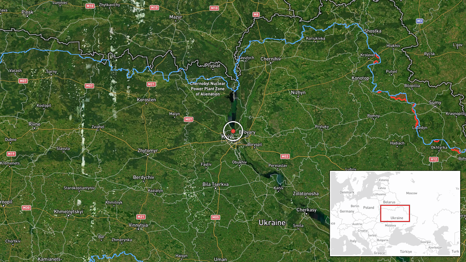
Ukrainian air monitoring channels reported a single Russian Shahed-type kamikaze drone detected over Vyshhorod on October 1 at 17:14 UTC. Vyshhorod lies approximately 30 kilometers north of central Kyiv on the Dnieper River. The report was sourced from Telegram channel @war_monitor, which tracks Ukrainian air defense alerts and drone activity in real time.
Context and assessment
Vyshhorod sits on a direct approach corridor to Kyiv from the north. On the same date, Ukrainian monitors detected multiple additional Shahed drones transiting nearby areas including Obolon, Vynohradar, Lukianivka, and central Kyiv, with two additional drones reportedly moving toward the city from Kaharlyka around 16:43 UTC. These incidents suggest a coordinated Russian drone operation targeting the Kyiv metropolitan area, consistent with the pattern of nighttime and early-evening strikes against Ukrainian civilian and military infrastructure in the capital region.
Sources and confidence
Single source: Telegram channel @war_monitor, a Ukrainian open-source air monitoring account. No cross-confirmation from independent channels or official Ukrainian air force statements noted in the data. Confidence score of 6.0 reflects the reliability of the source channel but limited corroboration. Confirmation by official Kyiv city administration or multiple independent monitors would strengthen confidence.
Location
Vyshhorod settlement, Kyiv Oblast, located on the right (east) bank of the Dnieper River approximately 30 kilometers north-northeast of Kyiv city center (50.58°N, 30.49°E). The town serves as a northern approach vector to the capital. Precision determined by settlement-level identification.
Related events nearby
- Russian Shahed-type kamikaze drone detected transiting from Pohreby toward Obolon (Ukrainian air monitoring).2026-10-01 17:49 UTC · Drone Transit · Obolon, Ukraine
- Russian Shahed-type kamikaze drone detected over Vynohradar (Ukrainian air monitoring).2026-10-01 15:28 UTC · Drone Transit · Vynohradar, Ukraine
- Russian Shahed-136 reactive (jet-engine) kamikaze drone detected in transit over Lukyyanivka sector, Kyiv. Sin2026-10-01 15:28 UTC · Drone Transit · Lukianivka, Ukraine
- Russian Shahed-type kamikaze drone detected transiting from Kaharlyka toward Kyiv (Ukrainian air monitoring).2026-10-01 16:55 UTC · Drone Transit · Kyiv, Ukraine
- Two Russian Shahed-136 reactive (jet-engine) kamikaze drones detected transiting from Khaharlyky toward Kyiv c2026-10-01 16:43 UTC · Drone Transit · Kyiv, Ukraine
▶ View this event on the live map
Intel Mapper aggregates open-source reports from monitored Telegram and X channels, geolocates them, cross-checks duplicates across sources and assigns a confidence score. Entries are updated as new confirmations arrive. Read how we verify events.