Russian tactical aircraft positioned over Crimea for suspected missile and guided bomb strikes
What happened
Russian tactical aviation aircraft reportedly moved to firing positions over Crimea on October 3, according to the Telegram channel War Monitor. The positioning suggests preparation for launches of guided air-to-surface missiles or guided aerial bombs. Ukrainian officials assessed the threat as directed toward Odesa and Mykolaiv oblasts in southern Ukraine. The report does not specify aircraft types, numbers, or whether strikes were subsequently conducted.
Context and assessment
Odesa and Mykolaiv oblasts, situated along Ukraine's Black Sea coastline and southern border, have remained frequent targets of Russian air operations throughout the conflict. These regions contain critical port infrastructure, logistics hubs, and military positions vital to Ukraine's defense and economy. The positioning of tactical aircraft at firing lines over Crimea—which Russia controls—is consistent with the established pattern of standoff strikes against southern Ukrainian targets. Such operations typically precede actual missile or bomb launches by minutes to hours, though not all such positionings result in immediate attacks. Recent months have seen sustained Russian air activity directed at these southern zones.
Sources and confidence
The report originates from War Monitor, a Telegram channel monitoring the conflict. Single-source reporting with no immediate cross-confirmation from other channels or Ukrainian official statements reduces confidence. The confidence score of 6.0 reflects plausible operational reporting but limited verification. Confirmation by additional independent sources or Ukrainian air defense acknowledgment would strengthen reliability; absence of follow-up strike reports would suggest the threat did not materialize.
Location
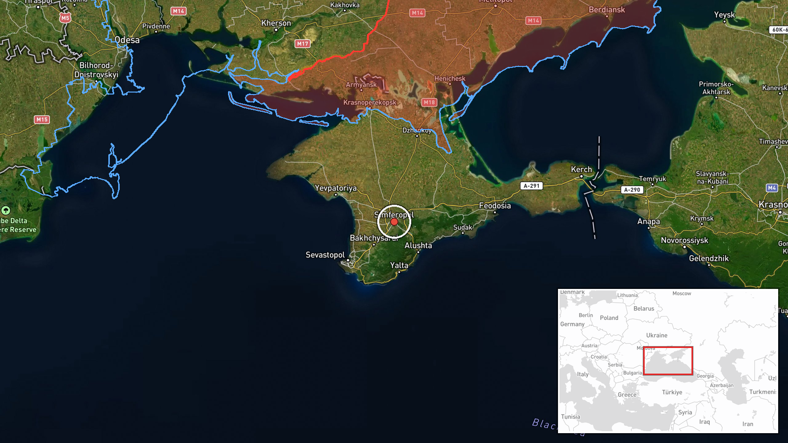
Crimea, the peninsula annexed by Russia in 2014, serves as Russia's primary aviation hub for operations against southern Ukraine. The positioning coordinates (approximately 44.95°N, 34.10°E) indicate the central Crimean region. Aircraft launching from Crimean bases can reach Odesa and Mykolaiv oblasts, roughly 200–250 kilometers northward across the Black Sea and coastal areas.
▶ View this event on the live map
Intel Mapper aggregates open-source reports from monitored Telegram and X channels, geolocates them, cross-checks duplicates across sources and assigns a confidence score. Entries are updated as new confirmations arrive. Read how we verify events.