Two Russian cruise missiles tracked toward Konotop in Sumy Oblast
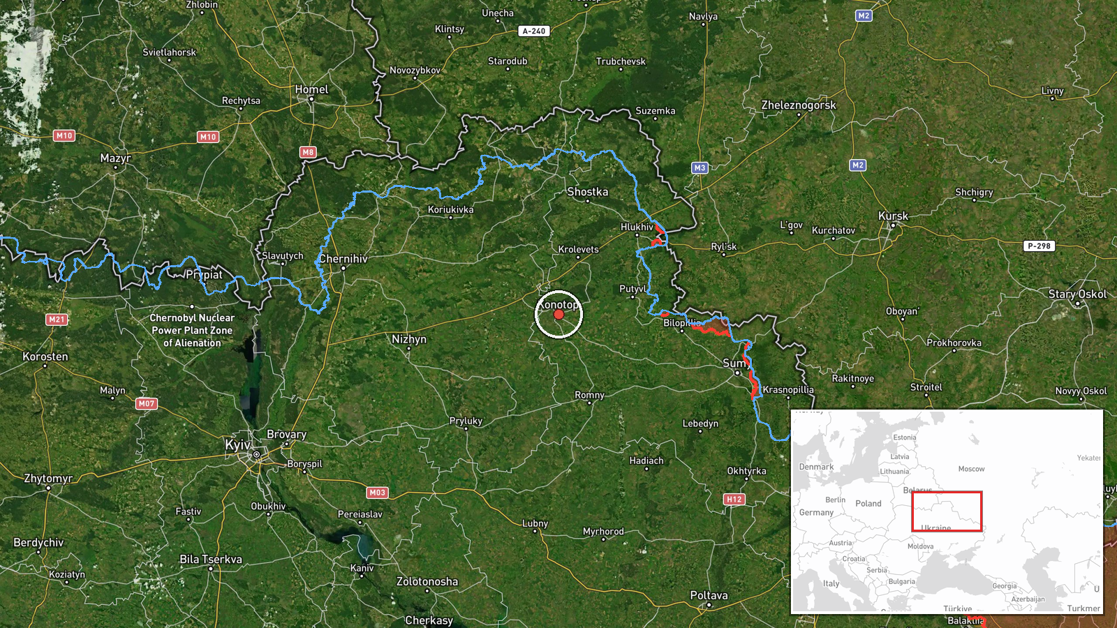
What happened
Two Russian subsonic cruise missiles, reportedly Kh-47/UMPC-5 'Banderol' variants, were detected en route to Konotop in Sumy Oblast on October 3 at 06:51 UTC. The detection was reported by Telegram channel @war_monitor. Konotop is a major city in northeastern Ukraine approximately 90 kilometers south of the Russian border. The missiles were part of a broader massed cruise missile strike campaign detected across multiple Ukrainian regions that morning.
Context and assessment
Konotop serves as a significant logistics and transportation hub in Sumy Oblast, making it a recurring target in Russian strikes. The detection of these missiles occurs within a pattern of sustained Russian cruise missile operations against Ukrainian regional infrastructure, as evidenced by simultaneous detections of similar Kh-47 variants heading toward Nizhyn in Chernihiv Oblast during the same strike window. These subsonic missiles typically target fixed infrastructure including energy facilities, military installations, or transport networks. The employment of multiple missiles across disparate targets suggests a coordinated campaign rather than a single tactical strike, consistent with Russia's documented strategy of degrading Ukrainian civilian and military infrastructure through attrition.
Sources and confidence
Reported solely by Telegram channel @war_monitor. No cross-confirmation from additional independent sources noted in available data. Confidence rating of 6.0 reflects single-source reporting of a detected air threat; would increase substantially with corroborating reports from Ukrainian air defense statements or multiple independent channels, or decrease if impact assessment contradicts detection claims.
Location
Konotop is determined at regional precision level in Sumy Oblast, northeastern Ukraine, approximately 90 kilometers from the Russian border. The city sits on major transportation routes connecting northern and central Ukraine. Geographic coordinates place it within a logistics-critical zone repeatedly targeted during the conflict.
Related events nearby
- Four Russian subsonic cruise missiles (Kh-47/UMPC-5 'Banderol' variants) detected en route toward Nizhyn, Cher2026-10-03 06:56 UTC · Cruise Missile · Nizhyn, Chernihiv Oblast, Ukraine
▶ View this event on the live map
Intel Mapper aggregates open-source reports from monitored Telegram and X channels, geolocates them, cross-checks duplicates across sources and assigns a confidence score. Entries are updated as new confirmations arrive. Read how we verify events.