Russian Shahed drone in terminal descent over Kyiv residential area
What happened
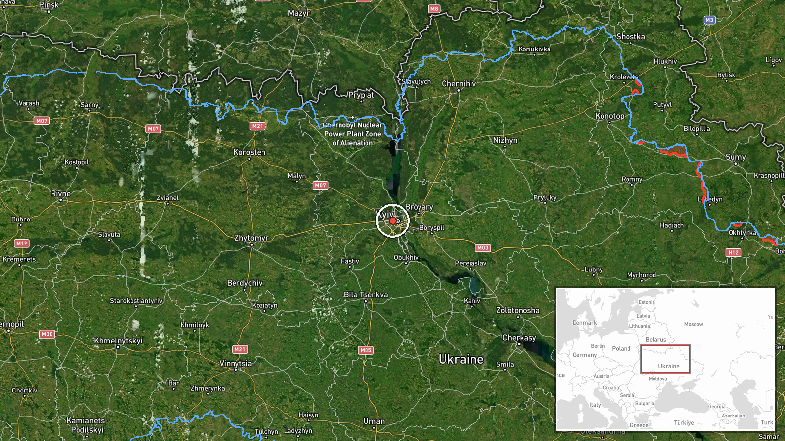
Ukrainian air monitoring reported one Russian Shahed-type drone in terminal descent over Shuliavka, a residential neighborhood in northwestern Kyiv, on the morning of October 8, 2026. The report came from Telegram monitoring channel @war_monitor at 09:21 UTC. A civil defense alert for Kyiv and Kyiv Oblast was issued minutes later at 09:24 UTC, activating air raid sirens across the capital region.
Context and assessment
The attack occurs amid a sustained Russian drone campaign against Kyiv. Earlier that morning, another Shahed drone (reported as a Geran-3 variant) was detected heading toward the capital. The previous day, October 7, Russian forces flew a Geran-4 drone carrying a painted portrait of Vladimir Putin over Kyiv, signaling continued psychological operations alongside kinetic strikes. This pattern of repeated drone penetration reflects Russia's strategy of attrition against Ukrainian air defenses and civilian infrastructure in the capital, despite NATO's recent military committee meeting in Kyiv on October 6 reaffirming alliance support.
Sources and confidence
Single source report via Telegram channel @war_monitor, a widely monitored Ukrainian air-spotting account. The rapid issuance of a civil defense alert two minutes after the drone report suggests corroboration by official Ukrainian monitoring systems. Confidence is moderate (6.0/10) due to reliance on one initial channel; confirmation through additional Ukrainian defense ministry sources or damage reports would strengthen assessment.
Location
Shuliavka is a residential neighborhood in northwestern Kyiv, located approximately 8 km northwest of the city center. The settlement sits in the upper Dnieper River valley and is part of greater Kyiv's suburban sprawl. High location confidence is based on direct naming in the Ukrainian air-monitoring report.
Related events nearby
- Ukrainian air monitoring: 1 Russian Shahed-type drone in terminal descent over Shuliavka, Kyiv.2026-10-08 09:22 UTC · Drone Transit · Shuliavka, Kyiv, Ukraine
- Ukrainian air monitoring: 1 Russian Shahed-type drone in terminal descent over Voleykiv.2026-10-08 10:09 UTC · Drone Transit · Voleykiv, Ukraine
- Ukrainian civil defense alert issued for Kyiv and Kyiv Oblast region. Air raid siren warning in effect.2026-10-08 09:24 UTC · Siren · Kyiv, Ukraine
- Ukrainian air monitoring: 1 Russian jet-powered Shahed (Geran-3) drone heading toward Kyiv.2026-10-08 06:15 UTC · Drone Transit · Kyiv, Ukraine
- NATO Military Committee held first meeting in Ukraine in 8 years on October 6. All 32 member nations' military2026-10-07 18:09 UTC · Diplomacy · NATO HQ, Brussels, Belgium
▶ View this event on the live map
Intel Mapper aggregates open-source reports from monitored Telegram and X channels, geolocates them, cross-checks duplicates across sources and assigns a confidence score. Entries are updated as new confirmations arrive. Read how we verify events.