Russian Shahed drones tracked over Kyiv region settlements
What happened
Ukrainian air monitoring systems reported detecting two Russian Shahed-type drones in transit over Kyiv Oblast on 9 October at 09:16 UTC. One drone was tracked over Chabany, a settlement northwest of Kyiv; a second was reported over Vasylkiv, located south of the capital. The report comes from official Ukrainian air defence monitoring channels and does not specify intercepts or impacts at this time.
Context and assessment
Chabany and Vasylkiv are both situated within Kyiv's wider metropolitan region and lie along typical Russian drone approach corridors toward the capital. This latest sighting is part of sustained Shahed operations over Kyiv Oblast documented throughout 9 October, with multiple transits recorded over Chabany, Dymer, Sofiivska Borshchahivka, and Svyatopetrivske earlier the same day. Recent reports suggest some drones in these waves were targeting energy infrastructure. The pattern indicates Russia continues employing Shahed-type platforms in multi-vector penetration attempts toward Kyiv, possibly coordinating with other strike assets to test air defences.
Sources and confidence
Report sourced from Telegram channel @war_monitor, a Ukrainian air defence monitoring account. Single-source reporting limits independent verification; confidence rated 6.0 reflecting Ukrainian official monitoring status but absence of cross-confirmation from other channels. Confirmation by Ukrainian air defence commands, secondary international sources, or adversarial reporting would strengthen confidence.
Location
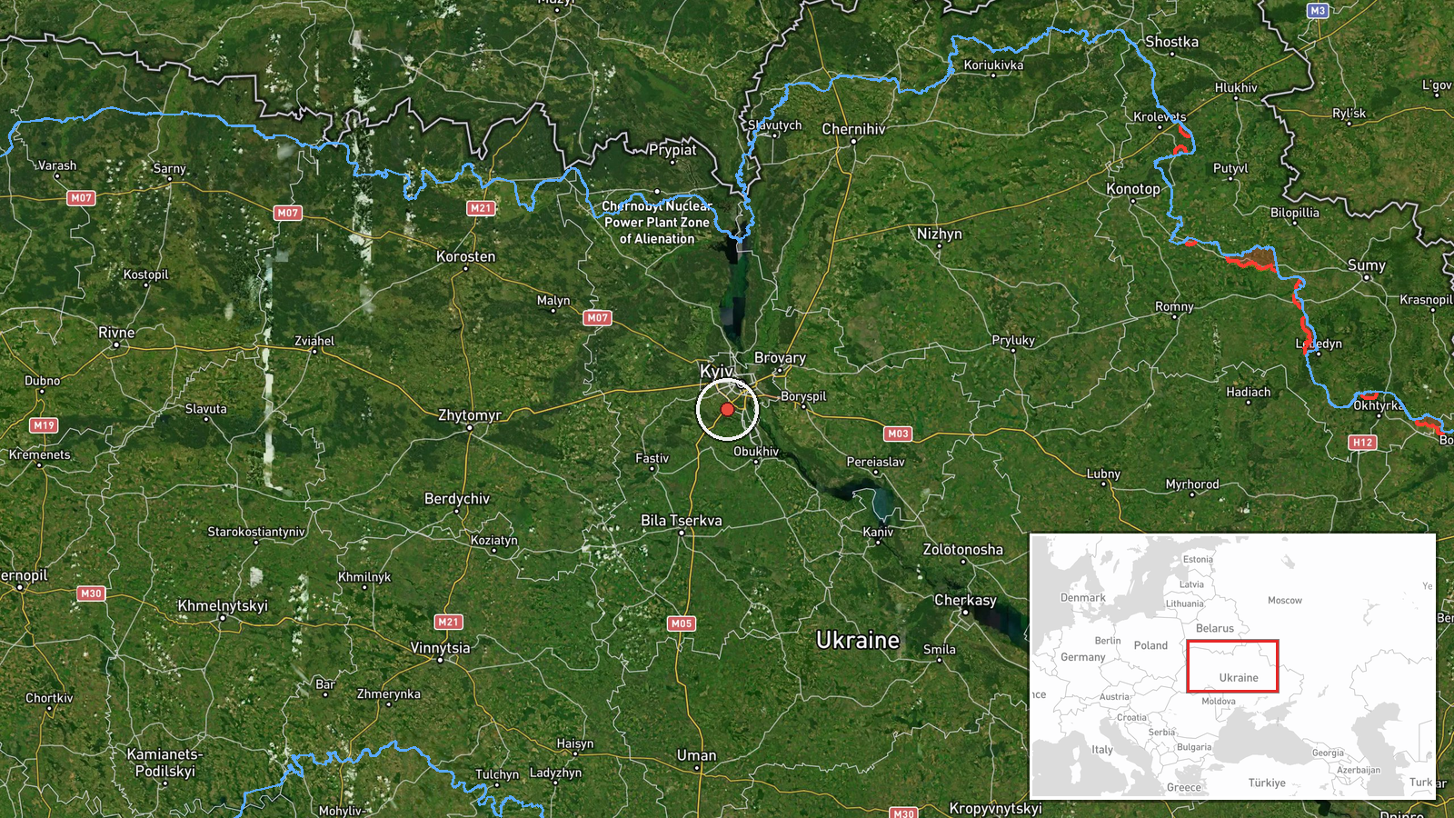
Chabany is a settlement in northwestern Kyiv Oblast, approximately 40 km northwest of central Kyiv (50.34°N, 30.43°E). Vasylkiv is located roughly 50 km south-southwest of Kyiv. Both settlements sit in Kyiv Oblast's suburban and semi-rural belt, with no major military installations noted in immediate vicinity. Precision: settlement-level identification from Ukrainian monitoring sources.
Related events nearby
- Ukrainian air monitoring: 1 Russian jet-powered Shahed (Geran-3) drone over Chabany; 1 Russian jet-powered Sha2026-10-09 03:52 UTC · Drone Transit · Chabany, Ukraine
- Ukrainian air monitoring: 1 Russian Shahed-type drone over Sofiivska Borshchahivka.2026-10-08 14:18 UTC · Drone Transit · Sofiivska Borshchahivka, Ukraine
- Ukrainian air monitoring reports Russian Shahed-type drone over Svyatopetrivske targeting energy infrastructur2026-10-09 06:05 UTC · Drone Transit · Svyatopetrivske, Kyiv Oblast, Ukraine
- Ukrainian air monitoring: 1 Russian Shahed-type drone over Svyatopetrivske; 1 Russian Shahed-type drone over D2026-10-09 03:54 UTC · Drone Transit · Svyatopetrivske, Ukraine
- Ukrainian air monitoring: 1 Russian Shahed-type drone in terminal descent over Svyatopetrivske.2026-10-08 14:22 UTC · Drone Transit · Svyatopetrivske, Ukraine
▶ View this event on the live map

Intel Mapper aggregates open-source reports from monitored Telegram and X channels, geolocates them, cross-checks duplicates across sources and assigns a confidence score. Entries are updated as new confirmations arrive. Read how we verify events.