PDF claims FPV drone strikes on Burmese Army vehicles in Magway Region, Myanmar
What happened
A post on the Telegram channel @war_noir, which was also shared on X, claims that People's Defense Forces struck Burmese Army vehicles in Magway Region, Myanmar, using first-person-view (FPV) drones. The post says the group used at least two FPV kamikaze drones carrying improvised explosive devices and/or MR-2 HEAT rounds. The report is timestamped 17 October 2026 at 06:45 UTC. It names no specific settlement, gives no precise time of impact, and reports no casualty or damage figures. The source wording is a claim by the group's side, relayed by a single channel, and no other outlet in the available data describes the attack.
Context and assessment
Magway Region lies in the central dry zone of Myanmar along the Irrawaddy River, an area with oil and gas fields and sustained resistance activity since the 2021 military takeover. Its value to both sides lies in energy infrastructure, road corridors and towns linking the central plains to other fronts. A related event logged the same day places local resistance forces pressuring a junta force at Taw Kyi village in Pauk Township, near oil wells on the Pauk-Mying border, which suggests armed activity was occurring at several points in the region at once, though those details are unverified. A separate report from Laymyethna in Mandalay Region, relayed by DVB, describes three displaced people arrested on accusations of PDF membership, showing the security pressure that accompanies armed resistance across the wider area. Operationally, FPV drones are inexpensive, can be built from commercial airframes, and let small resistance cells strike vehicles at range with low signature. A claim of this kind therefore fits a pattern of mobile, low-cost harassment rather than sustained assault. Whether it reflects a deliberate campaign or a single incident cannot be judged from one post.
Sources and confidence
The claim rests on one Telegram channel, @war_noir, which also posted it to X. No second outlet, video, or imagery in the event data corroborates the strike, so cross-confirmation is single-source. The confidence score of 6.7 reflects that single origin, the lack of a location below region level, and the absence of casualty or damage detail that would allow checking. It would rise if local media, military statements, or geolocated footage confirmed vehicles were hit at a specific place and time. It would fall if the channel's earlier posts proved unreliable or if no matching incident turned up in reporting.
Location
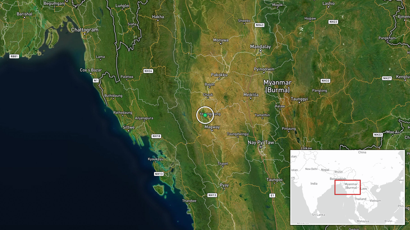
The location is recorded only at region level, Magway Region, so the coordinates (20.5 N, 94.75 E) are an approximate centroid rather than a specific settlement or facility. Magway sits in central Myanmar on the Irrawaddy River, in a low, dry zone with oil fields and scattered towns. The Pauk Township reference comes from a separate related event and is not confirmed as the attack site.
Related events nearby
- Local resistance defence forces are pressuring a junta force stationed at Taw Kyi village near oil wells on th2026-10-17 13:46 UTC · Combat · Taw Kyi village, Pauk Township, Magway Region, Mya
- Three war-displaced people were arrested in Laymyethna on accusations of being PDF members, per DVB report.2026-10-17 08:33 UTC · Police Operation · Laymyethna, Mandalay Region, Myanmar
▶ View this event on the live map

Intel Mapper aggregates open-source reports from monitored Telegram and X channels, geolocates them, cross-checks duplicates across sources and assigns a confidence score. Entries are updated as new confirmations arrive. Read how we verify events.