Houthi forces expand territorial control in Al Hudaydah Governorate
What happened
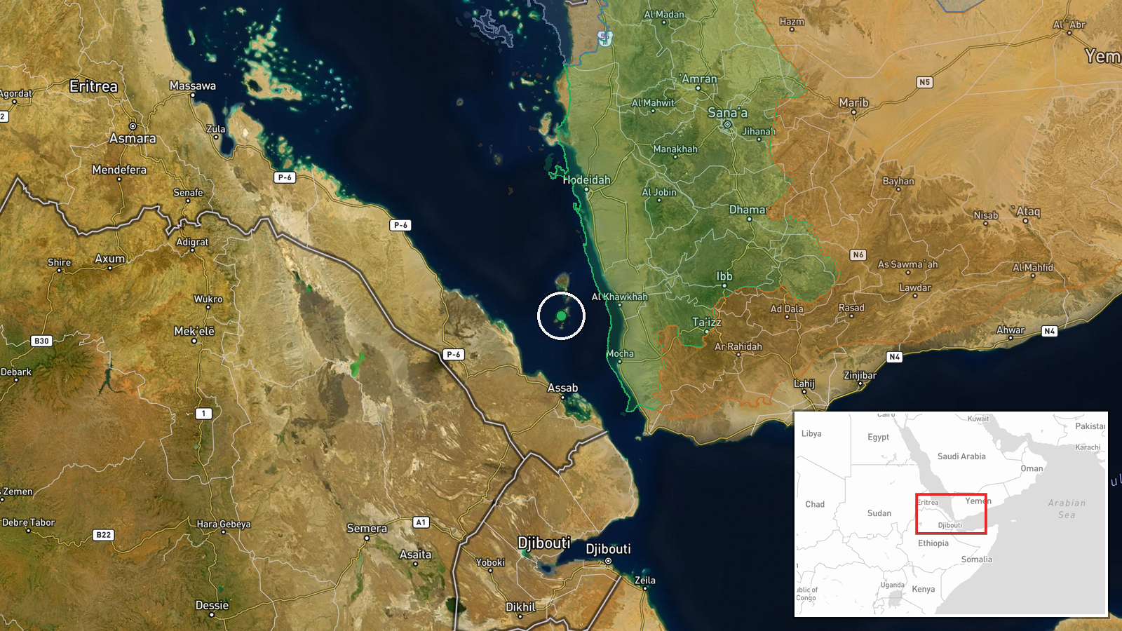
Houthi (Ansar Allah) forces reportedly expanded their territorial control by approximately 67 square kilometres in the Al Hudaydah Governorate area, according to updated conflict control mapping dated 15 September 2026. The expansion represents a significant consolidation of Houthi-held territory in this western Yemeni region. A concurrent expansion of roughly 15 square kilometres was also reported along the broader Yemen front during the same period.
Context and assessment
Al Hudaydah Governorate, which includes the strategic port city of Hodeidah, has been a focal point of Yemen's multi-sided conflict due to its economic and military significance. Houthi control of this region provides access to vital trade routes and revenue sources, particularly the port facility. Recent territorial gains, if sustained, suggest the Houthis are consolidating positions rather than attempting major offensive operations elsewhere. This pattern of incremental expansion may reflect either reduced pressure from opposing forces or a deliberate strategy to entrench existing holdings. The scale of reported gains warrants monitoring to determine whether this represents a temporary tactical adjustment or a more sustained shift in the military balance.
Sources and confidence
The report originates from a Wiki-based conflict control map updated on 15 September 2026. With a single source and moderate confidence score of 7.5, corroboration from independent monitoring organisations or field reports would strengthen confidence. The confidence reflects reliance on mapping data without supporting intelligence from multiple channels. Cross-confirmation from satellite imagery analysis or additional open-source conflict tracking platforms would raise confidence.
Location
Al Hudaydah Governorate is located in northwestern Yemen on the Red Sea coast, centred approximately at 13.71°N, 42.73°E. The region encompasses the contested port city of Hodeidah and surrounding districts. Geographic precision is regional rather than pinpointed to specific settlements, reflecting the scale of mapped territorial shifts. The governorate's coastal position and proximity to major shipping lanes underscore its strategic value.
Related events nearby
- Western European military assessments conclude Saudi-backed forces in Yemen are struggling to halt Houthi adva2026-09-15 18:40 UTC · Statement · Mokha, Taiz Governorate, Yemen
▶ View this event on the live map
Intel Mapper aggregates open-source reports from monitored Telegram and X channels, geolocates them, cross-checks duplicates across sources and assigns a confidence score. Entries are updated as new confirmations arrive. Read how we verify events.