Houthis expand territorial control in Ta'izz Governorate by approximately 72 sq km
What happened
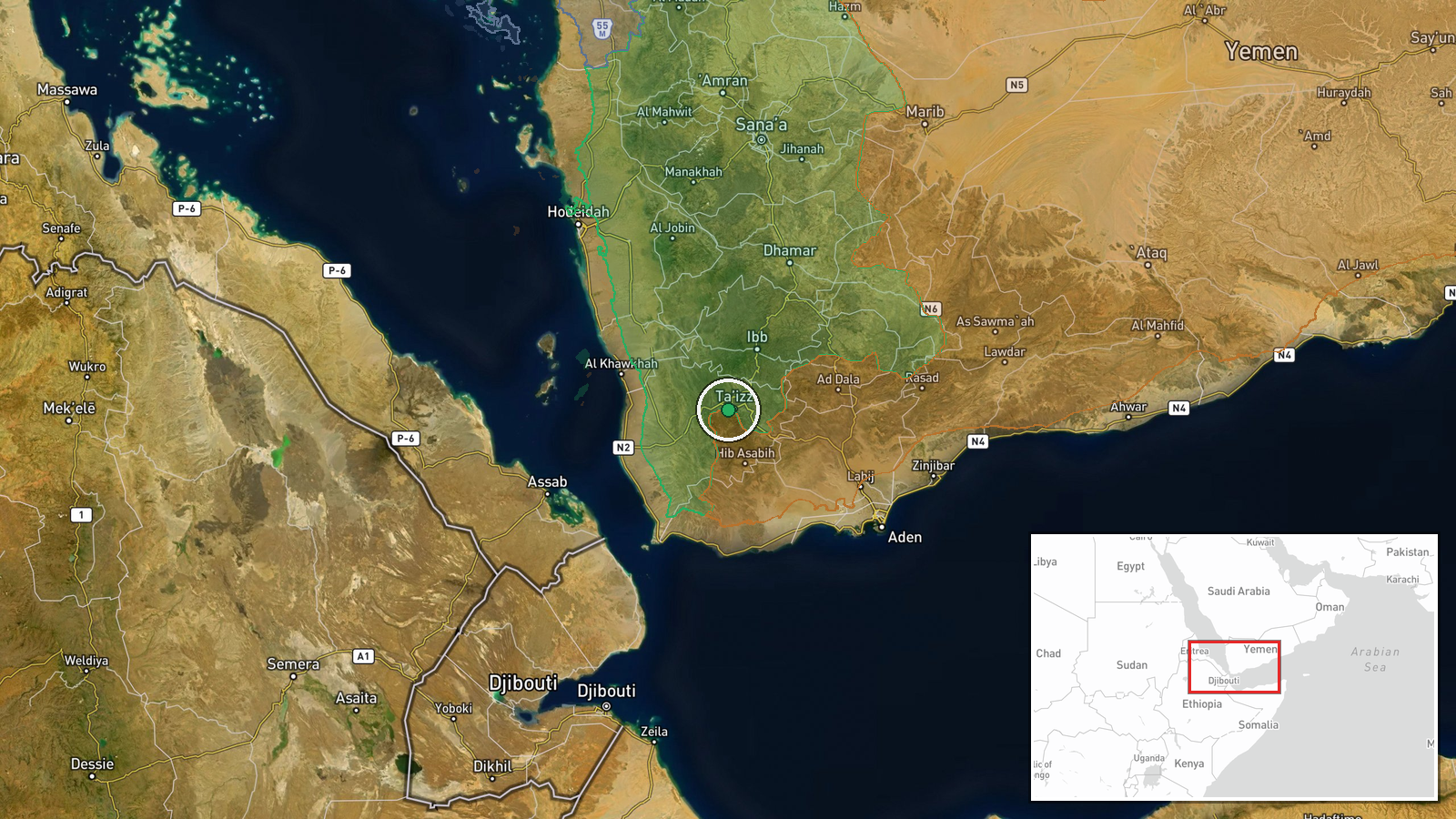
According to an updated conflict control map, Houthi forces (Ansar Allah) have expanded their territorial control in the Ta'izz Governorate by roughly 72 square kilometers as of 29 September 2026. The report does not specify the precise locations within the governorate where this expansion occurred, the timeframe over which the gains were made, or the military operations that produced them. The update appears in a conflict mapping resource that tracks territorial changes across Yemen.
Context and assessment
Ta'izz Governorate, located in southwestern Yemen, has been a focal point of the broader Yemeni conflict since 2014, with control disputed between Houthi forces and Saudi-led coalition-backed government forces. Territorial shifts in this region often reflect localized combat intensity or shifts in frontline positions. The reported 72 sq km expansion, if sustained, would represent a significant change in the military balance in this contested area. Such gains typically result from sustained offensive operations, tactical advances, or agreed withdrawals by opposing forces. The scale of reported expansion warrants confirmation through additional sources to establish whether this represents an active military campaign, gradual encroachment, or map corrections.
Sources and confidence
Reported by Wiki control map, a crowdsourced conflict mapping platform. The single-source status and lack of corroborating reports from established news agencies or military observers means this event carries moderate confidence. Confirmation from independent conflict monitors, satellite imagery analysis, or reports from actors on the ground would substantially increase confidence. Clarification of the specific areas gained and timeline would also strengthen the assessment.
Location
Ta'izz Governorate in southwestern Yemen (coordinates 13.57°N, 43.98°E indicate the governorate center). The governorate comprises multiple districts and settlements; the report does not pinpoint specific localities of control change. Ta'izz city itself remains a contested urban center in the region.
▶ View this event on the live map
Intel Mapper aggregates open-source reports from monitored Telegram and X channels, geolocates them, cross-checks duplicates across sources and assigns a confidence score. Entries are updated as new confirmations arrive. Read how we verify events.