Yemen Government Forces Expand Control in Lahij Governorate
What happened
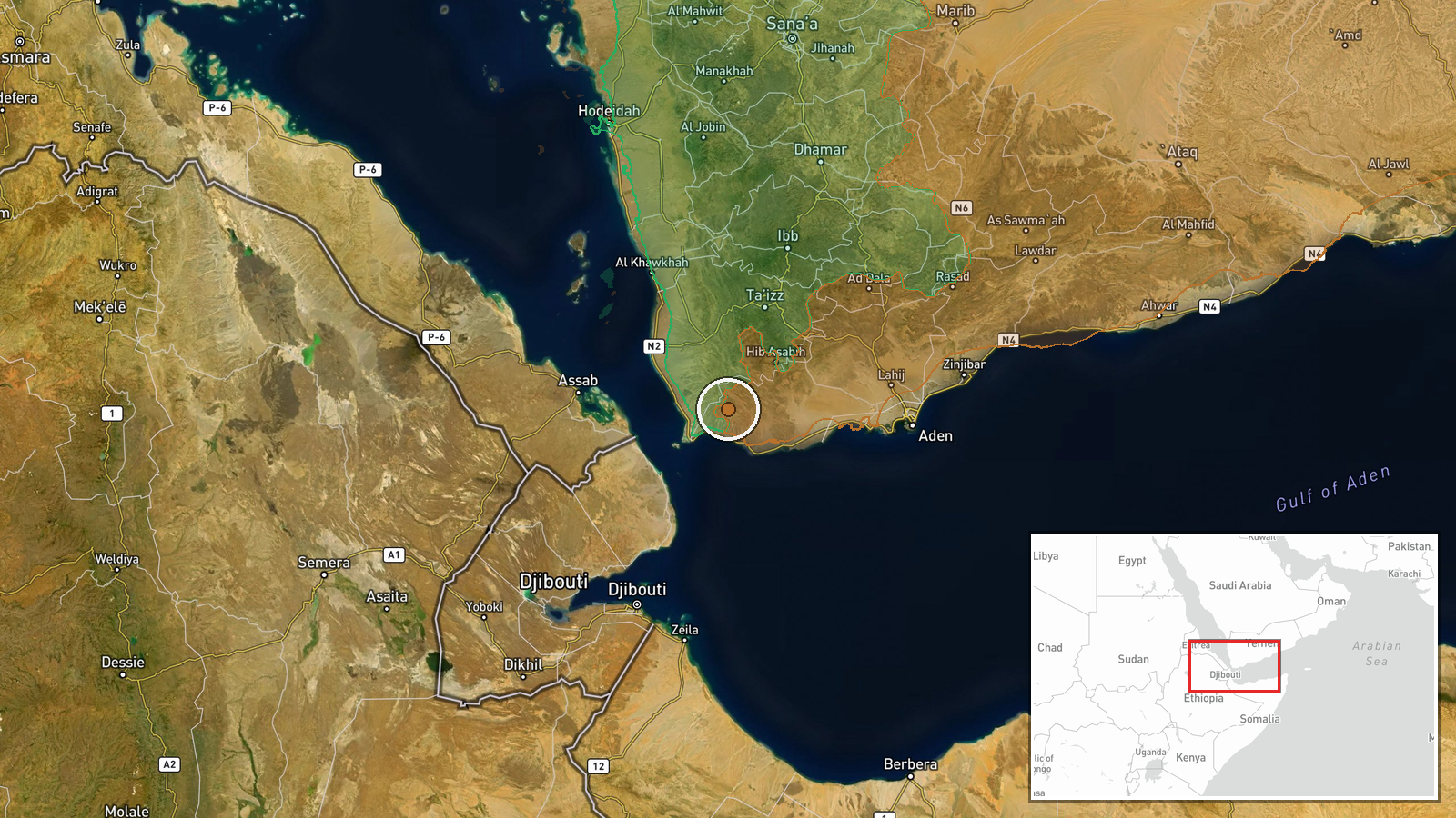
According to updated Wiki control map data, Yemen Government (PLC) forces expanded territorial control by approximately 400 square kilometres in the Lahij Governorate area as of 3 October 2026. The expansion represents a significant shift in the regional balance of control, though specific details of military operations driving this advance were not provided in the available reporting.
Context and assessment
Lahij Governorate, located in southern Yemen between Aden and Ibb, has been contested territory throughout Yemen's conflict. Control of this region carries strategic importance due to its position along routes connecting the coast to the interior highlands and its role in securing access to population centres. The expansion by the Presidential Leadership Council (PLC)-aligned government forces suggests either successful offensive operations or consolidation of previously disputed areas. Such gains in the south, if sustained, could indicate shifting momentum in government-held territory and potentially affect the broader balance of power in Yemen's fragmented conflict.
Sources and confidence
Single source: Wiki control map, which compiles conflict control data from multiple channels. Confidence score of 7.5 reflects reliance on a single mapping source without cross-confirmation from direct combat reports or independent sources. Score could be raised through corroboration by news outlets or military statements; would be lowered if contradicted by other mapping projects.
Location
Lahij Governorate, south-central Yemen, approximately 100 kilometres inland from the Gulf of Aden. The governorate sits between Aden to the south and Ibb to the north. Precision is regional rather than specific to individual settlements or facilities.
▶ View this event on the live map
Intel Mapper aggregates open-source reports from monitored Telegram and X channels, geolocates them, cross-checks duplicates across sources and assigns a confidence score. Entries are updated as new confirmations arrive. Read how we verify events.