U.S. airstrikes reported on Iran's southern coast near Strait of Hormuz
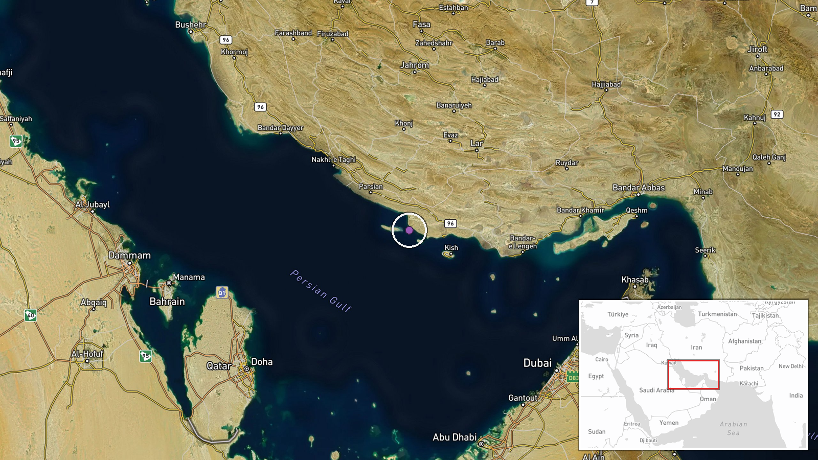
What happened
U.S. military aircraft reportedly struck multiple targets along Iran's southern coastline in the Strait of Hormuz region on September 1, according to an Iranian Revolutionary Guard Corps (IRGC) statement shared via social media. The IRGC claimed the strikes hit both civilian settlements and military positions. The statement characterized the attacks as imprecise strikes conducted without clear targeting intelligence, though it provided no independent verification of damage or casualties.
Context and assessment
The Strait of Hormuz, through which roughly one-fifth of global oil passes, has been a focal point of U.S.–Iran tensions for decades. The southern Iranian coast hosts critical military and energy infrastructure, including naval bases and oil terminals. This reported strike follows an escalating pattern of military exchanges in the region over preceding days. Such operations typically aim to degrade Iran's naval and air capabilities or demonstrate resolve, though the IRGC's emphasis on civilian impact suggests a propaganda dimension. The characterization of strikes as 'desperate' may indicate Iranian perception of widening military pressure.
Sources and confidence
Report sourced to @ConflictTR on X (formerly Twitter), citing an IRGC statement. Single-source reporting with no corroborating U.S. military confirmation or independent verification of targets struck. The confidence score of 6.0 reflects the unverified nature of claims. Confirmation from U.S. officials, satellite imagery, or neutral observers would substantially strengthen assessment.
Location
Southern Iranian coastline along the Strait of Hormuz, approximate regional coordinates (26.8°N, 53.5°E). This area encompasses major ports and naval facilities including Bandar Abbas, Chabahar, and Qeshm Island. Geographic precision is regional rather than specific facility-level. The Strait forms the eastern boundary of the Persian Gulf.
Related events nearby
- U.S. airstrikes reported on multiple civilian and military targets along Iran's southern coasts. IRGC claims s2026-09-01 16:20 UTC · Ballistic Missile · Southern Iranian Coast (Qeshm, Chabahar, Bandar Ab
▶ View this event on the live map
Intel Mapper aggregates open-source reports from monitored Telegram and X channels, geolocates them, cross-checks duplicates across sources and assigns a confidence score. Entries are updated as new confirmations arrive. Read how we verify events.