U.S. CENTCOM reports redirection of 86 vessels in Iran blockade enforcement
What happened
U.S. Central Command reported on September 2 that American forces enforcing a blockade in the Persian Gulf have redirected 86 commercial vessels, disabled 3 vessels, and boarded 2 as part of maritime interdiction operations against Iranian shipping. The statement was released via CENTCOM's official communications channel, providing cumulative figures as of that date without specifying the timeframe over which these actions occurred.
Context and assessment
The reported vessel interdictions occur amid an escalating pattern of U.S. naval operations in the Strait of Hormuz and Persian Gulf on September 2. Earlier that morning, U.S. military forces reportedly struck two Iranian government tankers under a stated 'tanker for tanker' deterrence policy, alongside approximately 100 other Iranian targets including air defense systems. Iranian forces earlier claimed two oil tankers struck mines in the strait. These maritime enforcement actions and interdictions represent a significant intensification of U.S. pressure on Iranian maritime commerce, a historically sensitive flashpoint given the strait's critical role in global oil transit and regional security dynamics.
Sources and confidence
Source is a single X post citing CENTCOM statement (@Osint613). No independent cross-confirmation of the specific vessel figures is evident from other reporting channels on September 2. Confidence score of 6.0 reflects direct attribution to official U.S. command statement but limited corroboration. Score would increase with independent maritime tracking confirmation or additional U.S. military statements.
Location
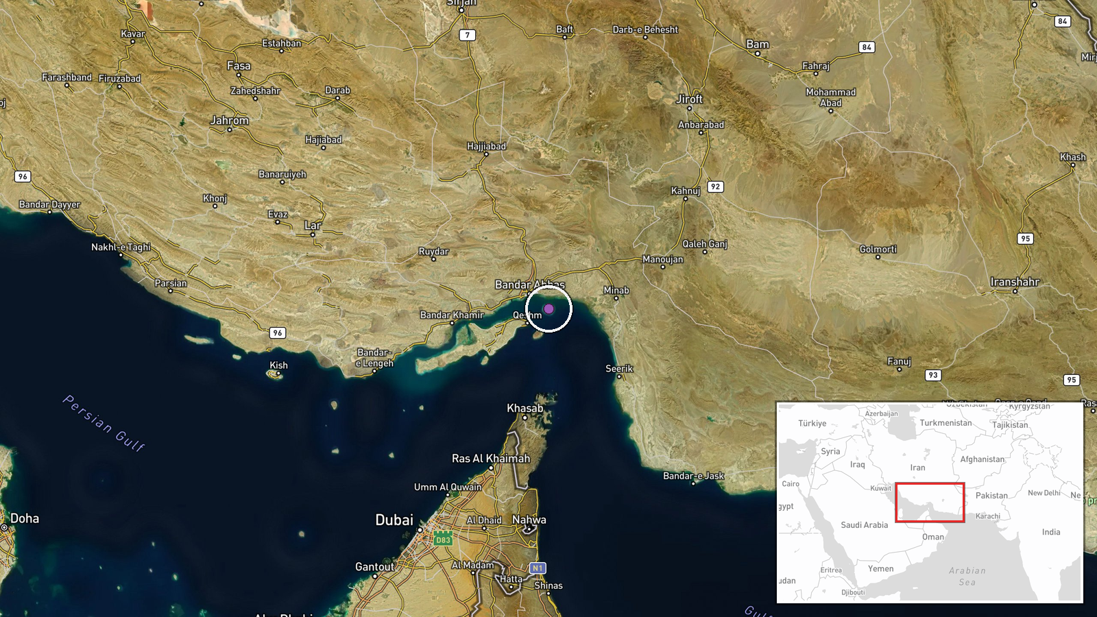
The Strait of Hormuz and Persian Gulf region, determined at regional precision level. The strait connects the Persian Gulf to the Gulf of Oman and Arabian Sea, serving as the world's most critical petroleum transit chokepoint. Operations span the international waters and exclusive economic zones of this strategically vital waterway.
Related events nearby
- US President Trump claims control of Strait of Hormuz and announces destruction of 28 ships in naval operation2026-09-02 15:23 UTC · Statement · Strait of Hormuz, Persian Gulf
- UKMTO reported two casualties in a tanker security incident in the Strait of Hormuz. Saudi Arabia confirmed tw2026-09-02 11:40 UTC · Naval · Strait of Hormuz, Persian Gulf
- IRGC claims two oil tankers attempting unauthorized passage near Strait of Hormuz struck mines and caught fire2026-09-02 08:16 UTC · Naval · Strait of Hormuz, Persian Gulf
- U.S. military struck two Iranian government tankers under new 'tanker for tanker' deterrence policy. Roughly 12026-09-02 04:46 UTC · Naval · Strait of Hormuz, Persian Gulf
- U.S. airstrike struck a wedding ceremony in Kuhestak, Hormozgan Province, killing 4 people including a child a2026-09-02 04:26 UTC · Airstrike · Kuhestak, Hormozgan Province, Iran
▶ View this event on the live map
Intel Mapper aggregates open-source reports from monitored Telegram and X channels, geolocates them, cross-checks duplicates across sources and assigns a confidence score. Entries are updated as new confirmations arrive. Read how we verify events.