Turkish military deploys portable bridge in Deir ez-Zor region, satellite imagery shows
What happened
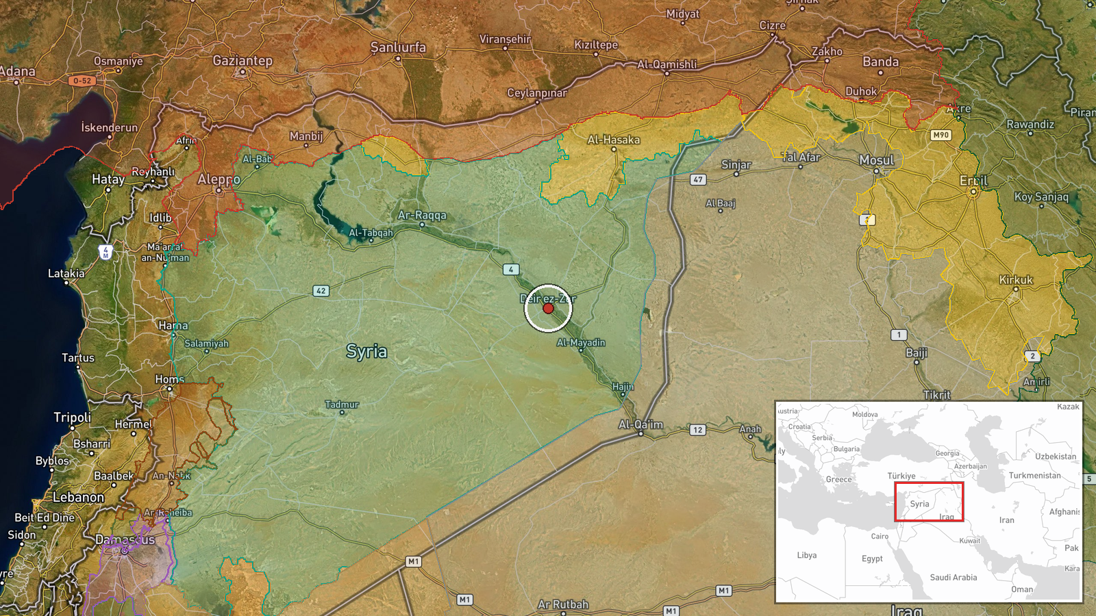
The Turkish military has established a portable or floating bridge structure in the Deir ez-Zor region of eastern Syria, according to satellite imagery released on September 6. The deployment was documented and shared via X by the account @ConflictTR. The exact operational purpose and timeline of the bridge installation remain unclear from the available reporting. The location corresponds to Deir ez-Zor city and its immediate surroundings in the governorate of the same name.
Context and assessment
Deir ez-Zor lies in Syria's eastern territory along the Euphrates River and borders Iraq. The region has long been contested, with Turkish military operations there typically focused on counter-insurgency against Kurdish groups and ISIS remnants. Bridge infrastructure in this area could facilitate military logistics, troop movement, or humanitarian access across the Euphrates. The deployment follows a Syrian Interior Ministry security operation in nearby Al-Zur village on September 5, suggesting heightened security activity in the governorate. However, the bridge installation itself may represent routine engineering work or reflect broader Turkish military posturing in eastern Syria rather than an imminent tactical shift.
Sources and confidence
Reported by a single source: X account @ConflictTR, which monitors Turkish military activity. The account released accompanying satellite imagery, though independent cross-confirmation of the bridge's purpose and operational status is not noted. The confidence score of 6.0 reflects the single-source reporting and satellite imagery documentation. Confirmation from additional monitoring channels, Turkish military statements, or Syrian sources would strengthen confidence.
Location
Deir ez-Zor city and surrounding region in Deir ez-Zor Governorate, eastern Syria, coordinates 35.33°N, 40.15°E. The city sits on the Euphrates River in an area approximately 450 kilometers southeast of Damascus. The region borders Iraq to the east and forms part of eastern Syria's contested terrain.
Related events nearby
- Video circulating shows rising water levels in the Euphrates River in Deir ez-Zor. Natural hydrological phenom2026-09-06 21:54 UTC · Security · Deir ez-Zor, Deir ez-Zor Governorate, Syria
- Arabic-language post references 19th anniversary of alleged Israeli 2007 airstrike ('Operation Orchard') targe2026-09-06 15:21 UTC · Statement · Syria
- First day of new school year at Walid Nofal School in Al-Hasakah's Al-Lailiya district. Classroom footage show2026-09-06 10:27 UTC · Humanitarian Aid · Al-Hasakah, Hasakah Governorate, Syria
▶ View this event on the live map
Intel Mapper aggregates open-source reports from monitored Telegram and X channels, geolocates them, cross-checks duplicates across sources and assigns a confidence score. Entries are updated as new confirmations arrive. Read how we verify events.