Iran declares parts of Strait of Hormuz, Persian Gulf as restricted zones
What happened
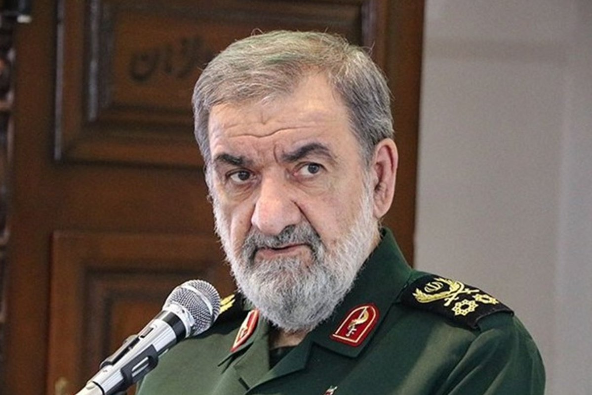
Mohsen Rezaei, Iran's Security Council Secretary, announced that portions of the Strait of Hormuz and Persian Gulf will be designated as restricted zones, with vessels entering these areas subject to sanctions. The declaration was made on September 7, 2026. The statement represents an escalation of Iranian maritime policy in a region already tense following recent military operations. Rezaei's announcement came through official Iranian channels and was reported via social media.
Context and assessment
The Strait of Hormuz remains one of the world's most strategically vital waterways, with roughly one-fifth of global oil transit passing through it annually. Iran's declaration of restricted zones represents an attempt to assert control over maritime access during heightened regional tensions. This announcement follows a reported U.S. Navy missile strike on September 6 targeting a communications complex in Kuhestak, Hormozgan Province, in southern Iran near the Persian Gulf coast. The timing suggests Iran may be responding to recent military pressure by leveraging its geographic position as a chokepoint for international shipping. Such declarations, if enforced, could disrupt global energy markets and international commerce, though the practical implementation and international response remain uncertain.
Sources and confidence
The announcement was reported by @ConflictTR on X (formerly Twitter) on September 7, 2026. The report relies on a single source channel, limiting cross-confirmation. The confidence score of 6.0 reflects the direct attribution to an Iranian official but the lack of independent verification from multiple channels. Confidence would increase with corroborating reports from Iranian state media or international news agencies; it would decrease if Rezaei clarified or retracted the statement.
Location
The Strait of Hormuz and Persian Gulf represent broad maritime regions rather than precise geographic points. The Strait of Hormuz connects the Persian Gulf to the Gulf of Oman and Arabian Sea. Coordinates provided (26.63°N, 56.37°E) fall within the central Persian Gulf region. The announcement's lack of specificity regarding which particular zones are restricted—whether choke points, territorial waters, or shipping lanes—leaves actual enforcement geography ambiguous.
Related events nearby
- Iran announced a planned restricted zone near the Strait of Hormuz, marking a continued escalation of maritime2026-09-07 08:40 UTC · Statement · Tehran, Iran
- Iran's Security Council Secretary Mohsen Rezaei vowed retaliation for a US strike, signaling escalatory respon2026-09-07 08:40 UTC · Statement · Tehran, Iran
▶ View this event on the live map
Intel Mapper aggregates open-source reports from monitored Telegram and X channels, geolocates them, cross-checks duplicates across sources and assigns a confidence score. Entries are updated as new confirmations arrive. Read how we verify events.