Satellite imagery confirms fires at Jazan refinery after Houthi ballistic missile strike
What happened
Satellite imagery dated September 8 shows at least three oil storage tanks burning at the Jazan refinery in southwestern Saudi Arabia, reportedly following a Houthi ballistic missile attack on the facility. The strike represents a direct hit on critical petroleum infrastructure in the kingdom's energy sector. The imagery provides visual confirmation of the attack's material impact on the refinery's operations.
Context and assessment
The Jazan refinery is one of Saudi Arabia's major petroleum processing facilities, located near the country's southwestern coast close to the Yemeni border. Houthi attacks on Saudi oil infrastructure have occurred periodically as part of the broader conflict dynamics in the region, targeting economic and strategic assets. Such strikes on refineries are significant because they disrupt domestic fuel production and exports, affecting both regional energy markets and Saudi economic interests. The confirmed destruction of multiple storage tanks indicates a successful strike penetration of the facility's defenses, suggesting either gaps in air defense coverage or the weapon's technical effectiveness against the target.
Sources and confidence
Report sourced from X (@Osint613) based on satellite imagery analysis. Single-source confirmation with visual evidence raises reliability, though the account's analytical track record would strengthen confidence. Cross-confirmation from additional OSINT accounts, Saudi official statements, or secondary imagery sources would increase confidence score. Current moderate confidence reflects limited source diversity rather than image authenticity concerns.
Location
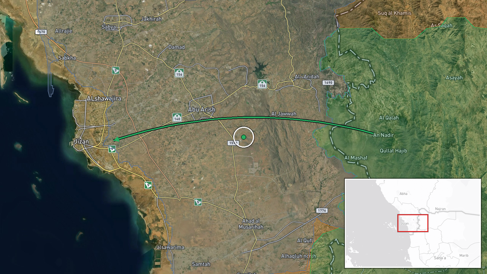
Jazan refinery located in Jazan city, southwestern Saudi Arabia, approximately 950 kilometers south of Riyadh near the Red Sea coast and Saudi-Yemen border region. Settlement-level precision based on known refinery coordinates. The facility sits in an industrialized zone serving as critical national petroleum processing infrastructure.
▶ View this event on the live map
Intel Mapper aggregates open-source reports from monitored Telegram and X channels, geolocates them, cross-checks duplicates across sources and assigns a confidence score. Entries are updated as new confirmations arrive. Read how we verify events.