Fuel price protests reported across Syrian cities including Deir ez-Zor
What happened
Demonstrations reportedly erupted in multiple Syrian cities, including Deir ez-Zor, in response to increased fuel prices. According to a report from a conflict monitoring account on X, the Aleppo-Damascus highway was blocked during the unrest. The protests reflect broader discontent with government economic management. The report was posted on 13 September 2026 and attributed to Syrian sources, though specific protest scale or duration details were not provided.
Context and assessment
Syria's economy has deteriorated significantly since the conflict's onset, with currency collapse, fuel shortages, and inflation creating severe hardship for civilians. Deir ez-Zor, a northeastern province historically dependent on oil production, has been particularly affected by fuel scarcity despite its resource base. Road blockages, especially on the critical Aleppo-Damascus corridor, indicate disruptions to commercial movement and potential coordination across cities. Such economic grievances periodically surface as public demonstrations but typically face suppression. The timing and geographic spread suggest friction between government policy and public tolerance, though the durability and political implications of these particular protests remain unclear.
Sources and confidence
Single source: X account @ConflictTR, a Turkish conflict monitoring channel. No cross-confirmation from independent news outlets or humanitarian organizations noted. Confidence score of 6.0 reflects single-source reporting without corroborating verification. Independent reporting from Syria-based journalists or NGOs would strengthen confidence; absence of follow-up or broader media coverage could indicate limited scale or containment.
Location
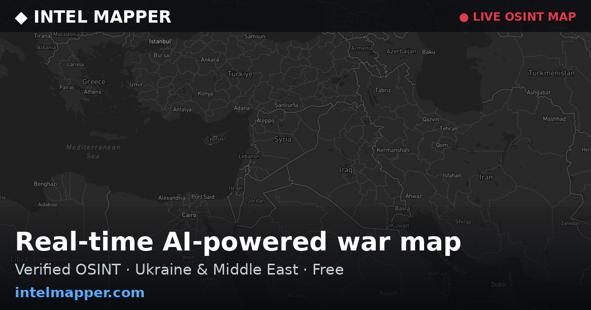
Deir ez-Zor city, northeastern Syria, located at approximately 35.33°N, 40.15°E. The province is situated along the Euphrates River in a semi-arid region historically dependent on oil production. The mentioned Aleppo-Damascus highway runs west from Deir ez-Zor toward central Syria, a critical north-south economic corridor.
▶ View this event on the live map
Intel Mapper aggregates open-source reports from monitored Telegram and X channels, geolocates them, cross-checks duplicates across sources and assigns a confidence score. Entries are updated as new confirmations arrive. Read how we verify events.