Russian drone reportedly crashes near Wunstorf Air Base in Lower Saxony
What happened
A unmanned aerial vehicle, reportedly of Russian Shahed-variant design, crashed in the vicinity of Wunstorf Air Base in Lower Saxony, Germany on 15 September 2026. German authorities initiated an investigation into the incident. The report was first published by German media outlet BILD and circulated via social media. No details on the drone's trajectory, interception, or damage were provided in the initial report.
Context and assessment
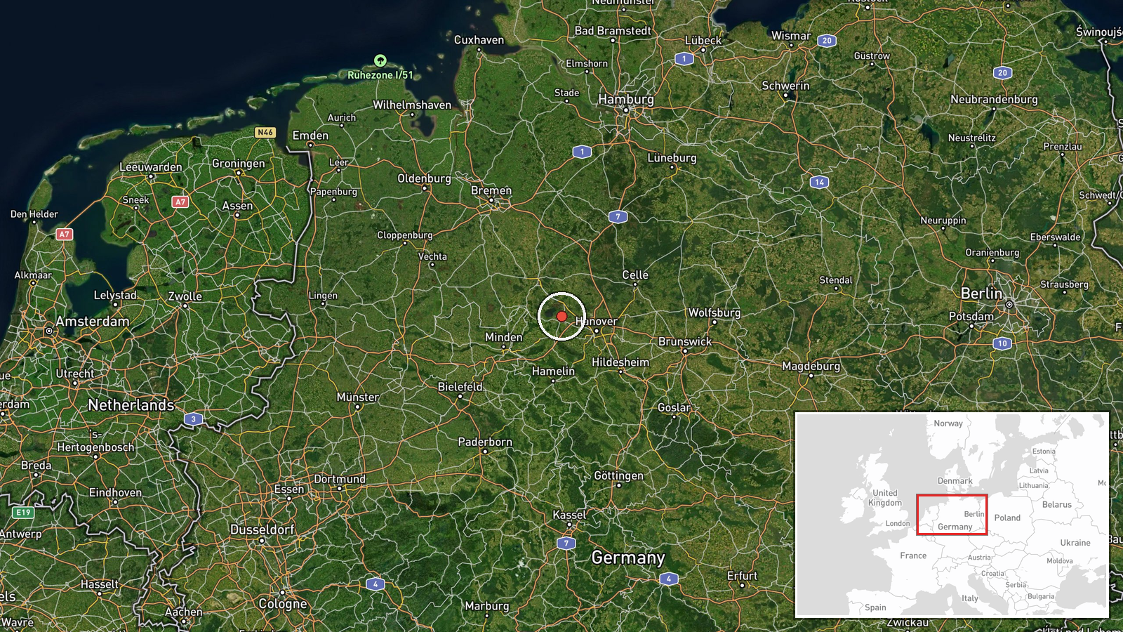
Wunstorf Air Base is a major Luftwaffe installation hosting transport and reconnaissance aircraft, located approximately 25 kilometres north of Hanover. Drone incidents over German territory have increased as Russia has expanded long-range strike operations across Europe, often targeting energy infrastructure and military facilities. Such incidents raise questions about engagement rules, air defence effectiveness, and whether drones are deliberately launched toward NATO airspace or represent navigation loss. The crash location suggests either a degraded or off-course trajectory during transit across central Europe.
Sources and confidence
Report sourced from X account @ConflictTR citing German media outlet BILD. Single-source reporting with no cross-confirmation from NATO, German defence ministry, or independent verification channels. Confidence score of 6.0 reflects plausible drone activity patterns but lacks corroborating official statements. Confirmation from German authorities or NATO would substantially increase confidence.
Location
Wunstorf Air Base, Lower Saxony, Germany, located approximately 25 km north of Hanover in northern Germany. Geo-precision set to settlement level based on known facility location. The region is part of northwestern Germany, in the heart of NATO territory, roughly 1,200 km west of the Ukraine–Russia border.
▶ View this event on the live map
Intel Mapper aggregates open-source reports from monitored Telegram and X channels, geolocates them, cross-checks duplicates across sources and assigns a confidence score. Entries are updated as new confirmations arrive. Read how we verify events.