Turkish Navy to conduct multi-sea surface operations exercise
What happened
The Turkish Navy announced plans to conduct a 'Seawolf-I Surface Operations Exercise' across multiple bodies of water in the coming days, according to a post on X by the Conflict Observer Turkey account on September 17. The exercise will span the Black Sea, Sea of Marmara, Aegean Sea, and Eastern Mediterranean. No details on exercise scale, participating units, or specific dates were provided in the announcement.
Context and assessment
Turkey maintains significant naval interests across all four bodies of water mentioned. The Black Sea remains strategically important given regional tensions, while the Aegean and Eastern Mediterranean have seen periodic Turkish naval activity related to maritime boundary disputes and resource exploration. The Sea of Marmara connects the Black Sea to the Aegean and contains key strategic chokepoints. Large-scale naval exercises by Turkey are periodically announced and conducted, typically serving to demonstrate capability and readiness across its maritime zones of responsibility. The timing and scope of this exercise may reflect routine operational planning, though the multi-sea coordination suggests an emphasis on interoperability across Turkey's naval commands.
Sources and confidence
A single source—the X account @ConflictTR—reported the announcement. No cross-confirmation from Turkish Defense Ministry statements or international monitoring agencies is noted. The confidence score of 6.0 reflects the single-source basis and lack of independent verification. Confirmation from official Turkish military channels or NATO observers, or emergence of exercise-related activity reports, would increase confidence. Absence of follow-up reporting or cancellation announcements would provide additional context.
Location
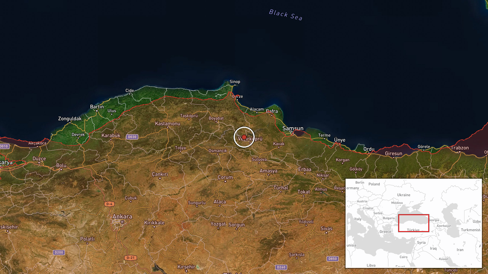
The exercise spans a regional area rather than a single point: the Black Sea (north), Sea of Marmara (central), Aegean Sea (southwest), and Eastern Mediterranean (south). The coordinate provided (41.235°N, 35.335°E) approximates the central Black Sea region. These waterways represent Turkey's primary maritime operational areas, bounded by Turkish territory, NATO allies, and contested maritime zones.
▶ View this event on the live map
Intel Mapper aggregates open-source reports from monitored Telegram and X channels, geolocates them, cross-checks duplicates across sources and assigns a confidence score. Entries are updated as new confirmations arrive. Read how we verify events.