Turkish commandos conduct joint training exercise on Mount Erciyes with Somali military
What happened
Turkey's 1st Airborne and Commando Brigade conducted a tactical movement from Zincidere to Mount Erciyes in Kayseri province alongside Somali military personnel on 19 September. According to the report, a Turkish commando unit climbed to the summit of the mountain to conduct reconnaissance during the joint training exercise. The operation was coordinated with broader training activities involving both forces.
Context and assessment
Mount Erciyes, a 3,917-meter dormant volcano in central Turkey, is a notable training location for high-altitude operations and complex terrain tactics. Joint exercises between Turkish and Somali forces reflect Turkey's ongoing military cooperation in the Horn of Africa, where Turkey maintains strategic interests and has provided training and advisory support. The emphasis on reconnaissance and summit-based operations suggests focus on navigation, observation, and tactical positioning skills relevant to mountainous or elevated defensive positions. Such drills are standard for special operations units maintaining readiness.
Sources and confidence
The report originates from a single X account (@ConflictTR) focused on conflict tracking. No cross-confirmation from additional independent sources is available. The confidence score of 6.0 reflects single-source reporting and the routine nature of military exercises, which typically have lower verification standards than combat operations. Additional confirmation from Turkish military statements or international observers would strengthen confidence.
Location
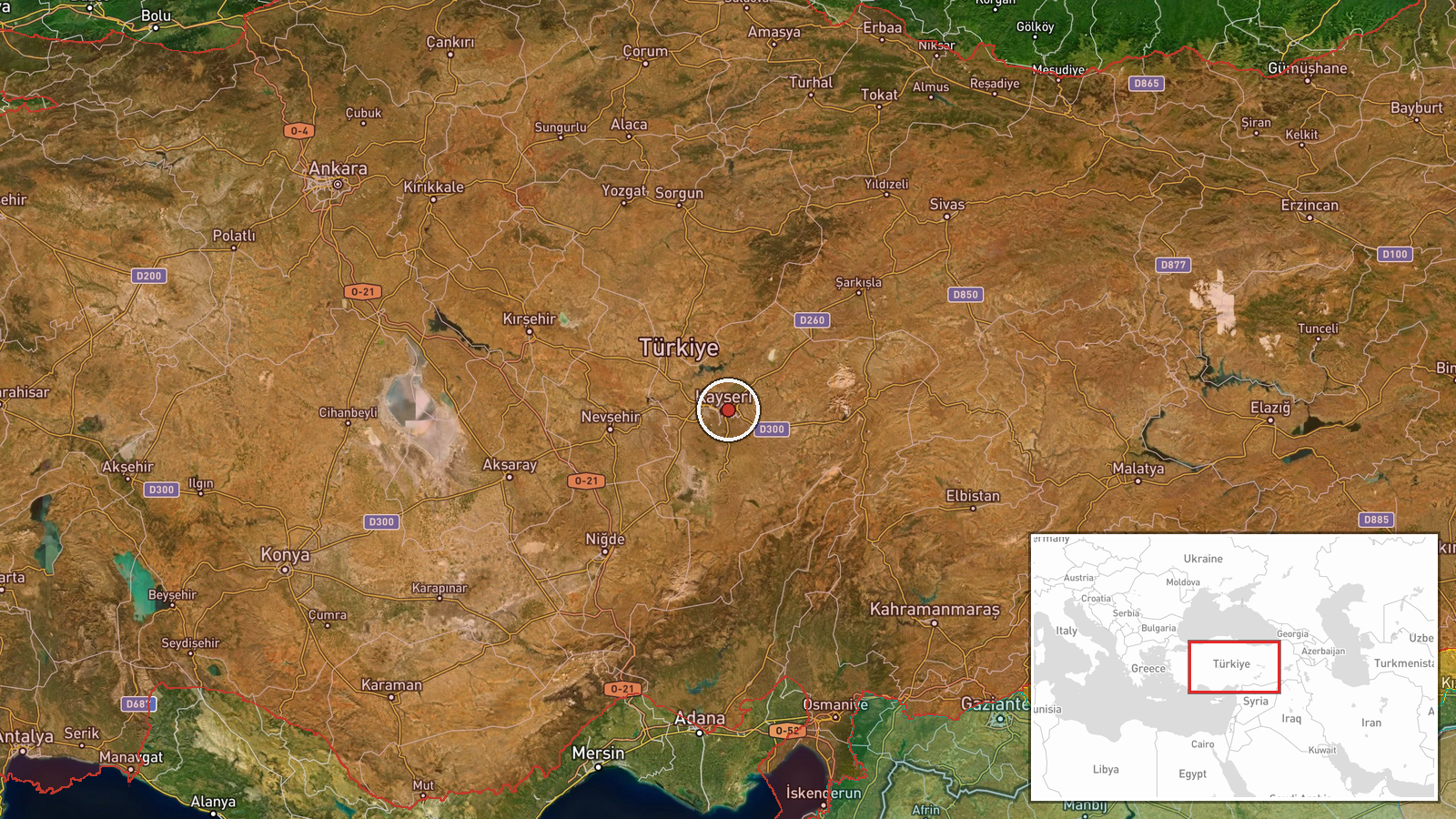
Mount Erciyes (Erciyes Dağı) is located in Kayseri Province in central Turkey at approximately 38.73°N, 35.52°E. The mountain is a prominent landmark in the Cappadocia region. The exercise began in the Zincidere area and proceeded to the mountain's summit, indicating a movement of several kilometers through varied terrain.
▶ View this event on the live map
Intel Mapper aggregates open-source reports from monitored Telegram and X channels, geolocates them, cross-checks duplicates across sources and assigns a confidence score. Entries are updated as new confirmations arrive. Read how we verify events.