North Korea launches ballistic missile toward East Sea
What happened
North Korea reportedly launched a ballistic missile toward the East Sea on September 20, 2026, according to reports cited by Yonhap. No details regarding the missile's range, payload, or impact were specified in available accounts. The launch direction toward the East Sea (also known as the Sea of Japan) is consistent with North Korea's established test corridor for ballistic weapons.
Context and assessment
Ballistic missile launches by North Korea toward the East Sea serve multiple purposes in the regime's weapons development program, including range testing, guidance system validation, and operational readiness demonstration. Such tests occur periodically and typically provoke responses from South Korean and Japanese defense authorities. The East Sea launch corridor allows North Korea to conduct tests without crossing into mainland territories of neighboring states, reducing immediate escalation risk while maintaining a visible military capability signal to regional and international audiences.
Sources and confidence
The report originates from Yonhap, South Korea's primary news agency, as relayed through an OSINT account on X. Single-source confirmation and lack of independent corroboration from South Korean military or defense ministry statements accounts for the moderate-low confidence score of 6.0. Official government statements or multi-channel reporting would substantially increase confidence in the event's verification.
Location
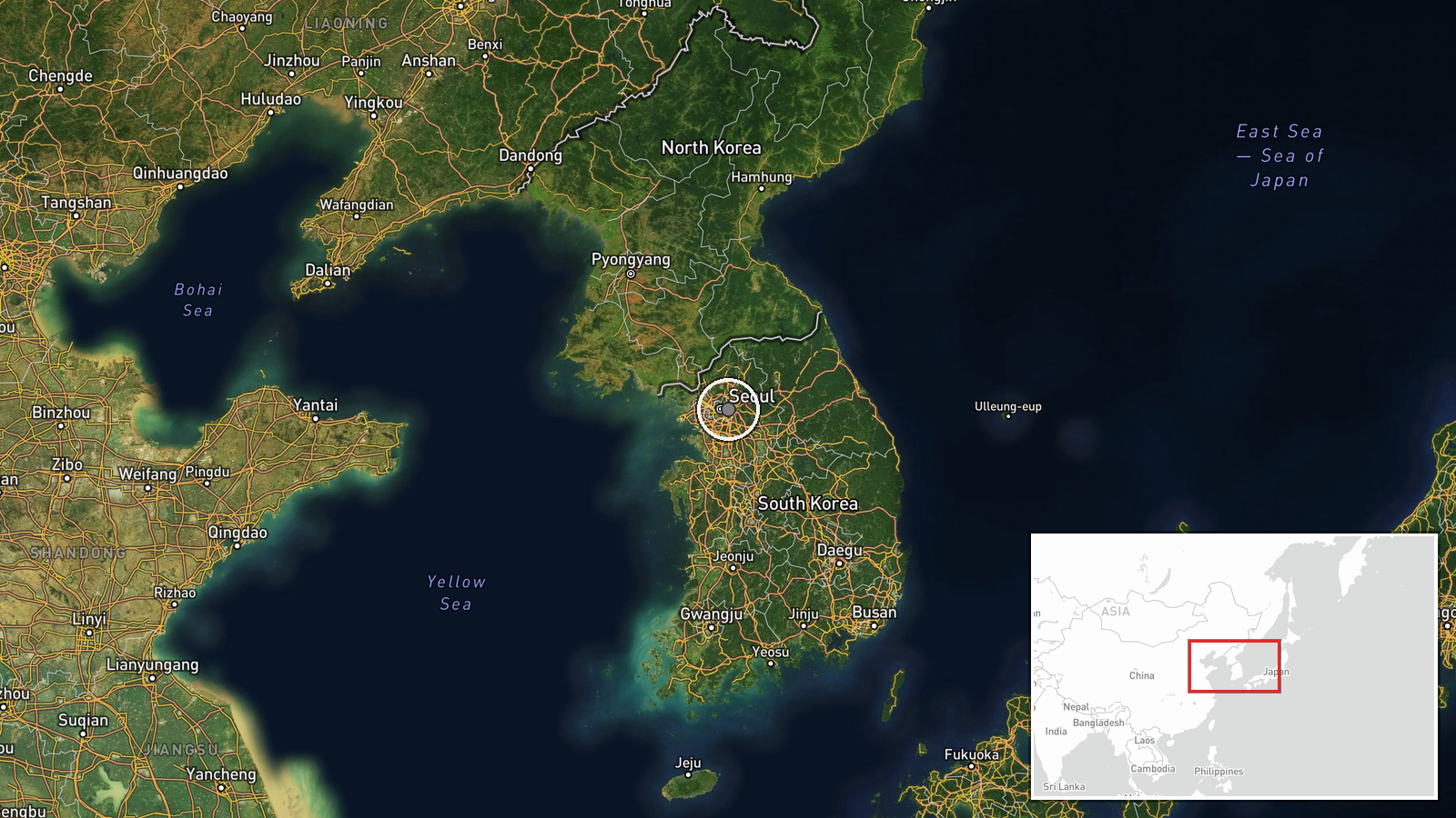
The East Sea (Sea of Japan) lies between the Korean Peninsula and Japan. The approximate coordinates reflect the general region rather than a precise launch site or impact zone, reflecting low geo-precision. North Korea typically conducts such tests from inland facilities, with missiles traveling eastward over water.
▶ View this event on the live map
Intel Mapper aggregates open-source reports from monitored Telegram and X channels, geolocates them, cross-checks duplicates across sources and assigns a confidence score. Entries are updated as new confirmations arrive. Read how we verify events.