Two crude oil tankers struck by projectiles in Red Sea on September 29
What happened
The UK Maritime Trade Organization (UKMTO) reported that two crude oil tankers were struck by unknown projectiles on September 29 in the Red Sea. The reports do not specify casualties, damage assessment, or the origin of the projectiles. The incidents were disclosed via UKMTO advisories and contributed to public awareness by open-source monitoring channels tracking maritime incidents.
Context and assessment
The Red Sea remains a contested maritime zone with multiple reported incidents involving vessels and unattributed projectiles. This attack follows a pattern of strikes on commercial shipping in the region over recent months. The targeting of crude oil tankers may reflect efforts to disrupt energy transport through a strategically vital chokepoint. Recent incidents in the area include the hijacking of the MT Orca in May by unidentified armed personnel, suggesting a persistent environment of maritime insecurity. The lack of attribution complicates assessment of whether these strikes represent escalation, routine harassment, or an attempt to signal political grievance.
Sources and confidence
Only one X account (@Osint613, via BeamTracker) reported this incident based on UKMTO publications. No cross-confirmation from independent maritime monitors or regional authorities is noted. Confidence is low (6.0/10) due to single-source reporting, absence of damage or casualty detail, and lack of attribution. Confirmation by additional maritime tracking organizations or crew statements would raise confidence; attribution of the projectile origin would significantly strengthen the assessment.
Location
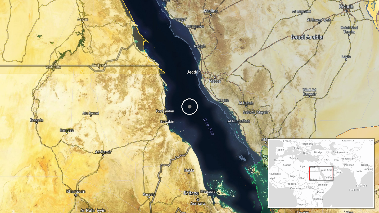
The Red Sea is a broad maritime zone between Africa and the Arabian Peninsula. The event location is specified only at regional precision (approximately 20°N, 38.5°E), placing it in the central Red Sea corridor where major shipping lanes converge. No specific settlement, facility, or vessel position is provided in the available data, limiting geographic certainty.
Related events nearby
- Eight Egyptian crew members from the hijacked tanker MT Orca have been freed. The vessel was seized in May off2026-09-30 10:04 UTC · Cargo Ship · Red Sea, off Shabwa Province, Yemen
▶ View this event on the live map
Intel Mapper aggregates open-source reports from monitored Telegram and X channels, geolocates them, cross-checks duplicates across sources and assigns a confidence score. Entries are updated as new confirmations arrive. Read how we verify events.