USS George H.W. Bush carrier strike group transits Indian Ocean toward Thailand port visit
What happened
Satellite imagery confirms USS George H.W. Bush (CVN-77), a Nimitz-class aircraft carrier, sailing in the Indian Ocean en route to Phuket, Thailand. The carrier strike group is scheduled to conduct a port call from October 4–10, 2026. The imagery was captured on October 3 and identified by open-source monitoring accounts tracking naval movements. The positioning represents routine operational transit and scheduled port engagement.
Context and assessment
U.S. carrier strike group movements in the Indian Ocean and Southeast Asia reflect ongoing strategic presence maintenance in the Indo-Pacific region. Port calls at allied facilities like Phuket serve logistics, crew welfare, and diplomatic functions while maintaining freedom-of-navigation patrols. Such transits are publicly announced and represent scheduled operations rather than crisis response. The timing and route indicate standard regional rotation patterns consistent with U.S. naval posture in contested waters.
Sources and confidence
Single report via X (@Osint613) based on Sentinel-2 satellite imagery. No cross-confirmation from secondary independent sources or official U.S. Navy statements provided. Confidence score of 6.0 reflects reliance on single-source open-source intelligence. Confirmation via official port call announcements or additional satellite passes would strengthen confidence; ambiguity about exact strike group composition would lower it.
Location
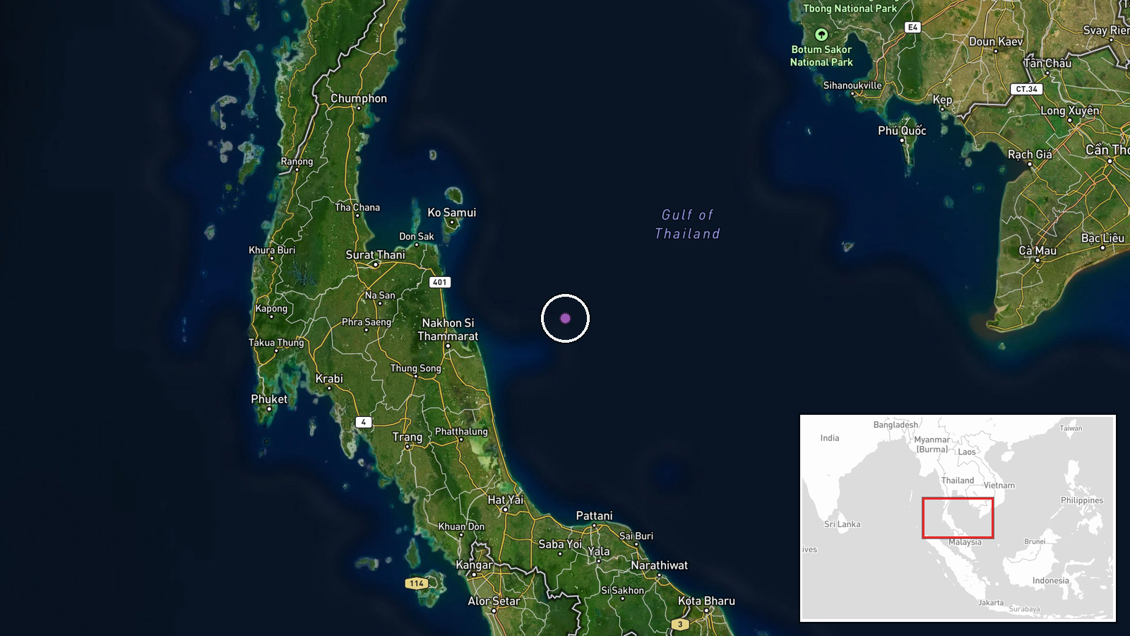
Indian Ocean, approximately 800 km southwest of Thailand's Phuket province. Position determined via Sentinel-2 multispectral satellite imagery showing the carrier's course and location. Phuket lies on Thailand's Andaman coast; the strike group was transiting southwestward through major shipping lanes in the eastern Indian Ocean region.
▶ View this event on the live map
Intel Mapper aggregates open-source reports from monitored Telegram and X channels, geolocates them, cross-checks duplicates across sources and assigns a confidence score. Entries are updated as new confirmations arrive. Read how we verify events.