Ukrainian drone strike reported at Kansk airbase in Krasnoyarsk, Russia
What happened
Ukrainian forces reportedly conducted an overnight drone strike on Kansk military airbase in Russia's Krasnoyarsk region, according to Ukrainian security officials. The attack allegedly destroyed one Su-35 multirole fighter aircraft and one Su-34 ground attack aircraft. An ammunition depot at the base was also reportedly struck, resulting in a large fire. The claim comes from SBU (Ukrainian Security Service) statements shared via social media.
Context and assessment
Kansk airbase, located deep within Russian territory in central Siberia, hosts combat aircraft that could theoretically be redeployed to operational theaters. Su-35 and Su-34 aircraft represent significant air assets—the Su-35 serves in air superiority and interception roles, while the Su-34 is optimized for tactical ground support and bombing missions. Strikes on Russian airbases far from frontline areas reflect Ukrainian efforts to degrade air power capabilities at source, though the distance (over 3,000 kilometers from Ukraine) complicates verification and raises questions about the strike method and accuracy.
Sources and confidence
Source comes from a single social media post via @Osint613, citing SBU claims. No independent cross-confirmation from Russian military statements or alternative monitoring channels provided. Low confidence reflects single-source reporting and lack of corroboration. Confidence would increase with secondary OSINT confirmation, Russian acknowledgment, or satellite imagery.
Location
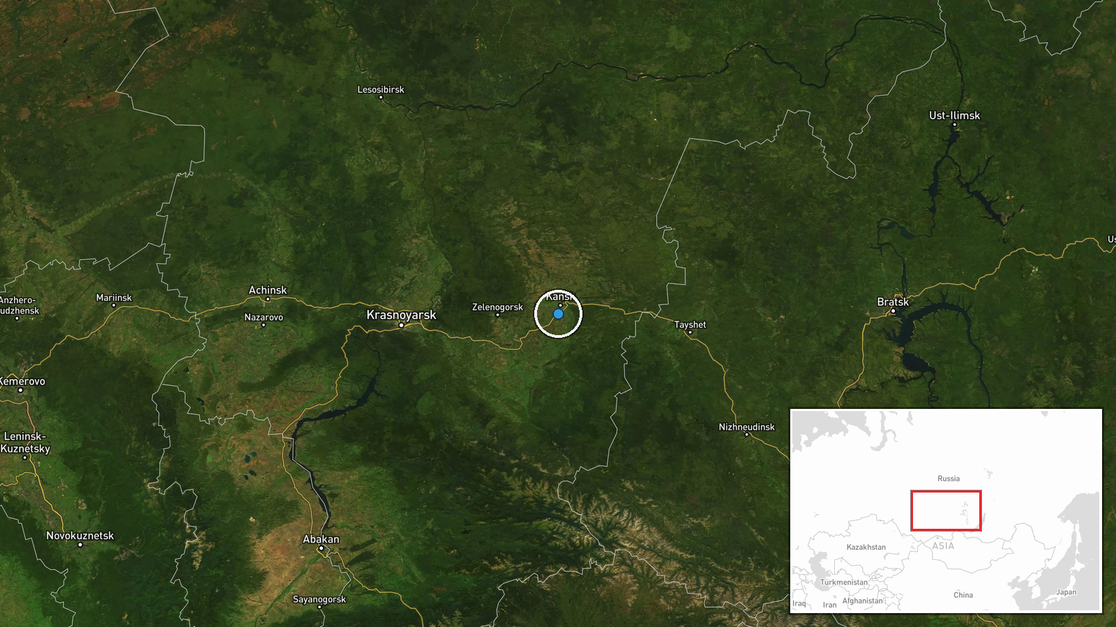
Kansk military airbase is located in Kansk, Krasnoyarsk Krai in south-central Russia. The airbase sits near the Kan River in a region of mixed forest and industrial infrastructure. Precision of coordinates is assessed as regional rather than facility-specific due to limited open-source geographic data on the base's exact perimeter and facilities.
▶ View this event on the live map
Intel Mapper aggregates open-source reports from monitored Telegram and X channels, geolocates them, cross-checks duplicates across sources and assigns a confidence score. Entries are updated as new confirmations arrive. Read how we verify events.