Major fire detected at Saudi Aramco's Rabigh refinery; Houthis claim responsibility
What happened
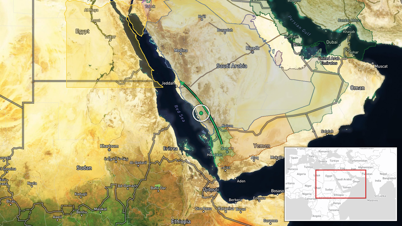
Satellite thermal imaging detected a significant fire at the Rabigh oil refinery in Saudi Arabia's Makkah Region on October 5, with fire radiating power measured at approximately 410 megawatts. Thick black smoke plumes were visible in satellite imagery. The Houthi movement claimed responsibility, stating the strike was retaliation for Saudi military operations in Yemen. However, independent confirmation of the attack's cause remains pending, and Saudi authorities have not yet publicly confirmed the fire's origin.
Context and assessment
The Rabigh refinery is a critical component of Saudi Arabia's downstream energy infrastructure, processing crude oil for domestic consumption and export. This incident reportedly represents an escalation in the Houthi campaign targeting Saudi energy facilities, following claimed strikes against Aramco installations in Riyadh and Khurais in recent days. Such attacks on refining capacity may reflect Houthi efforts to impose economic costs on Saudi Arabia and demonstrate operational reach deeper into the kingdom. The pattern suggests a sustained focus on energy infrastructure rather than military targets, potentially indicating an attempt to disrupt Saudi economic output or force political concessions regarding Yemen operations.
Sources and confidence
Reported by OSINT613 via X based on MTG-I1 satellite thermal detection. Single-source reporting with no cross-confirmation from Saudi officials, energy sector statements, or competing open-source monitors noted. Confidence score of 6.0 reflects satellite technical data (thermal signature) supporting fire occurrence, but absence of independent verification of Houthi attribution. Confirmation from Saudi authorities, Aramco statement, or additional OSINT sources would significantly raise confidence.
Location
Rabigh refinery is located in Rabigh town, Makkah Region, western Saudi Arabia, approximately 190 kilometers north of Jeddah on the Red Sea coast. The facility sits inland from the coastline in an arid industrial zone. Precise coordinates derived from satellite thermal detection. Nearby Yanbu industrial zone lies roughly 150 kilometers to the north.
▶ View this event on the live map
Intel Mapper aggregates open-source reports from monitored Telegram and X channels, geolocates them, cross-checks duplicates across sources and assigns a confidence score. Entries are updated as new confirmations arrive. Read how we verify events.