USAF KC-46A Pegasus tanker tracked toward Yemen in support of Saudi operations
What happened
A United States Air Force KC-46A Pegasus aerial refueling tanker was tracked on October 5, 2026, heading toward the Arabian Peninsula, reportedly in coordination with Royal Saudi Air Force strikes against Houthi forces in Yemen. The aircraft was observed over the North Arabian Sea region. The KC-46A is a modern tanker variant based on the Boeing 767, designed to extend the range and endurance of fighter and strike aircraft through mid-air refueling operations.
Context and assessment
The appearance of U.S. refueling assets in Yemen's vicinity reflects ongoing American military support for Saudi-led operations against Houthi forces, who have conducted drone and missile attacks on regional shipping and infrastructure. Aerial refueling tankers are essential enablers for sustained air campaigns, allowing strike aircraft to loiter longer over target areas or reach distant objectives. The deployment indicates either planned increases in air operations intensity or preparation for missions requiring extended range. Such movements typically accompany periods of elevated maritime tension in the Red Sea and Gulf of Aden, though without additional corroborating reports, the scale and duration of this particular operation remain unclear.
Sources and confidence
Reported solely by @Osint613 on X (formerly Twitter), a social media account focused on open-source intelligence tracking. The single-source nature and regional-level precision of the location data account for the moderate confidence score of 6.0. Confirmation from additional OSINT channels, official statements, or secondary radar tracking would increase reliability. Absence of conflicting reports does not constitute corroboration.
Location
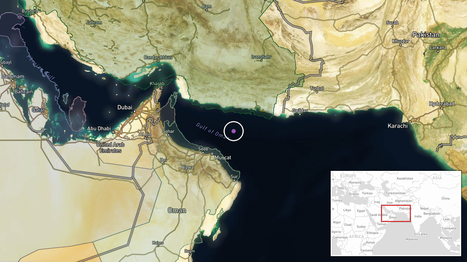
The North Arabian Sea, approximately 240 kilometers west-southwest of Muscat, Oman, based on provided coordinates (24.5°N, 59.5°E). Precision is regional rather than precise due to typical tracking limitations at sea. The area lies within common transit routes between the Strait of Hormuz and Yemen, over open water between the Arabian Peninsula and Oman.
▶ View this event on the live map
Intel Mapper aggregates open-source reports from monitored Telegram and X channels, geolocates them, cross-checks duplicates across sources and assigns a confidence score. Entries are updated as new confirmations arrive. Read how we verify events.