Houthis fire two ballistic missiles at Bab el-Mandeb Strait during live broadcast
What happened
The Houthi movement reportedly launched two ballistic missiles toward the Bab el-Mandeb Strait on October 5, 2026, according to reports circulated on social media. The attack was notably timed during a live broadcast by an Al Arabiya correspondent, suggesting deliberate timing for media attention. The missiles targeted the strategic waterway connecting the Red Sea to the Gulf of Aden, a critical chokepoint for international maritime traffic.
Context and assessment
The Bab el-Mandeb Strait is one of the world's most important shipping routes, with an estimated 12 percent of global maritime trade passing through it annually. Houthi attacks on shipping in this region have escalated since late 2023, part of a broader campaign targeting commercial vessels and military assets they claim are linked to Israel and Western powers. This incident fits an established pattern of Houthi strikes in the Red Sea and Gulf of Aden, where the group has employed drones, missiles, and naval assets to disrupt maritime commerce and demonstrate capability.
Sources and confidence
Two sources reported the attack: Telegram channel ClashReport and X account ConflictTR. The low confidence score of 6.0 reflects limited source corroboration and regional-level geographic precision rather than confirmed impact assessment. Confirmation from additional independent sources or official statements would strengthen confidence. Visual evidence or maritime incident reports would also clarify whether missiles reached intended targets.
Location
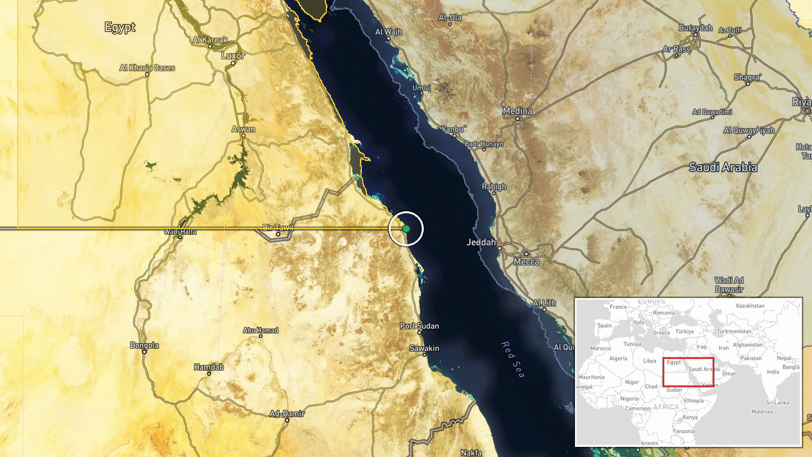
The Bab el-Mandeb Strait is located at approximately 22°N, 36.9°E, forming the narrow passage between Yemen and Djibouti at the southern entrance to the Red Sea. The strait is roughly 30 kilometers wide at its narrowest point and connects Red Sea traffic to the Gulf of Aden and Indian Ocean beyond. Geographic precision is regional rather than pinpoint due to the broad target area.
▶ View this event on the live map
Intel Mapper aggregates open-source reports from monitored Telegram and X channels, geolocates them, cross-checks duplicates across sources and assigns a confidence score. Entries are updated as new confirmations arrive. Read how we verify events.