RAF KC-3 Voyager tankers tracked near southern Yemen in support role
What happened
British Royal Air Force KC-3 Voyager aerial refueling aircraft were reportedly tracked conducting missions near southern Yemen on October 5, 2026, according to monitoring accounts on X. The flights are assessed as likely connected to Saudi Arabian military operations in the region. KC-3 Voyagers serve as air-to-air refueling platforms, extending the operational range of combat and transport aircraft. The exact nature of the missions and aircraft being supported was not specified in available reporting.
Context and assessment
Southern Yemen remains contested terrain where Saudi-led coalition forces have maintained operations since 2015, though intensity has fluctuated significantly. British military support to coalition partners in the region has been ongoing, though typically emphasizes training, intelligence, and logistics roles rather than direct combat operations. The presence of RAF tanker aircraft suggests sustained air operations by coalition forces, potentially indicating renewed or heightened activity in southern Yemen. This could reflect operational tempo changes, support for anti-Houthi campaigns, or routine deployment cycles. However, a single report provides limited basis for assessing operational significance.
Sources and confidence
Reported by @WarMonitor3 on X platform. Single source detection limits confidence assessment. No cross-confirmation from military announcements, independent observers, or competing monitors noted. Confidence score of 6.0 reflects typical reporting pattern for aircraft tracking but reliance on unverified account. Confirmation from radar data, official statements, or multiple independent monitors would strengthen assessment.
Location
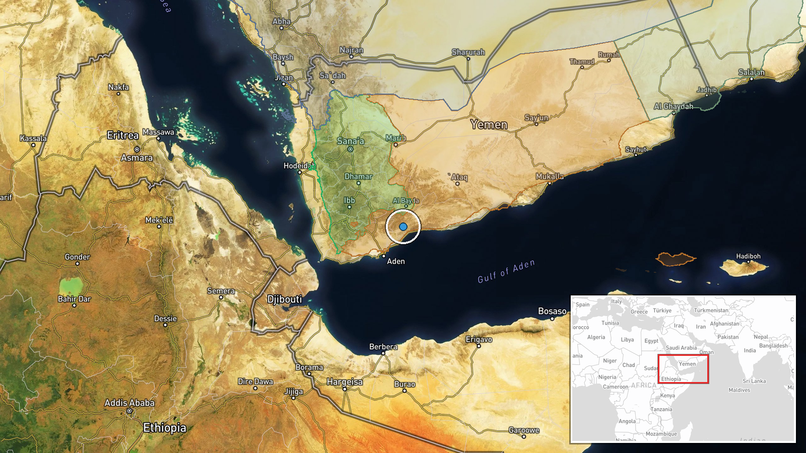
Southern Yemen, determined at regional level (latitude 13.5°N, longitude 45.5°E) based on source description rather than precise coordinates. This encompasses the southwestern portion of Yemen's territory, an area of ongoing strategic significance including ports, military installations, and disputed zones relevant to coalition operations.
▶ View this event on the live map
Intel Mapper aggregates open-source reports from monitored Telegram and X channels, geolocates them, cross-checks duplicates across sources and assigns a confidence score. Entries are updated as new confirmations arrive. Read how we verify events.