Saudi Arabia conducts airstrike southwest of Sana'a; video shows secondary explosions
What happened
Saudi Arabian aircraft conducted an airstrike southwest of Sana'a, Yemen's capital, on October 12, 2026. Video footage posted to X reportedly shows detonation of heavy ordnance with what appears to be secondary explosions or 'cook off' at the impact site, suggesting either ammunition storage or fuel ignition at the target location. The precise target and any resulting damage remain unconfirmed from available reporting.
Context and assessment
Southwest Sana'a lies within territory controlled by Houthi forces, who have been the focus of a Saudi-led air campaign since 2015. The appearance of secondary explosions in the footage suggests the strike may have targeted military infrastructure, ammunition depots, or fuel storage facilities rather than civilian areas. The scale of the detonation visible in the video indicates use of significant ordnance. Such strikes form part of the broader pattern of Saudi operations against Houthi military capabilities, though the frequency and intensity of such strikes has varied considerably depending on diplomatic and military developments in the Yemen conflict.
Sources and confidence
Single report from OSINT-focused X account @Osint613, which shared video footage of the strike. No cross-confirmation from other open-source channels or official statements from Saudi or Yemeni sources noted. Confidence score of 6.8 reflects the visual evidence of the strike itself but limited independent verification of target details and effects.
Location
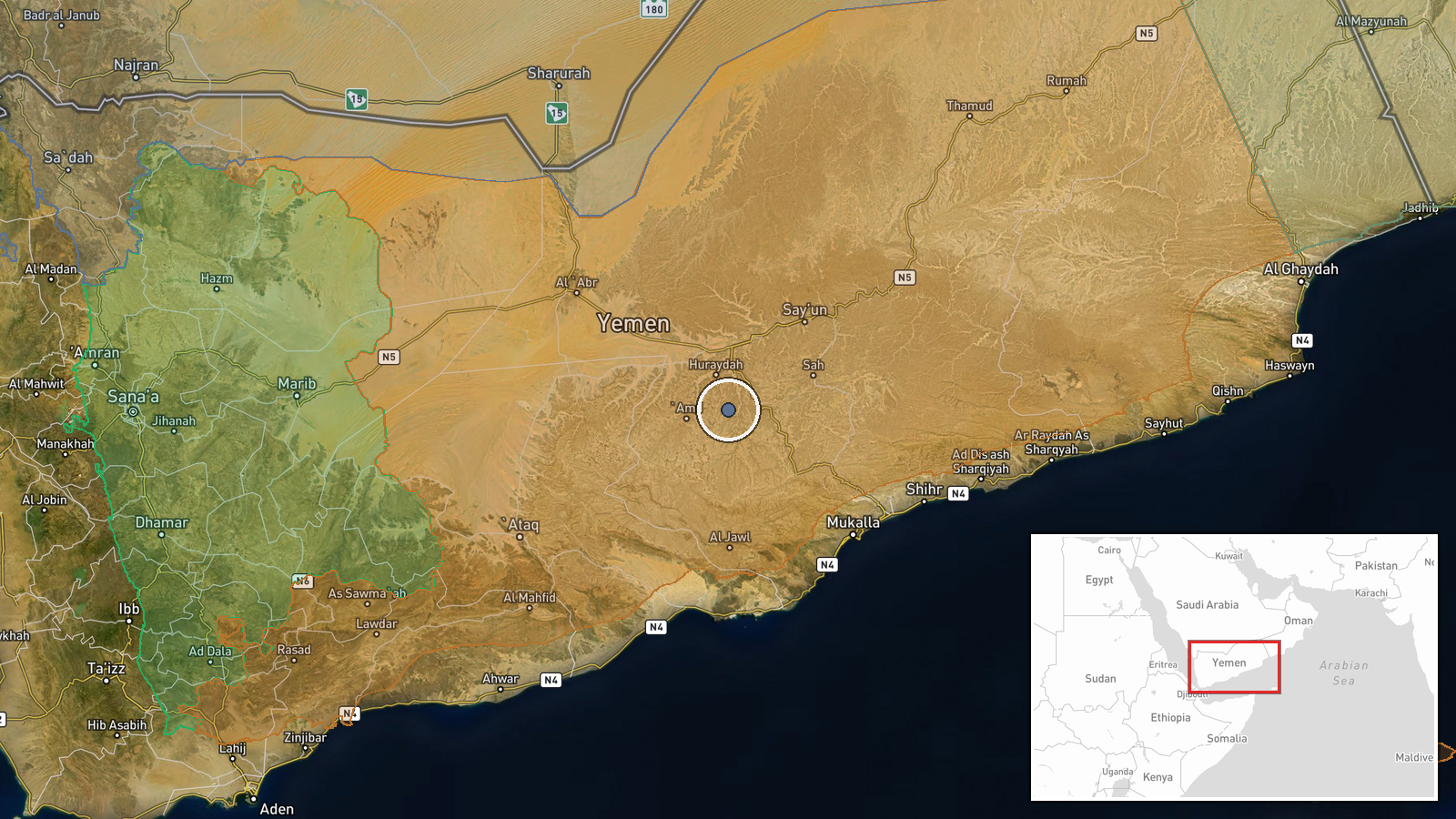
Southwest of Sana'a city center at approximately 15.37°N, 48.27°E. The location is determined regionally rather than to a specific facility. The area lies within Yemen's central highlands, in territory held by Houthi forces. Sana'a itself sits roughly 50 kilometers to the northeast of the strike coordinates.
▶ View this event on the live map

Intel Mapper aggregates open-source reports from monitored Telegram and X channels, geolocates them, cross-checks duplicates across sources and assigns a confidence score. Entries are updated as new confirmations arrive. Read how we verify events.