Turkey showcases FPV kamikaze drone launch system during ATEŞ SERBEST-2026 exercise
What happened
Turkish military displayed a deployable first-person-view kamikaze drone system featuring a retractable roof and rotating launch mechanism during the ATEŞ SERBEST-2026 (Fire Freedom-2026) exercise on October 14. The system demonstration was part of broader military exercises conducted by Turkey that day, which also included live-fire testing of Sivrisinek swarm drones and Akıncı attack drone participation in ceremonial flybys.
Context and assessment
The ATEŞ SERBEST-2026 exercise appears designed to demonstrate Turkey's expanding autonomous and kamikaze drone capabilities across multiple platforms. The retractable-roof launch system suggests operational focus on rapid deployment and concealment, potentially relevant to Turkey's strategic posture in regional tensions and its established procurement patterns for unmanned systems. The exercises coincide with Turkey's receipt of C-130J transport aircraft, indicating broader modernization of airlift and tactical capabilities. The series of demonstrations—from swarm coordination to dedicated launch platforms—reflects Turkey's integration of cheaper, expendable drone systems as force multipliers alongside conventional military assets.
Sources and confidence
Single source report via X (@ConflictTR). No cross-confirmation from Turkish military official statements or other open-source channels noted. Confidence score of 6.3 reflects single-source reporting and unconfirmed specific technical details. Corroboration from Turkish Defense Ministry or multiple independent channels would increase confidence; clarification of exact exercise location and system specifications would strengthen assessment.
Location
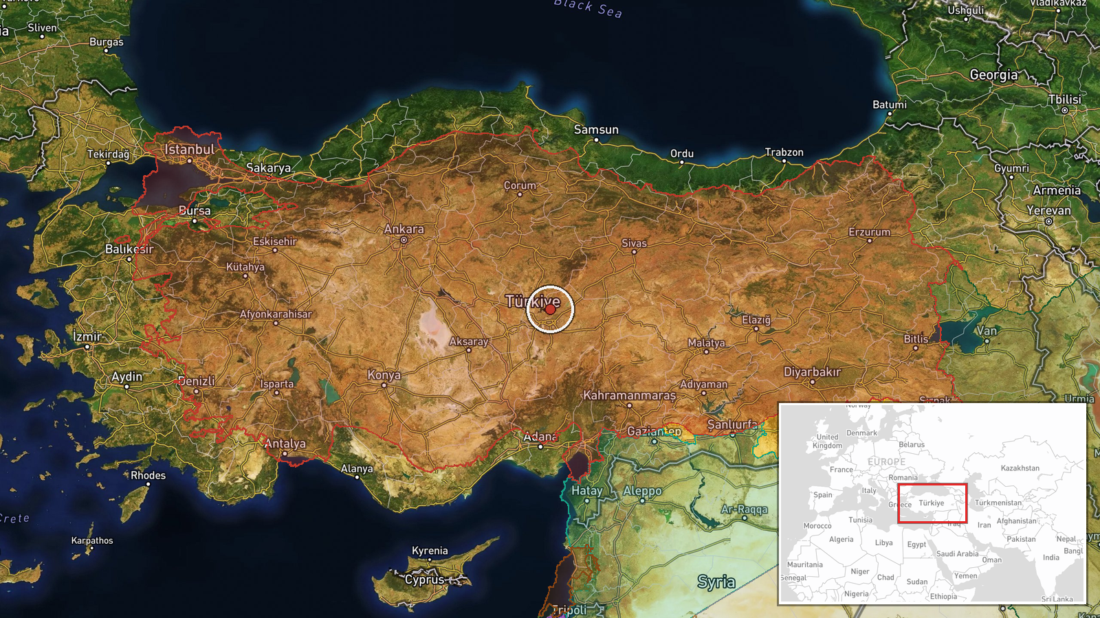
Location determined only at regional level (coordinates 38.953°N, 35.494°E indicate central Turkey). Specific exercise site not publicly identified in source material. ATEŞ SERBEST-2026 exercise conducted somewhere within Turkish territory; precise location, nearest settlement, or military installation not determined from available reporting.
▶ View this event on the live map

Intel Mapper aggregates open-source reports from monitored Telegram and X channels, geolocates them, cross-checks duplicates across sources and assigns a confidence score. Entries are updated as new confirmations arrive. Read how we verify events.