U.S. military airlift activity surges across eastern Mediterranean and Middle East
What happened
Flight tracking data indicates a significant increase in U.S. military cargo operations across the eastern Mediterranean and Middle East region over a two-week period ending mid-October 2026. According to open-source flight tracking, C-17 Globemaster transport aircraft flights rose approximately 80 percent above August baseline levels, while C-5 Galaxy heavy-lift sorties doubled during the same timeframe. The reporting emphasizes that available data represents a 24-hour snapshot, suggesting the figures may reflect daily variations rather than sustained trends.
Context and assessment
Increased U.S. airlift activity typically signals strategic repositioning, personnel rotation, or supply augmentation in response to operational requirements or contingency postures. The eastern Mediterranean remains a focal point for U.S. military operations supporting NATO allies, regional security partnerships, and Middle Eastern commitments. The timing coincides with concurrent NATO naval exercises in the Eastern Mediterranean, including a reported passing exercise involving French and Turkish naval vessels on October 13. Such coordinated air and naval activity may indicate heightened operational tempo, though sustained airlift surges can also reflect routine rotation cycles, training deployments, or logistical resupply operations rather than crisis response.
Sources and confidence
Single source from X (@Osint613) citing open-source flight tracking data (FlightRadar24). No independent cross-confirmation reported. Confidence score of 6.8/10 reflects reliance on single open-source channel and lack of corroboration from official statements or secondary sources. Confirmation from additional flight tracking platforms or official U.S. military statements would strengthen confidence; absence of contextual intelligence on operation purpose or duration lowers reliability.
Location
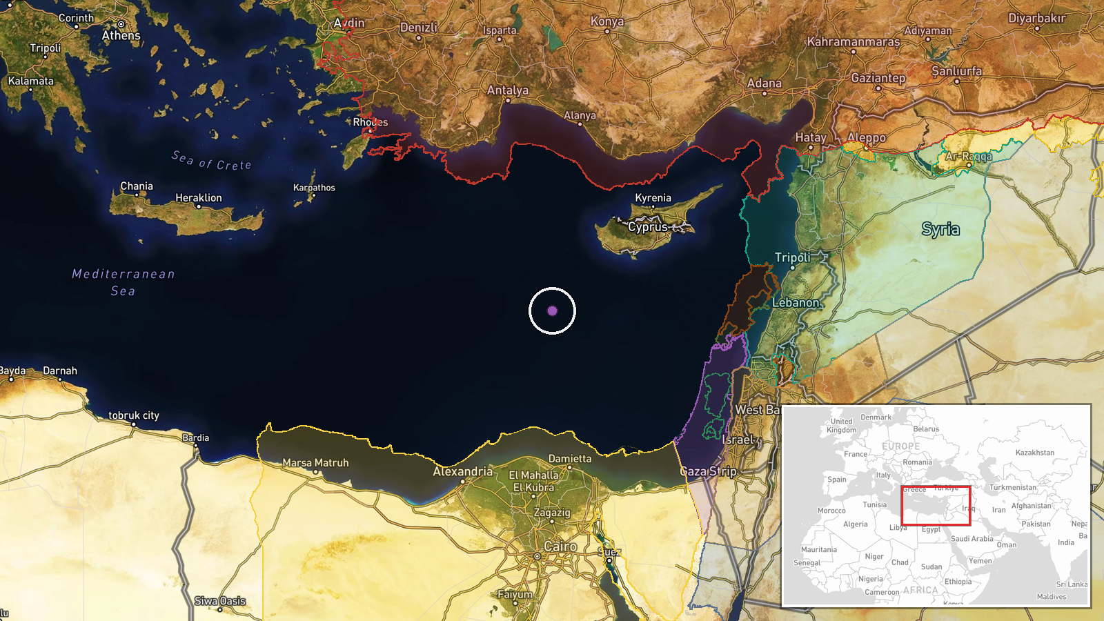
Eastern Mediterranean and Middle East region broadly defined. Coordinates indicate central Mediterranean/Levantine area (approximately 33.8°N, 31.5°E). Precision classified as regional rather than specific facility or airfield, reflecting that flight tracking data provides airspace activity rather than precise origin or destination points. Analysis relies on aggregated traffic patterns rather than identified landing zones.
Related events nearby
- NATO SNMG2 Standing Naval Maritime Group: FS Surcouf (French Navy) conducted a PASSEX (passing exercise) drill2026-10-13 19:21 UTC · Military Exercise · Eastern Mediterranean Sea
▶ View this event on the live map

Intel Mapper aggregates open-source reports from monitored Telegram and X channels, geolocates them, cross-checks duplicates across sources and assigns a confidence score. Entries are updated as new confirmations arrive. Read how we verify events.