Netanyahu announces eastern border barrier from Yarmouk to Eilat amid regional tensions
What happened
Israeli Prime Minister Benjamin Netanyahu stated on October 15 that Israel is constructing a major barrier along its eastern border extending from the Yarmouk River to Eilat. He framed the barrier as part of a broader security posture that includes security zones in Lebanon, Syria, and Gaza. Netanyahu characterized the defensive infrastructure as a deterrent message to regional adversaries, stating the construction aims to communicate to Israel's enemies that they should not challenge Israeli security.
Context and assessment
The eastern border barrier announcement comes amid a pattern of escalatory rhetoric from Israeli leadership in mid-October 2026. Netanyahu's statement follows his October 14 call for regime change in Iran and related messaging about Israeli military capability. The barrier project reflects broader Israeli security strategy along borders with Syria and Lebanon, regions where Israeli forces have conducted operations. The Yarmouk-to-Eilat line spans Israel's eastern frontier facing Jordan and historically contested territories. This announcement appears designed to signal consolidated Israeli defensive positioning across multiple fronts while diplomatic efforts continue, though the scale and timeline of actual construction remain unclear.
Sources and confidence
The statement was reported via X account @Osint613 on October 15, representing a single source capture of Netanyahu's remarks. No cross-confirmation from mainstream media outlets or Israeli government press releases is noted in the provided data. The confidence score of 6.5 reflects the authentic attribution of Netanyahu's statement but limited source diversity and ambiguity regarding construction status versus announced plans.
Location
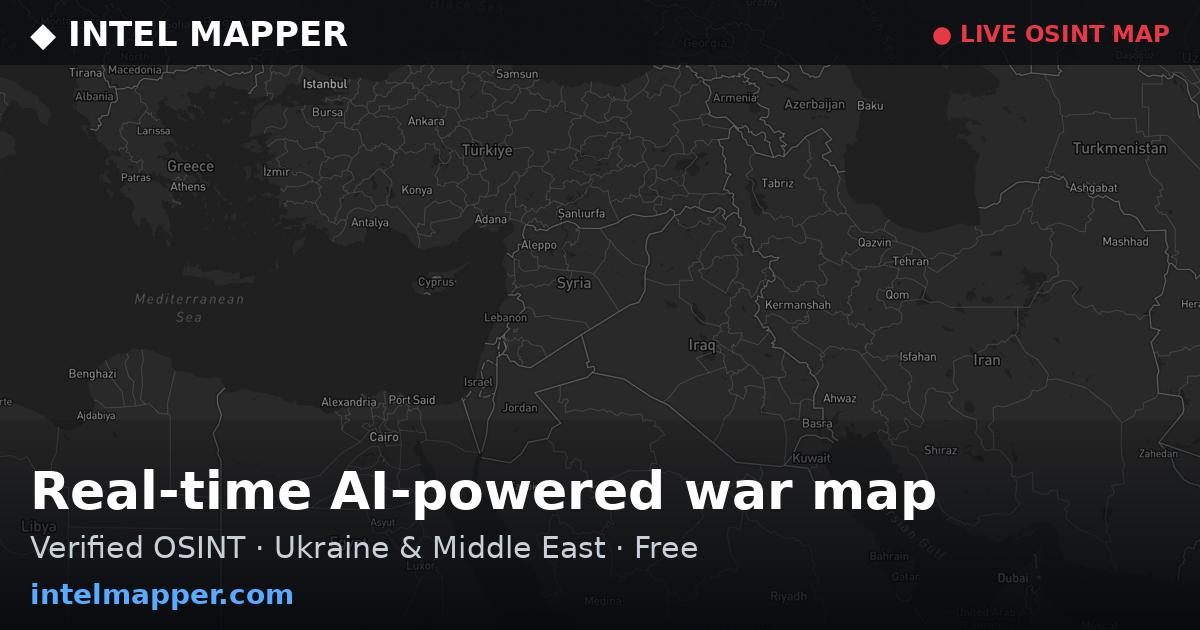
The eastern border barrier spans Israel's eastern frontier from the Yarmouk River in the north (approximate coordinates 32.9°N, 35.8°E) to Eilat in the south (29.5°N, 34.95°E), running roughly 350 kilometers along borders with Syria, Jordan, and Palestinian territories. The barrier encompasses Israel's eastern boundary facing the Levantine interior and the Red Sea approach.
Related events nearby
- Israeli PM Netanyahu issues warning to enemies: 'Do not test us.' Statement reflects military posture and dete2026-10-15 11:07 UTC · Statement · Jerusalem, Israel
- Colombia's Foreign Minister announced at Jerusalem embassy opening that Colombia is withdrawing from the Hague2026-10-14 20:04 UTC · Diplomacy · Jerusalem, Israel
- Israeli PM Netanyahu calls for regime change in Iran, stating Iran is at its weakest point and Israel must 'fi2026-10-14 20:01 UTC · Statement · Jerusalem, Israel
- Israeli Foreign Minister Gideon Sa'ar reiterates that Israel has no intention of relinquishing rights over Jer2026-10-14 18:14 UTC · Statement · Jerusalem, Israel
- Former Israeli PM Naftali Bennett proposes shifting mediation efforts from Qatar to Egypt, citing President Si2026-10-14 17:14 UTC · Statement · Jerusalem, Israel
▶ View this event on the live map

Intel Mapper aggregates open-source reports from monitored Telegram and X channels, geolocates them, cross-checks duplicates across sources and assigns a confidence score. Entries are updated as new confirmations arrive. Read how we verify events.