USS George H.W. Bush carrier strike group operates in Arabian Sea after Thailand port call
What happened
The USS George H.W. Bush (CVN-77), a Nimitz-class nuclear-powered aircraft carrier, is conducting operations in the Arabian Sea as part of its scheduled deployment to the Middle East, according to a CENTCOM statement shared via social media on October 15. The carrier strike group, which includes approximately 5,000 crew members and embarked personnel, recently completed a port visit to Thailand. The statement indicates the carrier is actively supporting ongoing CENTCOM operations in the region.
Context and assessment
Carrier strike group deployments to the Middle East represent sustained U.S. naval power projection and commitment to regional operations. The Arabian Sea position provides operational reach across the Persian Gulf, Gulf of Oman, and Indian Ocean. The timing and explicit mention of CENTCOM operations suggests the deployment is supporting counterterrorism efforts, maritime security, and deterrence activities in an area where U.S. naval presence has been a consistent feature of Middle East strategy. Thailand port visits are routine for Pacific Fleet units rotating through the region and do not indicate any particular operational shift.
Sources and confidence
The report originates from a CENTCOM-issued statement distributed via X (formerly Twitter) and captured by the @Osint613 account on October 15, 2026. As an official U.S. military command statement, the information carries institutional credibility. The confidence score of 6.6 reflects the single-source nature of the report in the dataset, though the authoritative nature of CENTCOM statements typically ensures accuracy. Confirmation through independent satellite imagery or additional official statements would strengthen confidence.
Location
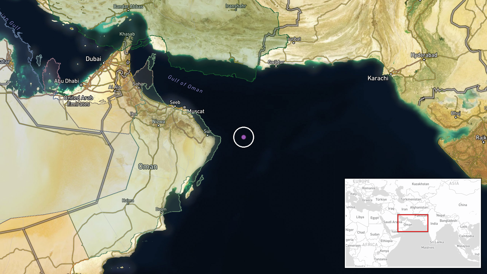
The Arabian Sea, located between the Arabian Peninsula and the Indian subcontinent, extends from the Gulf of Oman in the north to the Indian Ocean in the south. The coordinates (22.5°N, 61.0°E) place the reported position in the northern Arabian Sea region. However, the stated precision is regional rather than specific, as carrier strike group positions are rarely disclosed with tactical precision in open-source statements for operational security reasons.
▶ View this event on the live map

Intel Mapper aggregates open-source reports from monitored Telegram and X channels, geolocates them, cross-checks duplicates across sources and assigns a confidence score. Entries are updated as new confirmations arrive. Read how we verify events.