Saudi air defenses intercept Houthi drone over southern Arabia
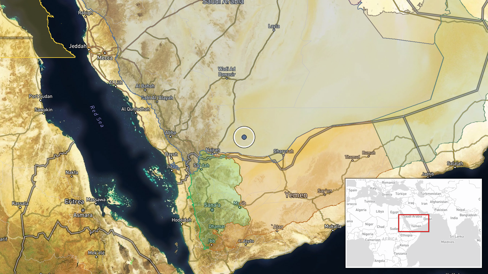
What happened
Saudi-led coalition air defense systems reportedly intercepted and destroyed a Houthi drone targeting southern Saudi Arabia on October 15, 2026. The drone was engaged and eliminated before reaching its intended target. The coalition confirmed the successful interception in a statement distributed via social media channels, marking another instance of aerial activity in the ongoing regional conflict.
Context and assessment
Southern Saudi Arabia, spanning the Red Sea coast and interior provinces, has been a persistent target for Houthi drone and missile operations since the escalation of Yemen's conflict. The Houthis, an Iran-aligned militant group based in Yemen, have conducted repeated attacks on Saudi infrastructure and civilian areas, with unmanned aircraft serving as a primary asymmetric tool. Coalition air defense capabilities have improved markedly over the conflict's duration, though successful interceptions remain significant military achievements given the volume and sophistication of incoming threats. This incident reflects the cyclical pattern of attack and defense that has characterized the conflict in recent years.
Sources and confidence
Two sources reported the interception: Telegram channel @warmonitors and X account @Osint613. Confidence of 7.4/10 reflects dual sourcing of official coalition claims, though the geolocation is approximate (regional-level precision) and no independent verification is available. Confirmation from additional military analysts or video evidence would strengthen confidence; corroboration from Houthi statements about the operation would clarify intent and weapon type.
Location
Southern Saudi Arabia encompasses multiple provinces along the Arabian Peninsula's southwestern region, including areas bordering Yemen. The coordinates (18.2°N, 45.5°E) place the report in the general southern zone. Precise target or interception coordinates were not disclosed. The region includes major cities and sensitive infrastructure but lacks specificity in this report.
▶ View this event on the live map

Intel Mapper aggregates open-source reports from monitored Telegram and X channels, geolocates them, cross-checks duplicates across sources and assigns a confidence score. Entries are updated as new confirmations arrive. Read how we verify events.