Single-source report says Ukraine unveiled 'Thor Hammer' medium-range drone with 600 km range
What happened
A single post on X from the account @ConflictTR, written in Turkish, reports that the Ukrainian army has unveiled a new unmanned aerial vehicle called the 'Thor Hammer' (rendered in the original as 'Thor Çekici'). The post states the medium-range drone has a range of up to 600 km and can carry a warhead of up to 50 kilograms. It gives no date for the unveiling, no designer, no unit, and no imagery or official document beyond its own short link. The event is placed in Kyiv at settlement-level precision, which reflects where the report is credited rather than any verified production or test site. The wording describes the drone as unveiled, not as deployed or used in combat, and the record should be read that way.
Context and assessment
The platform places this claim in Kyiv, the seat of government and a major defense-linked city, so the location reflects the capital as the origin of the announcement rather than a confirmed facility. The related entries share a timestamp cluster on the same day and concern the wider war economy and air defense: a Zelensky statement that European allies hold enough Patriot interceptors to carry Ukraine through winter, reducing the need for an energy-ceasefire-linked anti-ballistic arrangement; a report, attributed to a DVB Telegram post, that Ukraine rejects an energy strike ceasefire proposed by Trump; and statements on Starlink restrictions for Ukrainian forces. Read together, these items point to ongoing debate over long-range strikes against energy infrastructure and over the resilience of communications and interceptor supply. A drone with a claimed 600 km range and 50 kg warhead would fit a deep-strike role, but nothing in the data links this platform to any specific target or operation. Any operational inference, such as a shift toward longer-range unmanned strike capacity, is speculative until corroborated by official material or independent reporting.
Sources and confidence
Only one channel, X (@ConflictTR), carries this report, and no second outlet or official Ukrainian source has been matched to it in the data. The related Kyiv statements share timestamps but do not mention the drone, so they add context without confirming the claim. The confidence score of 6.3 reflects a single unverified source with no named designer, date, or imagery. Confidence would rise with an official Ukrainian announcement, a wire-service pickup, photographs or video of the airframe, or a named manufacturer. It would fall if the claim proves to be a recycled older announcement, a mistranslation of another system, or unsupported by any official record.
Location
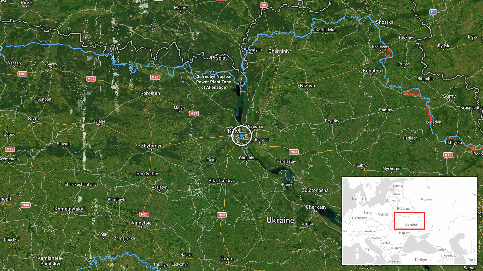
The location is recorded at settlement level, using coordinates for central Kyiv (50.4501, 30.5234). This points to the city as a whole and not to a factory, airfield, or test range, which the report does not name. Kyiv sits on the Dnipro River in north-central Ukraine and is the largest urban centre in the country. The city's dense built-up area and river setting mean the point marks a broad urban zone rather than a specific site.
Related events nearby
- Zelensky says Russia launched about 1,000 drones in Ukraine in one day, and notes US difficulty engaging him v2026-10-16 13:15 UTC · Statement · Kyiv, Ukraine
- Zelensky says Putin wants to destroy Ukraine, denies it is a real nation, and says eastern Donbas alone would 2026-10-16 13:14 UTC · Statement · Kyiv, Ukraine
- Zelensky says Ukraine protects Moldova from Russian destabilization via Transnistria, diverting some military 2026-10-16 13:12 UTC · Statement · Kyiv, Ukraine
- Zelensky says Putin does not want the war to end, that Donbas will not satisfy him, and that Moscow may accept2026-10-16 12:02 UTC · Statement · Kyiv, Ukraine
- Zelensky says Starlink speed limits for Ukrainian forces were lowered; restrictions on military Starlink use r2026-10-16 11:55 UTC · Statement · Kyiv, Ukraine
▶ View this event on the live map

Intel Mapper aggregates open-source reports from monitored Telegram and X channels, geolocates them, cross-checks duplicates across sources and assigns a confidence score. Entries are updated as new confirmations arrive. Read how we verify events.