Unverified reports of smoke rising from oil facilities in Hurays, Saudi Eastern Province
What happened
A single post on X from the account @ConflictTR, written in Turkish, reports that smoke has been seen rising from oil facilities in Hurays, in Saudi Arabia's Eastern Province. The post links to a short item, but the event data includes no imagery, video, or independent statement from Saudi authorities or the facility operator. The report is timed at 09:12 UTC on 17 October 2026. The original wording, 'iddia ediliyor', means the smoke is being alleged rather than confirmed. The event is classified as a report rather than an attack. No cause, responsible party, or casualties are identified.
Context and assessment
Hurays sits within the oil and gas processing landscape of Saudi Arabia's Eastern Province, the country's principal hydrocarbon region, where large production fields and processing plants supply much of the kingdom's output. Infrastructure of this kind is strategically significant, so even a brief disruption draws attention. Saudi oil sites have been targeted in the past during periods of regional tension, most notably the 2019 strikes on processing facilities in the east, which is why unexplained smoke there tends to be read against that history. This event has no related events in the dataset, so it cannot be placed within a visible recent pattern on this map. Operationally, smoke over an oil site could reflect several things: routine flaring, maintenance or a controlled burn, an industrial fire, or a deliberate attack. Without corroborating imagery or an official account, these possibilities cannot be separated, and the report should be treated as an unresolved question rather than an indication of hostile action.
Sources and confidence
The event rests on one channel, X account @ConflictTR, with a source count of one and no cross-confirmation from wire services, Saudi official statements, or independent observers. The confidence score of 5.5 reflects this single-source basis and the absence of visual evidence. Confidence would rise with geolocated photos or video matching the Hurays facilities, satellite thermal or smoke detection data, or a statement from Saudi authorities or the operator. It would fall if the post were removed, if the imagery proved to be older or from another site, or if no independent outlet picked up the claim.
Location
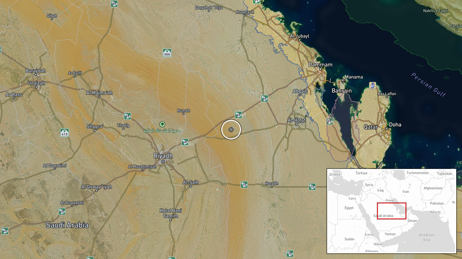
The coordinates correspond to the settlement of Hurays rather than to a specific plant, so precision is recorded as settlement level, though location confidence is marked high. Hurays lies inland in the desert interior of the Eastern Province, well west of the Gulf coast and within the wider oil field belt. The exact facility named in the post is not identified, so the pin marks the general area rather than an individual installation.
▶ View this event on the live map

Intel Mapper aggregates open-source reports from monitored Telegram and X channels, geolocates them, cross-checks duplicates across sources and assigns a confidence score. Entries are updated as new confirmations arrive. Read how we verify events.