Some flights approaching Jeddah reportedly entering holding patterns; cause unconfirmed
What happened
A single social media post from the X account @Osint613, published on 18 October 2026 at 22:06 UTC, reports that some flights approaching Jeddah, Saudi Arabia, appear to be entering holding patterns. The post does not state a cause, and its wording is tentative: the holding patterns are described as apparent rather than confirmed. The event is pinned to King Abdulaziz International Airport, the main air gateway serving Jeddah on the Red Sea coast. The report mentions no casualties, damage, or attributed actor, and it is classified as a report rather than a confirmed incident. The original post includes a link but no further detail about flight numbers, times, or air traffic control statements.
Context and assessment
Jeddah is Saudi Arabia's principal Red Sea port and one of its largest cities, and its airport handles substantial international and pilgrimage traffic, which makes it an important node in the kingdom's aviation network. Holding patterns are a routine tool air traffic controllers use when arrivals exceed runway capacity, when weather or low visibility intervenes, when a runway is closed, or when airspace is temporarily restricted. Any of these could explain the observation, and nothing in the data points to one over the others. The most notable related item is a deployment logged about seven hours earlier at King Fahd Air Base in Taif, where at least two Egyptian C-130H transport aircraft reportedly landed following National Defence Council approval for Egyptian troops to deploy to Saudi Arabia. Taif lies in the western highlands, some distance inland from Jeddah, and no source links the two events. Read together, the timing may point to a period of heightened military and logistical activity that increased airspace coordination demands, but that remains an inference rather than a finding. Until aviation authorities, airlines, or independent observers confirm the disruption, the holding-pattern report should be treated as a possible indicator of airspace or airport strain rather than evidence of a specific security incident.
Sources and confidence
The report comes from one channel, the X account @Osint613, with a source count of one and no independent cross-confirmation at the time of recording. The confidence score of 6.6 reflects that single-source status, the tentative wording of the original post, and the absence of a stated cause, partly offset by the link to the original material. Confidence would rise if flight tracking data, statements from the airport or air navigation service provider, or reports from airlines or passengers corroborated the holding patterns. It would fall if the holding patterns could not be matched to identifiable flights, or if a routine explanation such as weather or scheduled congestion were confirmed.
Location
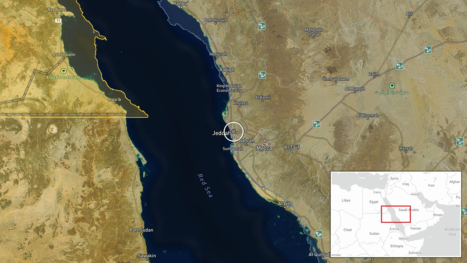
The location is set at King Abdulaziz International Airport in Jeddah, recorded at settlement-level geographic precision with high location confidence. The coordinates place the event at the airport as a whole rather than at a specific runway or approach corridor, which is typical when a source refers to an airport generally. The airport lies on the Red Sea coastal plain north of central Jeddah, with the sea to the west and the built-up city and surrounding desert to the east. Notable nearby features include the coastline and the flight approaches over the port and urban districts.
Related events nearby
- Egypt deploys troops to Saudi Arabia after National Defence Council approval; at least two Egyptian C-130H tra2026-10-18 11:25 UTC · Deployment · King Fahd Air Base, Taif, Saudi Arabia
▶ View this event on the live map

Intel Mapper aggregates open-source reports from monitored Telegram and X channels, geolocates them, cross-checks duplicates across sources and assigns a confidence score. Entries are updated as new confirmations arrive. Read how we verify events.