Taiwan reports 5 PLA aircraft sorties and 15 ships nearby; 3 aircraft cross median line
What happened
A post on the X account @MoNDefense reports that, as of 6 a.m. local time (UTC+8) on 19 October 2026, five sorties by People's Liberation Army aircraft, six People's Liberation Army Navy vessels and nine other official ships were detected operating around Taiwan. The report states that three of the five sorties crossed the median line of the Taiwan Strait and entered Taiwan's Air Defense Identification Zone in its northern, central and southwestern parts. The original wording adds that the Republic of China Armed Forces monitored the situation and responded. The text is a translation, and its time reference of 6 a.m. UTC+8 precedes the UTC timestamp recorded in the event data.
Context and assessment
The Taiwan Strait is one of the most closely monitored maritime and air corridors in the region, and the median line is an informal midpoint between Taiwan and mainland China that Beijing has not historically recognized as a boundary. The Air Defense Identification Zone is a declared zone for early warning and identification, not a claim to territorial airspace, so sorties entering it are typically read as signaling rather than as incursions into sovereign airspace. The event data contains no related events, so this report cannot be placed within a pattern drawn from the feed itself. Background knowledge suggests that Taiwan's defense ministry has published daily tallies of Chinese aircraft and naval activity for a number of years, and that such counts vary widely from day to day. Operationally, a combined total of aircraft, navy and other official vessels may indicate a broad presence maintained for monitoring, deterrence or readiness purposes. The data does not state whether this figure reflects routine activity or a named exercise, and a single day's count should not be read as evidence of escalation without later reporting that confirms a trend.
Sources and confidence
The event rests on one channel, an X post attributed to @MoNDefense, and the data records no independent cross-confirmation. The confidence score of 6.1 reflects that single-source status, the absence of imagery or tracking data, and the translated wording. Confidence would rise if the same counts appeared on Taiwan's official defense ministry website or press briefing, or if independent flight-tracking or maritime monitoring services reported matching sorties and vessel positions. It would fall if the account's attribution could not be verified, if the figures were later revised, or if no official source repeated them.
Location
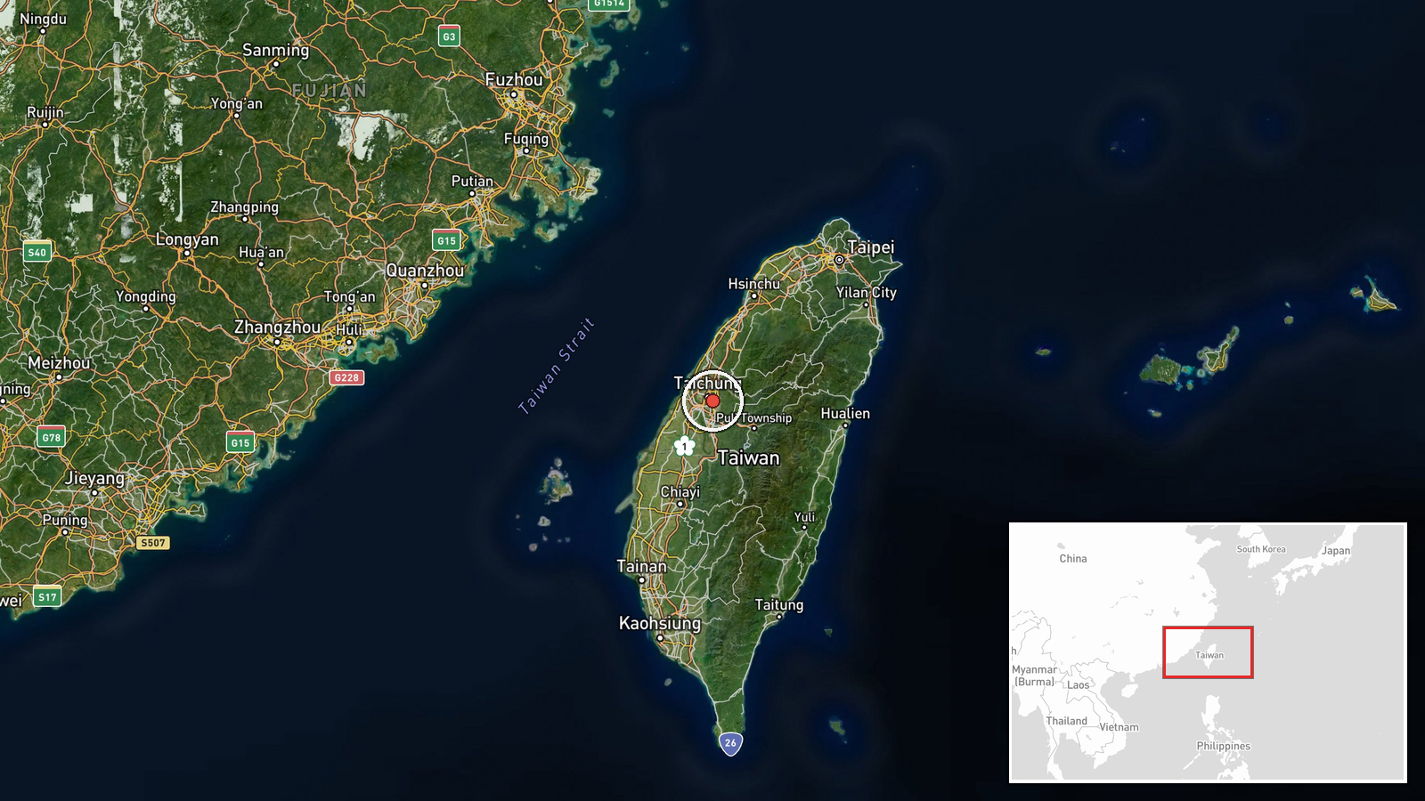
The coordinates place the point near Taichung on Taiwan's west coast, but the precision is recorded as regional, so the marker represents the wider strait area rather than any sortie position. The Taiwan Strait lies between Taiwan's western coast and mainland Fujian, and it narrows to roughly 130 kilometres at its tightest point. The location confidence is rated high for the general area, though the exact track of the aircraft and ships is not given in the report.
▶ View this event on the live map

Intel Mapper aggregates open-source reports from monitored Telegram and X channels, geolocates them, cross-checks duplicates across sources and assigns a confidence score. Entries are updated as new confirmations arrive. Read how we verify events.