USS Theodore Roosevelt reportedly leaves Yokosuka toward CENTCOM, per a single X post
What happened
A post on X from the account @Osint613 reports that the aircraft carrier USS Theodore Roosevelt has departed U.S. Fleet Activities Yokosuka in Japan and resumed its transit toward the U.S. Central Command area of responsibility. The post adds that this would bring three aircraft carriers into the CENTCOM area. The report gives no departure time, vessel heading, or destination port, and it cites no official U.S. Navy statement or imagery. The event is logged as a single-source movement report dated 19 October 2026, with the location recorded only as the Philippine Sea off Japan. The wording describes a deployment movement rather than any military action, so the entry should be read as a deployment claim, not a reported incident involving casualties or damage.
Context and assessment
Yokosuka is the forward base for the U.S. Navy's Seventh Fleet, and carriers homeported there often transit westward through the Philippine Sea, the South China Sea or the Indian Ocean when they are sent to the Middle East. CENTCOM covers the Arabian Peninsula, the Red Sea and the Arabian Sea, areas where carrier strike groups have been stationed during periods of regional tension. The dataset contains no related events for this entry, so the claim cannot be placed against a recent pattern of carrier movements or incidents in the same waters. A carrier transit of this kind is usually read as a signal of readiness and deterrence, since it adds air power and reach to a region. Operationally, though, the movement itself does not indicate what the ship would do on arrival, and routine rotations and surges can look similar in open reporting. Any interpretation of purpose should wait for official confirmation of the deployment and its intended tasking.
Sources and confidence
The entry rests on one channel, X account @Osint613, and no second outlet or official source appears in the data. The confidence score of 6.0 reflects that single-source status, offset by the plausibility of the claim, since Yokosuka is the known homeport of a forward-deployed carrier. Confidence would rise with a U.S. Navy or Seventh Fleet statement, reporting from maritime trackers such as USNI Fleet Tracker, or satellite or AIS evidence of the ship's track. It would fall if the account's earlier posts proved unreliable, if fleet tracking showed the carrier still in port, or if no corroboration appeared within days.
Location
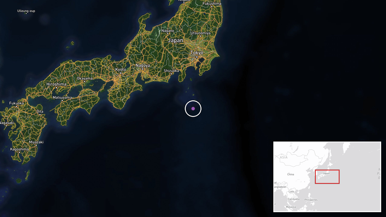
The location is recorded only as the Philippine Sea off Japan, and the coordinates (33.5 N, 139.5 E) are an approximate regional point rather than a reported position for the ship. That point lies in open water south of Honshu, roughly 200 kilometres south of Yokosuka on Tokyo Bay, which is the departure port named in the report. The Izu and Bonin island chains lie to the east and south of this area. The coordinates should be treated as a placeholder for the region, not a fix on the vessel.
▶ View this event on the live map

Intel Mapper aggregates open-source reports from monitored Telegram and X channels, geolocates them, cross-checks duplicates across sources and assigns a confidence score. Entries are updated as new confirmations arrive. Read how we verify events.