Reported IDF-published Hamas document describes charges near Gaza displacement camps
What happened
A post on X from the account @Osint613, published 19 October 2026 at 09:10 UTC, reports that an internal Hamas document, published by the Israel Defense Forces, shows explosive charges were planted near camps for displaced civilians in the Gaza Strip. The document reportedly instructs operatives to detonate the charges in the air 'in order to confuse the enemy's efforts.' The post does not include the document, the date of planting, the number of charges, or any casualty information. It is logged as a report rather than a confirmed incident, and the claim rests on material released by one party to the conflict.
Context and assessment
Displacement camps in Gaza have been a focal point of humanitarian concern throughout the conflict, so any report of explosives placed near them carries weight even before verification. The related events on the same day describe a strained environment. The World Food Programme said it will end food aid to 500,000 people in Gaza because of funding shortfalls, with warnings of hunger. The IDF separately reported killing three Hamas operatives in northern Gaza, including a cell commander, who it said were allegedly rebuilding capabilities, indicating that military activity continues in parts of the Strip. Israel also placed additional ground forces on standby ahead of the October 27 election. If the document is authentic, it may suggest an effort to use civilian-adjacent sites to deter or confuse strikes, but that reading depends entirely on provenance, which has not been independently established. The charges would matter operationally only if confirmed, and the report alone does not establish their existence or placement.
Sources and confidence
Only one channel, the X account @Osint613, carries this report in the available data, so cross-confirmation is absent. The source count is one and the confidence score is 6.0, a moderate-low value reflecting single-source reporting, an unverified primary document, and the lack of geolocated imagery or independent reporting. Confidence would rise if a wire service, a major outlet, or an independent analyst confirmed the document's authenticity, or if verified imagery showed charges near a named camp. It would fall if the IDF release were shown to be altered or if the account's record on prior claims proved unreliable. The report is not marked as corrected.
Location
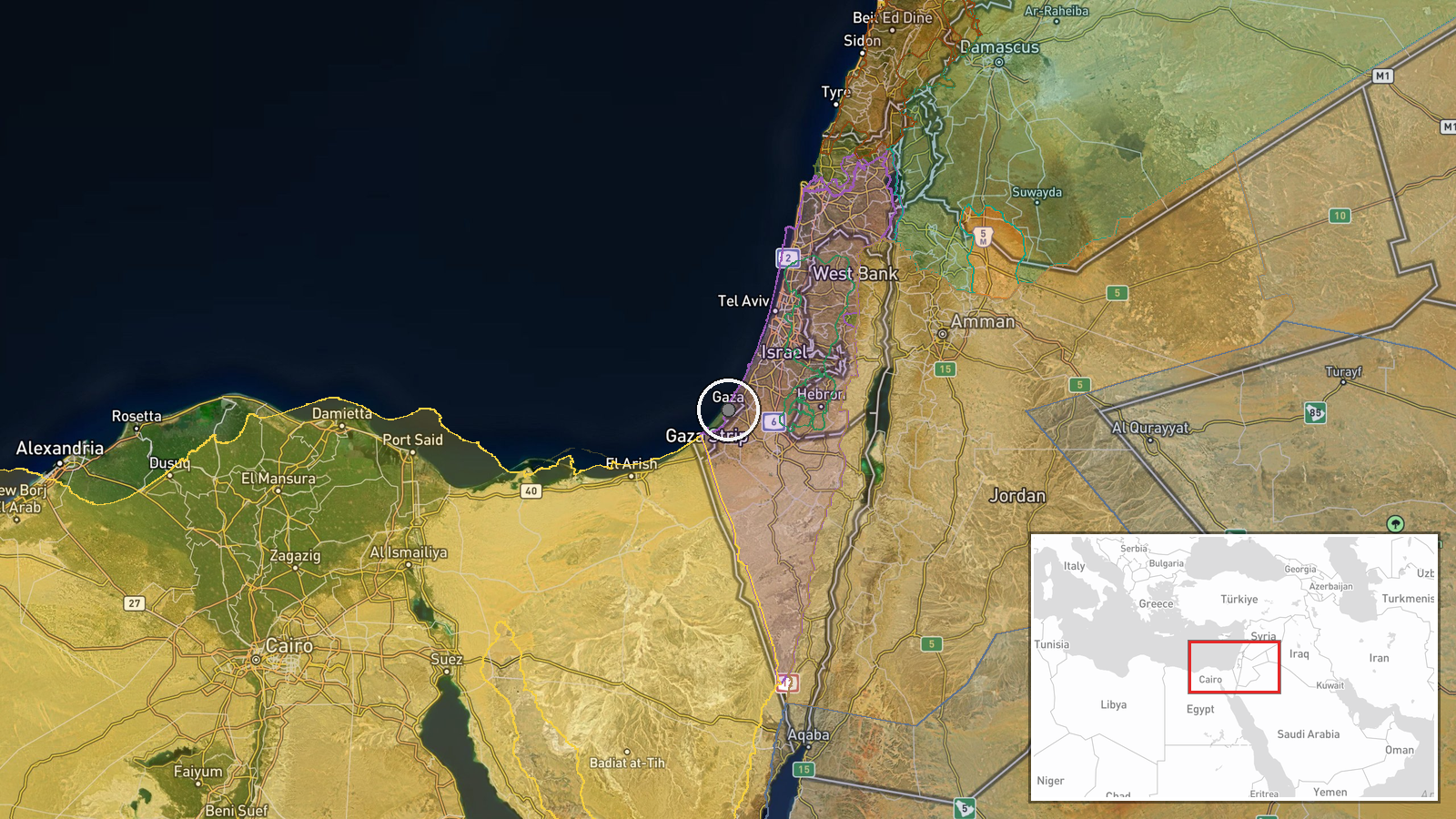
The location is recorded at region level as the Gaza Strip, Palestine, with high location confidence, so the coordinates (31.51, 34.46) represent a general area rather than a specific camp or facility. The Gaza Strip is a narrow coastal enclave on the eastern Mediterranean, bordered by Israel and Egypt, with dense urban areas and displacement camps concentrated in its central and southern parts. No specific camp is named in the report.
Related events nearby
- WFP announces it will end food aid to 500,000 people in Gaza due to funding shortfalls, amid warnings of hunge2026-10-19 07:19 UTC · Humanitarian Aid · Gaza Strip, Palestine
- IDF says three Hamas operatives, including cell commander Ma'gad Ahmed Mustafa Sabag, were killed in northern 2026-10-19 06:05 UTC · Combat · Gaza, Gaza
- IDF Chief of Staff Zamir ordered a leave freeze from Thursday and reinforced Central Command with Paratroopers2026-10-19 10:05 UTC · Deployment · Israel (location not reported)
- IDF issued an alert order placing additional ground forces on standby and is considering cancelling soldiers' 2026-10-18 15:17 UTC · Deployment · Israel (location not reported)
- USAF KC-135R tanker squawked 7700 (general emergency) over Tel Aviv, then landed at Ben Gurion Airport; no GPS2026-10-18 20:06 UTC · Report · Ben Gurion Airport, Tel Aviv, Israel
▶ View this event on the live map

Intel Mapper aggregates open-source reports from monitored Telegram and X channels, geolocates them, cross-checks duplicates across sources and assigns a confidence score. Entries are updated as new confirmations arrive. Read how we verify events.