Taiwan reports 27 PLA aircraft sorties, with 21 crossing the median line into its ADIZ
What happened
Taiwan's Ministry of National Defense, through its account on X, reported that 27 sorties by People's Liberation Army aircraft were detected starting at 1043 hours. The aircraft were listed as J-10, J-11, J-16, JH-7, H-6 and KJ-500 types. According to the post, 21 of the 27 crossed the median line of the Taiwan Strait and entered the northern, central and southwestern parts of Taiwan's air defense identification zone before heading toward the western Pacific for what the post describes as joint air-sea training and long-distance flights. The post says the Republic of China Armed Forces monitored the situation and responded accordingly, without giving details. The report does not describe any interception, collision or damage, and the time reference is as stated in the original post.
Context and assessment
The median line of the Taiwan Strait is an informal boundary that Beijing and Taipei have long treated differently, so aircraft crossing it draw close attention even though the crossing does not itself indicate a violation of sovereign airspace. The Air Defense Identification Zone is a broader area in which Taiwan tracks and identifies incoming aircraft, and entry into it is routinely reported as a measure of military pressure. The aircraft mix is significant. J-10, J-11 and J-16 are multirole fighters, JH-7 is a fighter-bomber, H-6 is a bomber, and KJ-500 is an airborne early warning and control aircraft. Combining these types suggests a coordinated package rather than routine patrol, and the post's reference to joint air-sea training matches that reading. The westward-to-Pacific routing and the mention of long-distance flights may indicate exercises that extend beyond the immediate strait. The dataset contains no related events, so this report cannot be placed against a recent pattern from the feed alone. Background reporting on PLA air activity around Taiwan does describe periods of heightened sorties, and this report could be read as one such episode, but the source does not establish intent or duration.
Sources and confidence
The event rests on a single channel, the X account @MoNDefense, which is the only source recorded for this event and is attributed to Taiwan's defense establishment. No wire service, independent outlet or second government channel in the dataset confirms the sortie count or routing. The confidence score of 6.0 reflects a credible official source with direct reporting responsibility, offset by single-channel status and the lack of independent tracking data. The score would rise with corroboration from other Taiwan government statements, regional flight-tracking data, or a statement from the PLA or Chinese officials. It would fall if the original post were corrected, withdrawn or contradicted by other data. The record is not marked as corrected.
Location
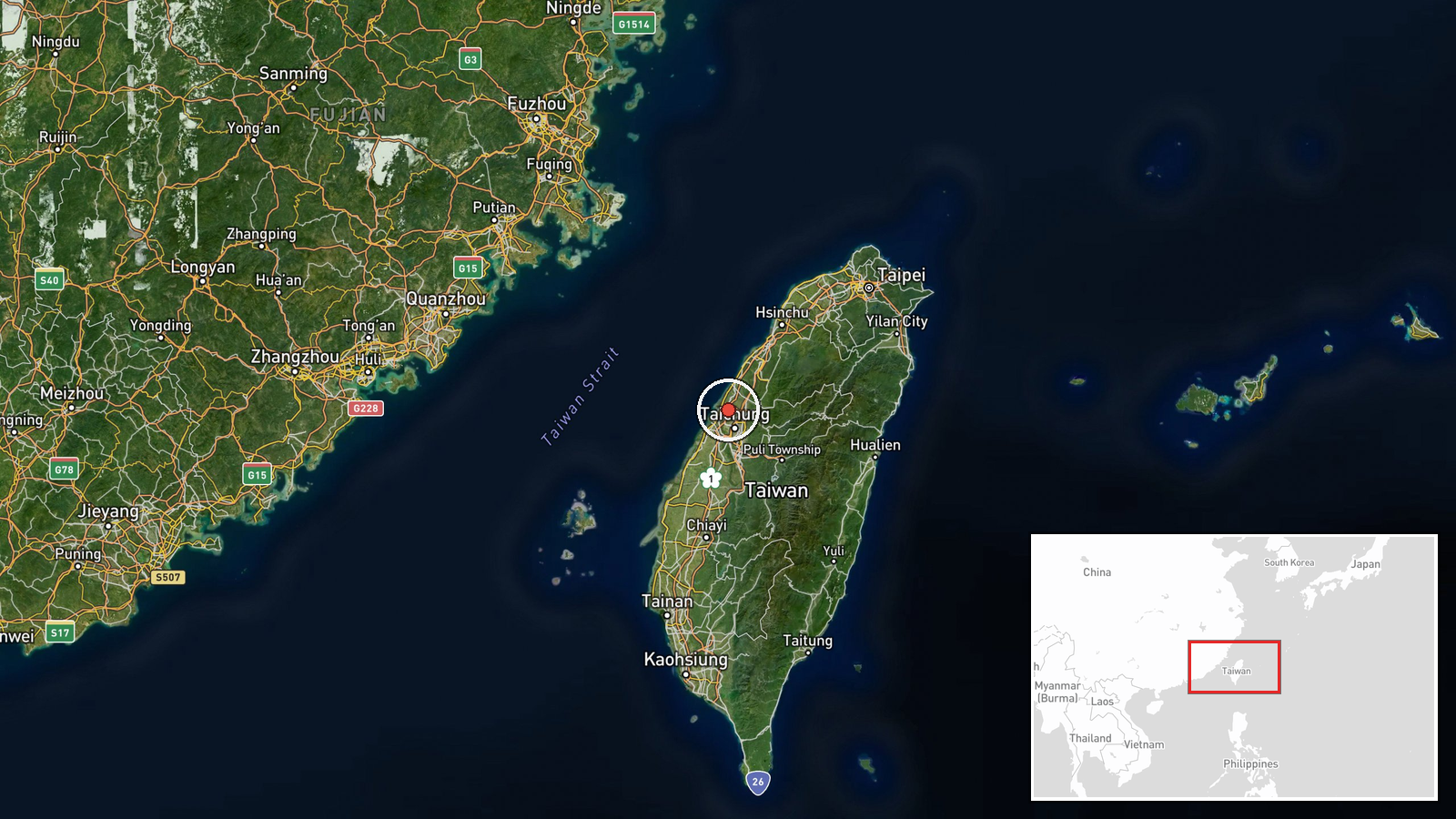
The coordinates 24.28 and 120.60 are a region-level point rather than a settlement or facility. The point sits on Taiwan's west-central coast, not on the strait itself, so it marks the general area where the median line activity occurred rather than an exact position. Nearby features include the Taiwan Strait to the west and the central west coast of Taiwan, where the ADIZ's northern and central sectors meet the island.
▶ View this event on the live map

Intel Mapper aggregates open-source reports from monitored Telegram and X channels, geolocates them, cross-checks duplicates across sources and assigns a confidence score. Entries are updated as new confirmations arrive. Read how we verify events.