Bundeswehr rates Russian sabotage risk 'significant' after drone found at Wunstorf base
What happened
A report published on 21 October 2026 states that Germany's armed forces, the Bundeswehr, has for the first time rated the risk of Russian sabotage against its own troops and facilities as 'significant', the second-highest level on its internal scale. The reporting links this assessment to a crashed drone carrying highly explosive material, found in mid-September just metres from an aircraft at Wunstorf air base in Lower Saxony. Technical analysis by the Federal Criminal Police Office (BKA), as cited in the report, indicates the drone may have lain near the base for roughly two years. Investigators reportedly believe military aircraft were the target rather than civilian ones. The assessment says Moscow almost certainly has the capability and very likely a growing intent to strike German military sites and Ukrainian personnel in Germany. The original text attributes the material to WDR and Süddeutsche Zeitung.
Context and assessment
Wunstorf is a military aviation site in northern Germany, so an explosive-laden drone found beside aircraft there carries weight beyond a single incident. Aircraft on the ground are high-value targets, and damaging them would affect both readiness and the logistics that support Germany's wider defence commitments. Germany has also become a central hub for support to Ukraine, including the training of Ukrainian personnel on German soil, which the assessment explicitly names as a potential target group. Taken together, these factors help explain why the Bundeswehr would reassess sabotage risk in these terms. No related events are linked to this entry in the database, so this report cannot be checked against a documented sequence of incidents, and any claim of a broader campaign would go beyond the evidence here. Operationally, a device reportedly lying undetected for about two years raises questions about perimeter surveillance and detection, and about whether placement was deliberate or opportunistic. The drone alone does not establish who deployed it. Attribution to Russia rests on the assessment's judgement of capability and intent, which is a policy conclusion rather than a forensic finding tied to this specific device.
Sources and confidence
The data lists one channel, X (@Osint613), with a source count of one. The original text names WDR and Süddeutsche Zeitung as the outlets behind the reporting, but neither appears as a separate source in the record, so cross-confirmation within the data is not established. The confidence score of 6.5 reflects a single listed channel, a policy-level assessment rather than a published forensic finding, and attribution that depends on the assessment's judgement. Confidence would rise with direct access to the WDR or Süddeutsche Zeitung reporting, an official Bundeswehr or federal government statement, or statements from prosecutors on the drone's origin. It would fall if the two-year timeline or the identification of the aircraft as the target were disputed by officials.
Location
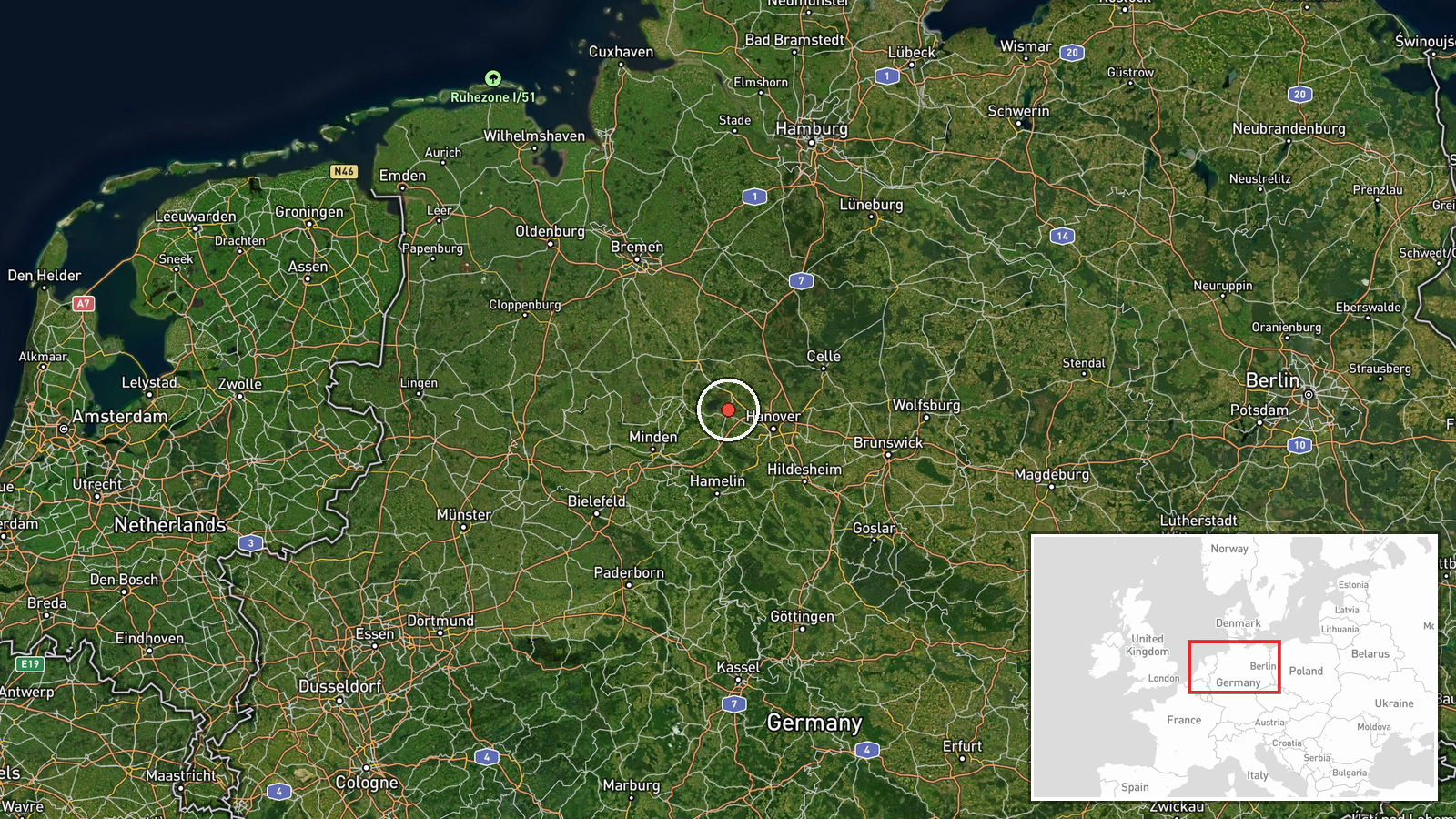
The location is recorded at settlement precision, placing the point on the town of Wunstorf, in the district of Hanover, Lower Saxony. The coordinates correspond to the base area rather than an exact runway or hangar position. Wunstorf sits on the flat North German Plain, and the Steinhuder Meer, a large shallow lake, lies to its north-west. The surrounding terrain is open and largely agricultural, with the town and base close to the Hanover metropolitan area.
▶ View this event on the live map

Intel Mapper aggregates open-source reports from monitored Telegram and X channels, geolocates them, cross-checks duplicates across sources and assigns a confidence score. Entries are updated as new confirmations arrive. Read how we verify events.